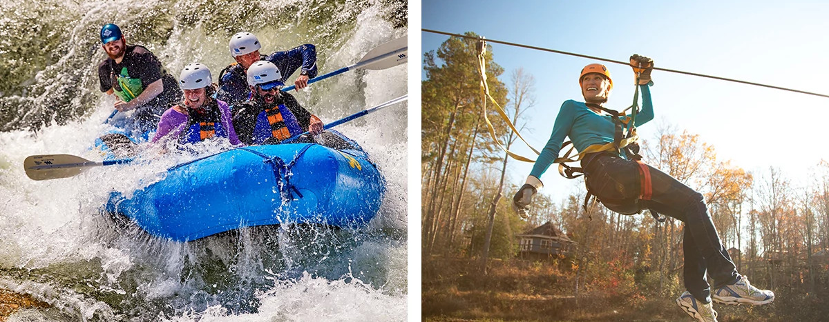
Whitewater Map
Explore rapids, waterfalls, playspots, hazards, and portages across the United States
24,753
Total Features
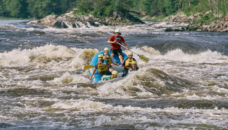
21,352
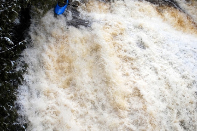
Rapids
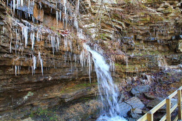
855
Waterfalls
927
Playspots
1,513
Hazards
106
Portages
Click a category above to filter the map and list
Loading...
Map Legend
Rapids
Waterfalls
Playspots
Hazards
Portages
Rivers
Arkansas 48 features
Take Out
Rapid
N/A

Put In
Rapid
N/A
Take Out
Rapid
N/A

Put In
Rapid
N/A

Take Out
Rapid
N/A

marked rapids
Rapid

Marked rapids
Rapid

Put In
Rapid
N/A

Put In
Rapid
N/A

Take Out
Rapid
N/A

Take Out
Rapid
N/A

Put In
Rapid
N/A

Put In
Rapid
N/A

Put In
Rapid
N/A

Put In
Rapid
N/A

Take Out
Rapid
N/A

Take Out
Rapid
N/A
Take Out
Rapid
N/A

Take Out
Rapid
N/A
Baby Zwicks
Rapid
IV

Duck and Cover
Hazard
IV+
EFLB Confluence
Rapid
Entrance to Lower Gorge
Hazard
V

Freeride
Hazard
V+

Long Branch Saloon
Waterfall
IV+

Particle Separator
Hazard
V
Put In
Rapid
N/A
Put-in Parking
Rapid
N/A
Switchback
Rapid
IV

Take Out
Rapid
N/A

The Waterpark
Waterfall
IV
Devil's Playground
Hazard
IV+
Drainage: ~1.23 square miles
Rapid
N/A
Millstone Falls
Waterfall
III
Put In
Rapid
N/A
Put-in Parking
Rapid
N/A
Richland Creek Confluence
Rapid
N/A
Take Out
Rapid
N/A
Twin Devil's Falls
Hazard
IV
Put In
Rapid
N/A
Take Out
Rapid
N/A
Put In
Rapid
N/A
Take Out
Rapid
N/A
Put In
Rapid
N/A
Take Out
Rapid
N/A

Put In
Rapid
N/A
Take Out
Rapid
N/A
Put In
Rapid
N/A