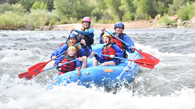
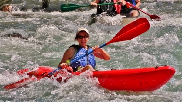
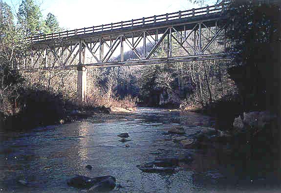
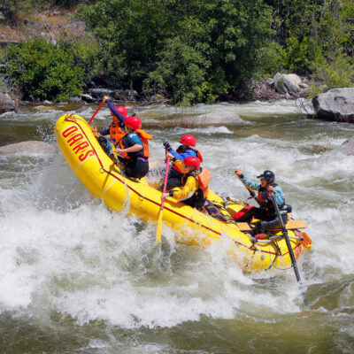
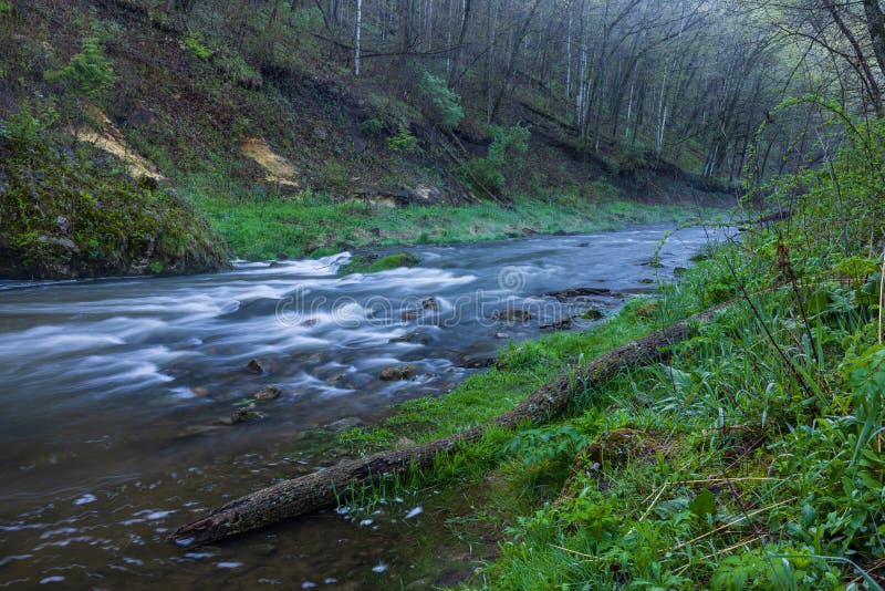
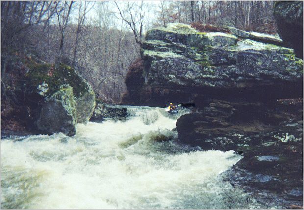
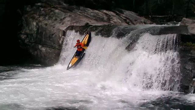
24,753
Total Features
21,352
Rapids
855
Waterfalls
927
Playspots
1,513
Hazards
106
Portages

Click a category above to filter the map and list

Loading...

Map Legend

Rapids
Waterfalls
Playspots
Hazards
Portages
Rivers

Arkansas 48 features

Take Out

Take Out

Mill Creek (Scott County) - Hwy 270 to Fourche LaFave River (3 miles)
Rapid N/A
Put In

Put In

Moore Creek - Hwy 246 to Hwy 278/4 (6.5 miles)
Rapid N/A
Take Out

Take Out

Moore Creek - Hwy 246 to Hwy 278/4 (6.5 miles)
Rapid N/A
Put In

Put In

Mormon Creek - Headwaters to Mill Creek (Franklin Co.) (1.5+2.5 miles)
Rapid N/A
Take Out

Take Out

Mormon Creek - Headwaters to Mill Creek (Franklin Co.) (1.5+2.5 miles)
Rapid N/A
C turn below Hamm's

C turn below Hamm's

Mulberry - 3) HWY 23 (Turner's Bend) to Campbell's Cemetery (10 miles)
Playspot
Campbell's Cemetery Rapid

Campbell's Cemetery Rapid

Mulberry - 3) HWY 23 (Turner's Bend) to Campbell's Cemetery (10 miles)
Playspot
Hamm's Fall

Hamm's Fall

Mulberry - 3) HWY 23 (Turner's Bend) to Campbell's Cemetery (10 miles)
Playspot
Mill Creek Access

Mill Creek Access

Mulberry - 4) Campbell's Cemetery to Highway 215 N of I-40 (16 miles)
Rapid N/A
Put In

Put In

Mulberry - 1) Wolf Pen Recreation Area to Redding Campground (12 miles)
Rapid N/A
Put In

Put In

Mulberry - 3) HWY 23 (Turner's Bend) to Campbell's Cemetery (10 miles)
Rapid N/A
Put In

Put In

Mulberry - 2) Redding Campground to HWY 23/Turner's Bend (3.6 miles)
Rapid N/A

Put In - Campbell's Cemetery

Mulberry - 4) Campbell's Cemetery to Highway 215 N of I-40 (16 miles)
Rapid N/A
Redding Put-in

Redding Put-in

Mulberry - 2) Redding Campground to HWY 23/Turner's Bend (3.6 miles)
Rapid

Spirit Creek Access (4-wd drive only)

Mulberry - 4) Campbell's Cemetery to Highway 215 N of I-40 (16 miles)
Rapid N/A
Take Out

Take Out

Mulberry - 2) Redding Campground to HWY 23/Turner's Bend (3.6 miles)
Rapid N/A
Take Out

Take Out

Mulberry - 1) Wolf Pen Recreation Area to Redding Campground (12 miles)
Rapid N/A

Take Out - Highway 215 N of I-40

Mulberry - 4) Campbell's Cemetery to Highway 215 N of I-40 (16 miles)
Rapid N/A
Put In

Put In

North Sylamore Creek - Barkshed to Allison (4 - 14.5 miles)
Rapid N/A
Take Out

Take Out

North Sylamore Creek - Barkshed to Allison (4 - 14.5 miles)
Rapid N/A
Put In

Put In

Opossum Creek - Baker Road to Gillham Lake (6.2 miles)
Rapid N/A
Take Out

Take Out

Opossum Creek - Baker Road to Gillham Lake (6.2 miles)
Rapid N/A

Bottleneck

Osage Creek - Compton to Carroll County Road 11 (6 miles)
Rapid IV
Howler

Howler

Osage Creek - Compton to Carroll County Road 11 (6 miles)
Hazard IV+
Magic Mushroom

Magic Mushroom

Osage Creek - Compton to Carroll County Road 11 (6 miles)
Rapid IV
Old Mill Falls

Old Mill Falls

Osage Creek - Compton to Carroll County Road 11 (6 miles)
Waterfall III+

Put In

Osage Creek - Compton to Carroll County Road 11 (6 miles)
Rapid N/A
Starting Gun

Starting Gun

Osage Creek - Compton to Carroll County Road 11 (6 miles)
Waterfall III

Switchback

Osage Creek - Compton to Carroll County Road 11 (6 miles)
Rapid IV
Take Out

Take Out

Osage Creek - Compton to Carroll County Road 11 (6 miles)
Rapid N/A
Big Rock (House Rapid)

Big Rock (House Rapid)

Ouachita - 3) Dragover
Playspot II
Diagonal Ledge

Diagonal Ledge

Ouachita - 3) Dragover
Playspot I
Hungry Hole

Hungry Hole

Ouachita - 3) Dragover
Hazard II
Put In

Put In

Ouachita - 3) Dragover
Rapid N/A
Put In

Put In

Ouachita - 4) Remmel Dam to I-30 at Malvern
Rapid N/A
Put In

Put In

Ouachita - 2) Little Hope Road to USFS Dragover Campground
Rapid N/A
Put In

Put In

Ouachita - 5) Rockport Ledge (Park-n-Play)
Rapid N/A
Put In

Put In

Ouachita - 1) Acorn to Little Hope Road
Rapid N/A
Take Out

Take Out

Ouachita - 1) Acorn to Little Hope Road
Rapid N/A
Take Out

Take Out

Ouachita - 3) Dragover
Rapid N/A
Take Out

Take Out

Ouachita - 4) Remmel Dam to I-30 at Malvern
Rapid N/A
Take Out

Take Out

Ouachita - 5) Rockport Ledge (Park-n-Play)
Rapid N/A
Take Out

Take Out

Ouachita - 2) Little Hope Road to USFS Dragover Campground
Rapid N/A
Big Boof

Big Boof

Possum Trot Hollow - Nail to Walnut (4.9 miles)
Rapid IV+
Boulder Waterfall

Boulder Waterfall

Possum Trot Hollow - Nail to Walnut (4.9 miles)
Hazard V
Hydraulic Undercut

Hydraulic Undercut

Possum Trot Hollow - Nail to Walnut (4.9 miles)
Hazard V
Impressive

Impressive

Possum Trot Hollow - Nail to Walnut (4.9 miles)
Hazard V
Manky #1

Manky #1

Possum Trot Hollow - Nail to Walnut (4.9 miles)
Hazard V
« Prev1...2223242526...516Next »