How's Your
River
×
Explore
Explore Map
Water Bodies
Gauges
Access Sites
Tidal Stations
Whitewater
Pricing
Login
Sign Up
Hazard Warning:
Hazard information may be user-submitted and unverified. Conditions change frequently. Always scout rapids and obstacles yourself.
Whitewater
California
Yuba, North - 1. Wild Plum Campground to Downieville
Moss Canyon
Waterfall
CA
Class V
Moss Canyon
Yuba, North - 1. Wild Plum Campground to Downieville (CA)
Monitor this Rapid
Water Body
This Run
Map
Other Rapids
Gauge
Weather
Directions
Gauge Conditions
N Yuba River below Goodyears Bar CA
Downstream
Primary
Runnable: 250.0 – 2,500.0 CFS
Data from
American Whitewater
&
USGS
CDEC Flow Data
California
N YUBA R BLW GOODYEARS BAR
GYB
Primary
Elevation: 2,453 ft
Data from
California Data Exchange Center
(CDEC)
Photo
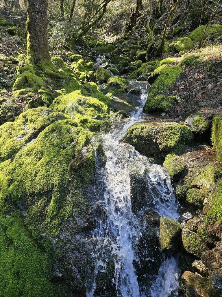
Photo courtesy of
American Whitewater
Description
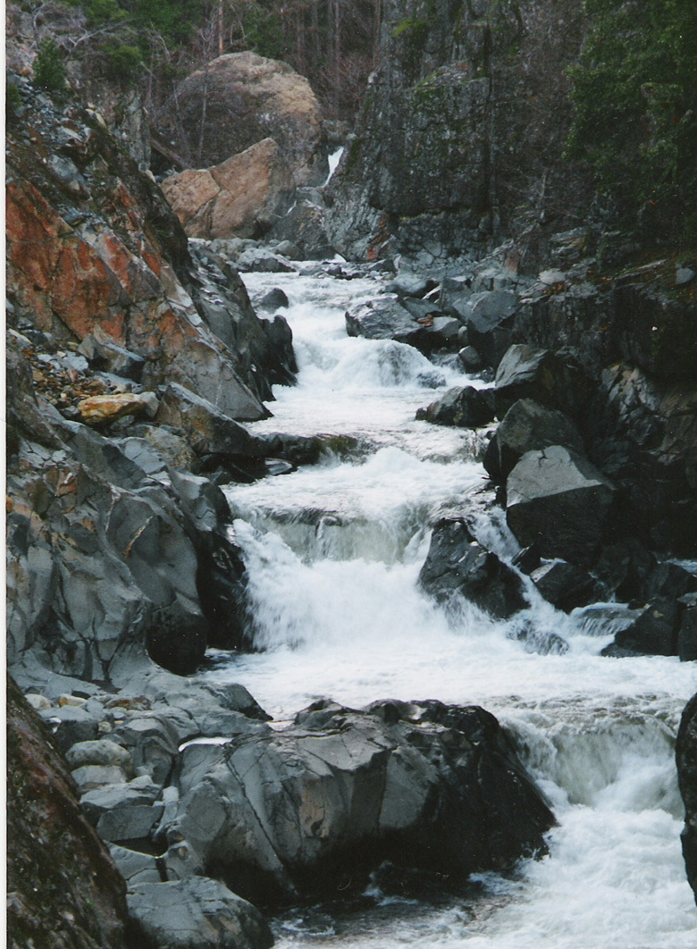
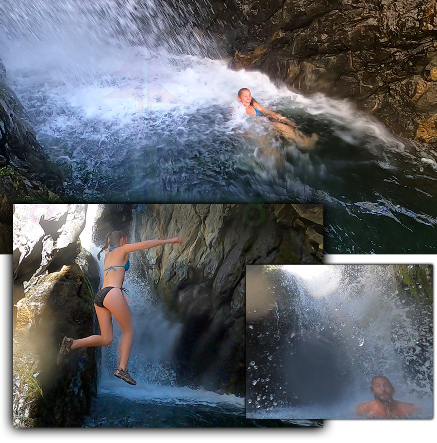
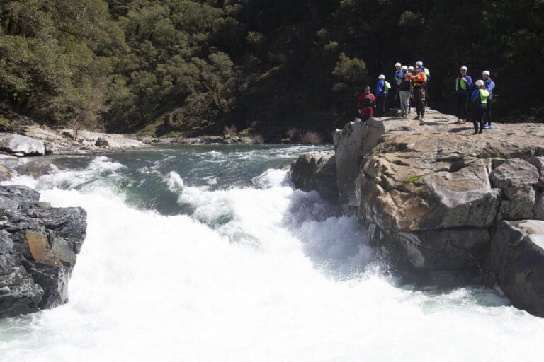
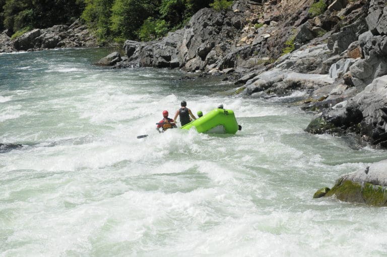
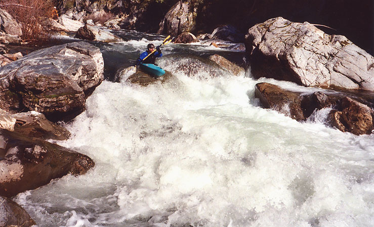
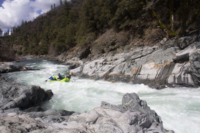
Moss Canyon is away from the road and becomes a section of this run not to forget at high water. This beautiful, tight canyon packs rapids with big holes behind big rocks. Lots of twisting rapids with momentum-stopper holes.
Location
Radar
Counties
Cell
Verizon
AT&T
T-Mobile
Dark
Satellite
Terrain
Other Rapids on This Run (11)
Rapid
Put-In
0.0 mi
Waterfall
V
Loves Falls
0.0 mi
Waterfall
IV
Whorehouse
2.4 mi
Hazard
IV
Gillespie Dam
2.9 mi
Rapid
IV
Highway Rapid
5.1 mi
Waterfall
V
Ladies Canyon Rapid
6.5 mi
Rapid
III
Union Flat Campground
7.0 mi
Waterfall
V
Boss Moss
9.2 mi
Waterfall
IV
Floss Moss
9.3 mi
Rapid
III
Shangri-La
10.5 mi
Rapid
III
Downie Creek
12.9 mi
Type
Waterfall
Difficulty
Class V
Mile Marker
9.1 mi
Directions
Navigate
View Full Run
1. Wild Plum Campground to Downieville
Yuba, North
IV-V
14.5 mi
Current Conditions
5-Day Forecast
Whitewater data from
American Whitewater
Moss Canyon