D) LaSalle Falls/Gorge and Breakwater Falls/Gorge (PnH or up to 2.4 miles)
Linked via: Nhdplus discovery 90% confidence Synced 6mo ago
Gauge Conditions
Runnable: 250.0 – 2,000.0 CFS
Likely good (low-to-moderate) flows for LaSalle; Likely too low for Pine 'Narrows'.
Data from American Whitewater & USGS
Run Map
Run Time Estimate
Select put-in and take-out to estimate time.
Unlock Advanced Trip Planning
See wind-adjusted speed maps, forecast planning, and detailed time estimates.
Sign in to generate an AI timing estimate for this run.
Whitewater timing varies with scouting, portages, and group pace. Use as a planning baseline.
Description
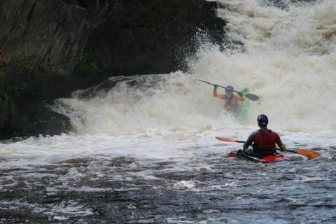
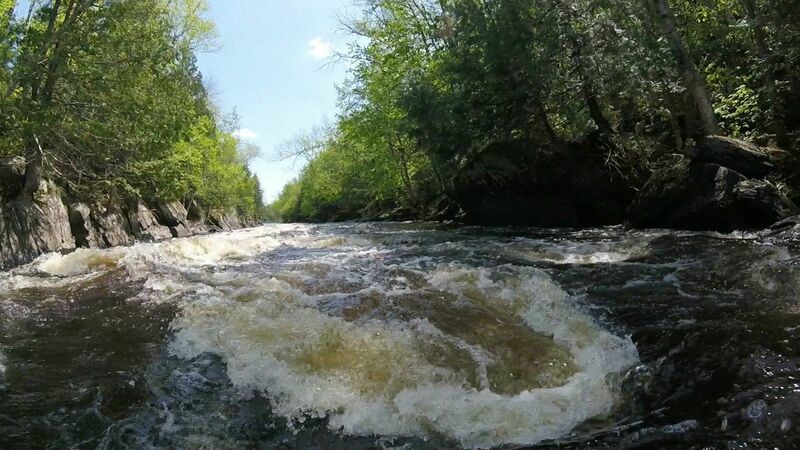
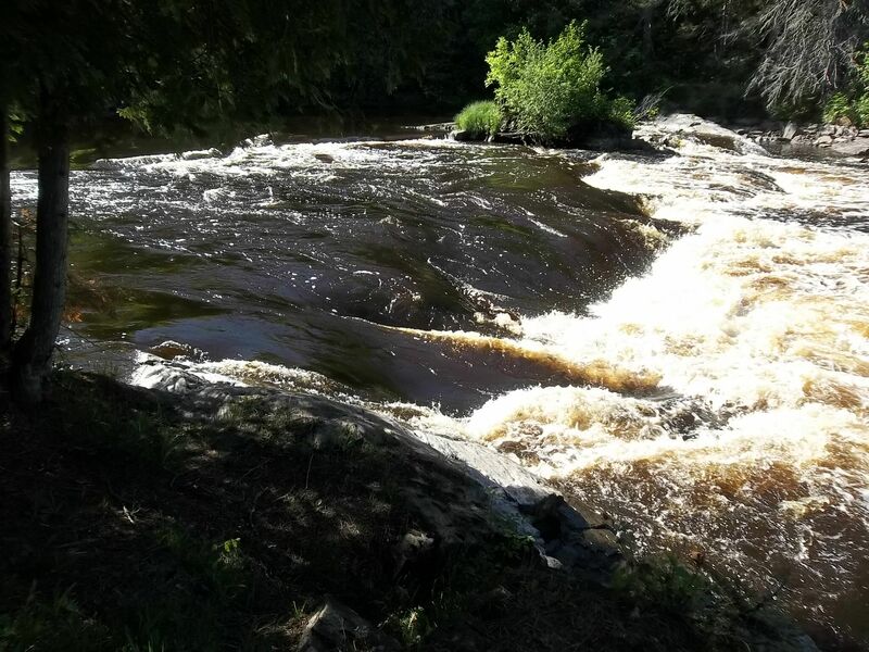
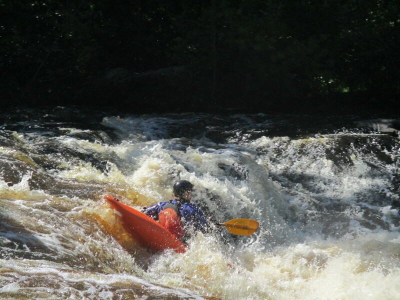
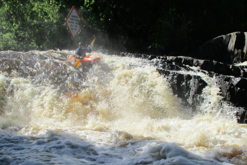
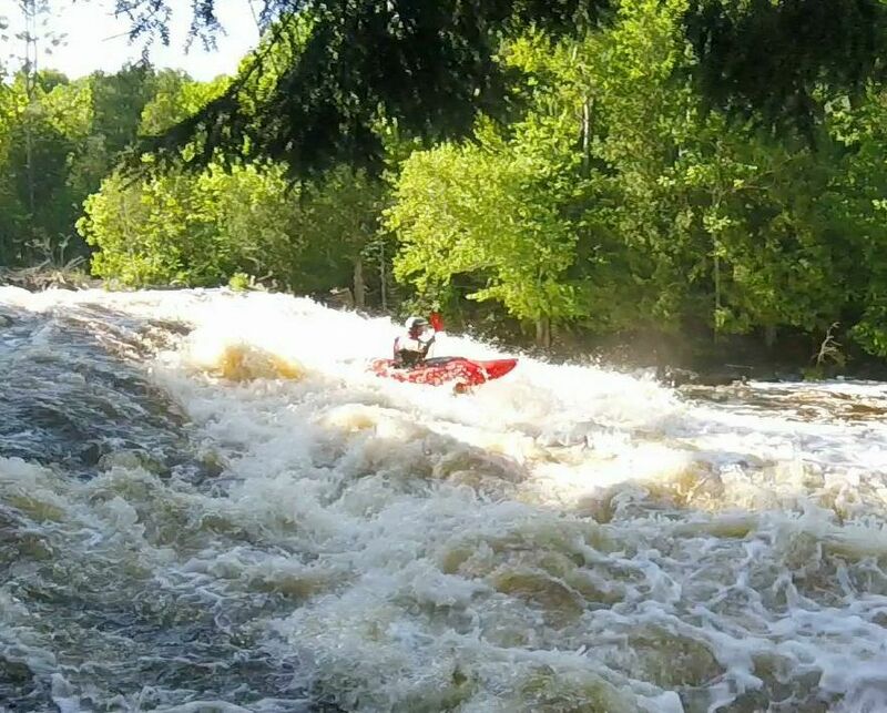
In just 2.4 miles of river, this dramatic whitewater reach features LaSalle Falls (20’ drop at class 4+ to 5), LaSalle Gorge Rapids (1/4-mile, Class 2-4 depending on flow), 1st drop of 5-Ridges near Halls Creek (Class 0-2 depending on flow), the 3 drops of Breakwater Falls (60’ total drop at Class 4+ to 5), and Breakwater Gorge Rapids (1/4-mile, Class 2-3 depending on flow). Total drop for this 2.4 miles stretch of the Pine River is 146 feet. As a state designated Wild River improved access to LaSalle Falls and Gorge is purposely limited. There are 4 very different options for access to LaSalle Falls. Two are carry-in (0.4-mile or 1-mile options). Two are paddle-in options (both involve 4.1-miles, 1.25 hours, of paddling to the Falls). Breakwater Falls and Gorge has good public access along river-right (WE Energies land).
As a culmination of a multi-year effort, in January of 2019, the Wisconsin Geographic Names Council accepted Breakwater Falls as the official name for the falls on the Pine River below the Pine Dam. This name existed prior to the building of the Pine Dam (1922) but was lost because the river channel below the dam was dewatered for much of every year. In 1995, FERC required run-of-river operation of the dam and a minimum flow release but, having lost its name recognition, the falls remained nameless and thus not on maps, guidebooks, or websites. The Wisconsin Names Council has now forwarded the name, Breakwater Falls, on to the United States Board on Geographic Names for federal recognition.
Rapids in this Run (8)
Hazards & Portages (1)
Caution: The following locations may require scouting or portaging. Always check current conditions.
Difficulty
Class IV(V)
Length
2.4 mi
Gradient
61 ft/mi
Rapids
8
1 Portage
Access Points
Shuttle Info
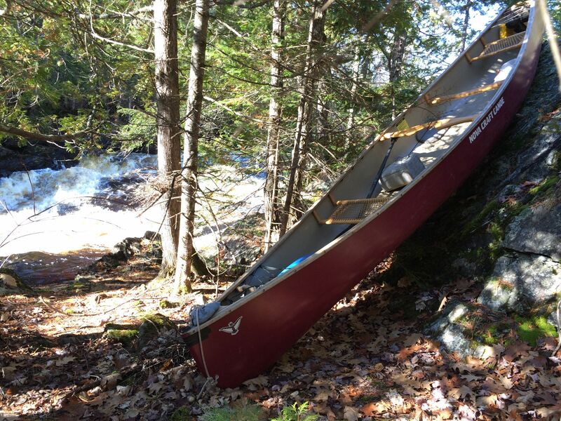
As a state designated Wild River improved access to LaSalle Falls and Gorge is naturally rugged and purposely limited. There are 4 very different options for access to LaSalle Falls. Option 1) For the easiest, no-shuttle trip, put in at the flowage (public landings on northside (45.829455, -88.255353) or southside (45.828694, -88.258641)) and paddle ½ mile west, up the flowage, then ¾ mile upriver. This upriver section is usually gently flowing flatwater but when flows are high (over 1500 at USGS flow station) you may need to do a short carry (river-right) around a river-wide, 2-foot standing wave caused by the submerged ledge just upriver from Halls Creek. Takeout at the portage trail (river-right, signed, 45.829406, -88.285598) at the end of the Gorge Rapids and portage 0.4 miles up the trail to the falls. Option 2) Paddle 4.1 miles (about 1.25 hours) downriver from the Hwy 101 put-in to the signed, LaSalle Falls portage (river-right, 45.831951, -88.292100) for scouting. This route involves a 10-mile shuttle. Don’t seriously consider using White Ash Road as access. It is a long, rugged road and often impassable in spring or with wet weather. Option 3) Drive in to the trailhead parking lot for LaSalle Falls trail and carry in 1 mile to the falls. The route in is by LaSalle Falls Rd off of County C, then follow the signs. This trip can have a 4.5-mile all-backroads shuttle if you hike in and out from the trailhead parking lot, or a 5.3-mile backroads shuttle (follow the signs) if you take out at the generating station at the end of Breakwater Gorge. Option 4) For an all-paved road option, when backroads are soft from frost or heavy rain, a put-in at Hwy 101 and takeout at County N makes for an 8.5 mile, all-river trip, with a 10.5 mile shuttle.
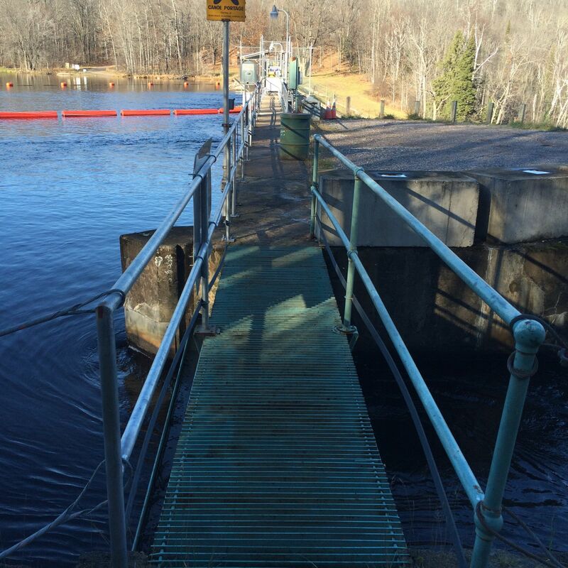
The most common access to Breakwater Falls is to park near the generating station (45.826598, -88.248065, do not block utility access). The service road is publicly available for walk-in access to Breakwater Falls. There is a closed vehicle gate by the generating station but there is an open man-pass on the right end of the gate. Carry 1,800 feet up the gravel service road. Continue to the right, on the mowed slope down to the river when the service road goes left, up to the top of the dam. There is no easy access to put-in on river-left. Portaging around the Pine Dam is the thru-paddlers route to Breakwater Falls.
Difficulty Classes
I Easy
II Novice
III Intermediate
IV Advanced
V Expert/Extreme
VI Unrunnable
Current Conditions
5-Day Forecast
Whitewater data from
American Whitewater
American Whitewater