LaSalle Falls Access Options
Pine - D) LaSalle Falls/Gorge and Breakwater Falls/Gorge (PnH or up to 2.4 miles) (WI)
Gauge Conditions
Likely good (low-to-moderate) flows for LaSalle; Likely too low for Pine 'Narrows'.
Photo
Description
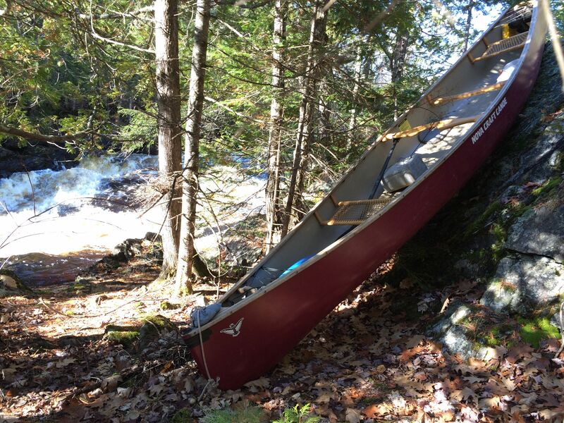
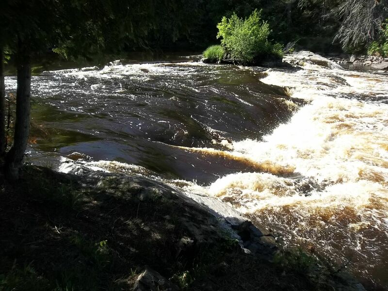
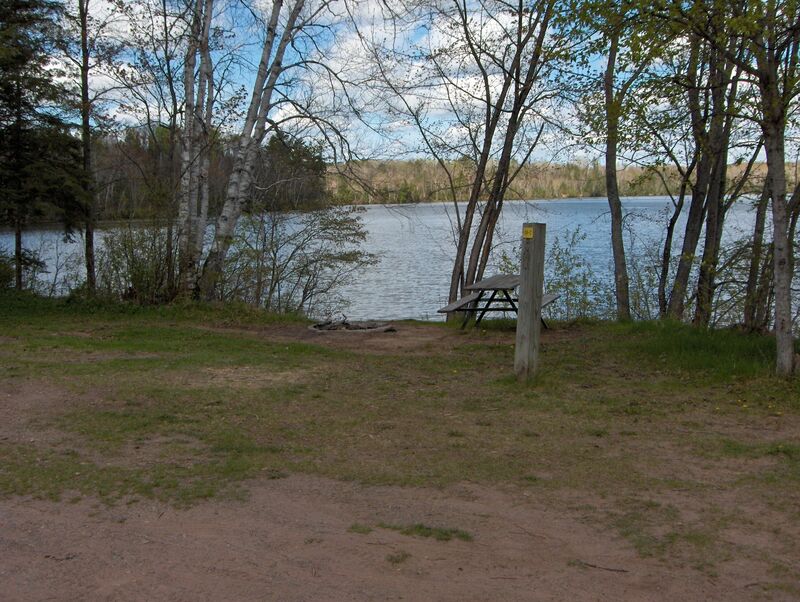
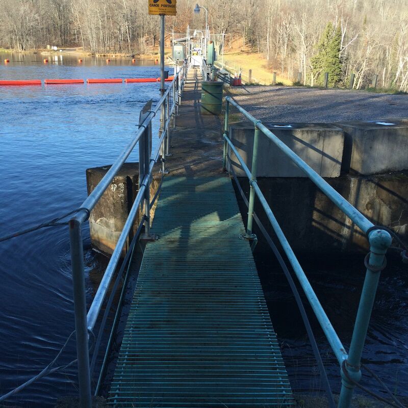
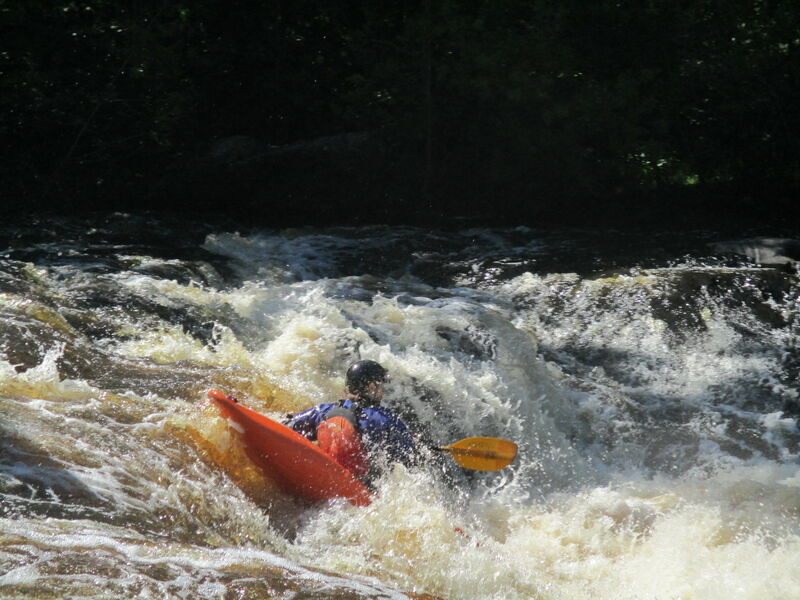
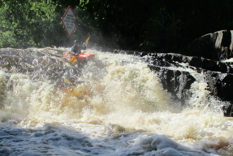
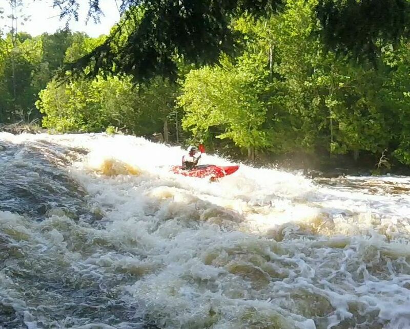
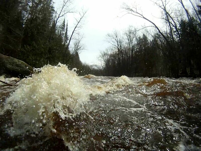
As a state designated Wild River improved access to LaSalle Falls and Gorge is naturally rugged and purposely limited. There are 4 very different options for access to LaSalle Falls. Option 1) For the easiest, no-shuttle trip, put in at the flowage (public landings on northside (45.829455, -88.255353) or southside (45.828694, -88.258641)) and paddle ½ mile west, up the flowage, then ¾ mile upriver. This upriver section is usually gently flowing flatwater but when flows are high (over 1500 at USGS flow station) you may need to do a short carry (river-right) around a river-wide, 2-foot standing wave caused by the submerged ledge just upriver from Halls Creek. Takeout at the portage trail (river-right, signed, 45.829406, -88.285598) at the end of the Gorge Rapids and portage 0.4 miles up the trail to the falls. Option 2) Paddle 4.1 miles (about 1.25 hours) downriver from the Hwy 101 put-in to the signed, LaSalle Falls portage (river-right, 45.831951, -88.292100) for scouting. This route involves a 10-mile shuttle. Don’t seriously consider using White Ash Road as access. It is a long, rugged road and often impassable in spring or with wet weather. Option 3) Drive in to the trailhead parking lot for LaSalle Falls trail and carry in 1 mile to the falls. This trip can have a 4.5-mile all-backroads shuttle if you hike in and out from the trailhead parking lot, or a 5.3-mile backroads shuttle if you take out at the generating station at the end of Breakwater Gorge. Option 4) For an all-paved road option, when backroads are soft from frost or heavy rain, a put-in at Hwy 101 and takeout at County N makes for an 8.5 mile, all-river trip, with a 10.5 mile shuttle.
Location
Other Rapids on This Run (11)
 Rapid
N/A
Rapid
N/A
 Rapid
IV+
Rapid
IV+
 Rapid
II+
Rapid
II+
 Rapid
II
Rapid
II
 Rapid
N/A
Rapid
N/A
 Portage
N/A
Portage
N/A
 Rapid
IV+
Rapid
IV+
 Rapid
IV+
Rapid
IV+
 Rapid
IV+
Rapid
IV+
 Rapid
II+
Rapid
II+
 Rapid
N/A
Rapid
N/A
Current Conditions
5-Day Forecast
American Whitewater