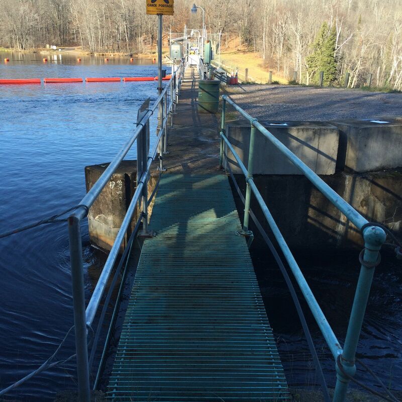
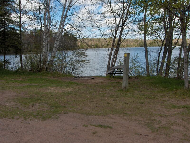
Access and Portage Options for Breakwater Falls and Pine River Dam WP146
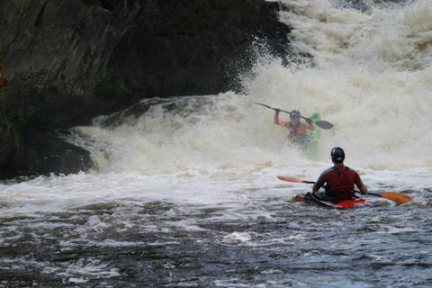
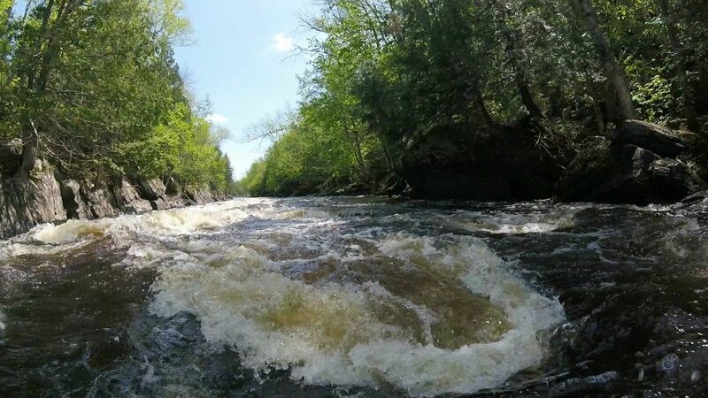
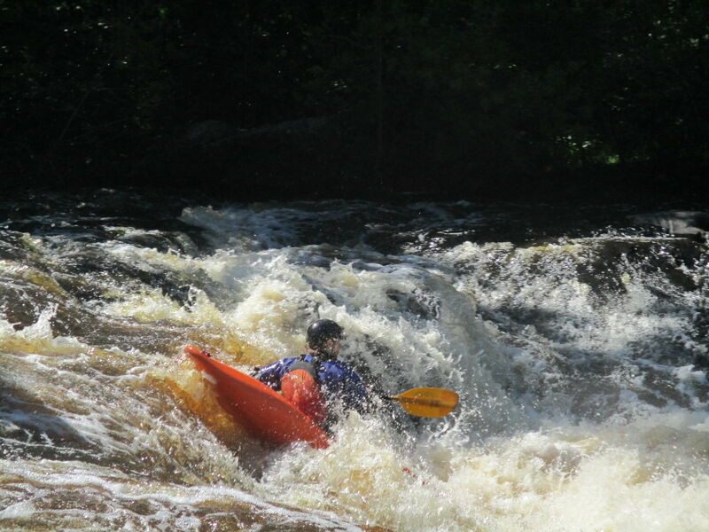
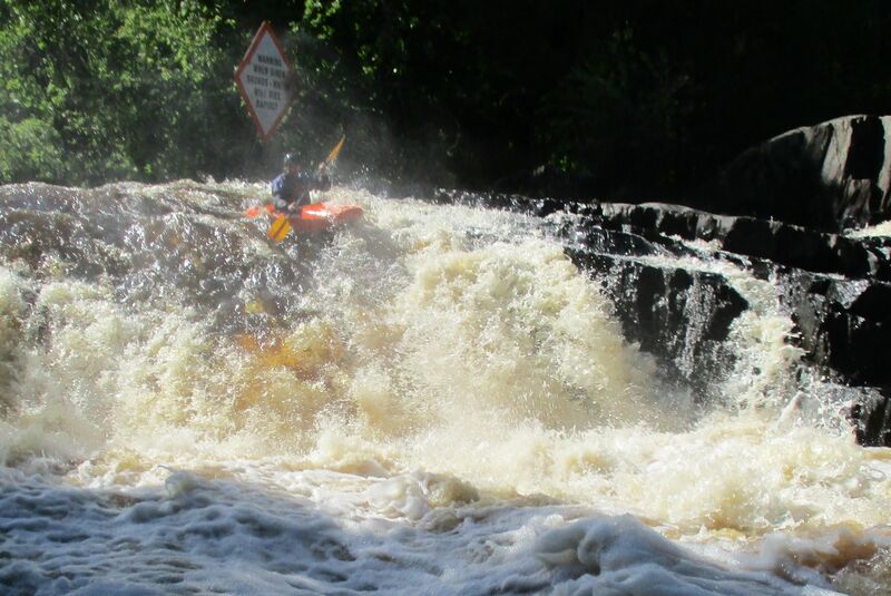
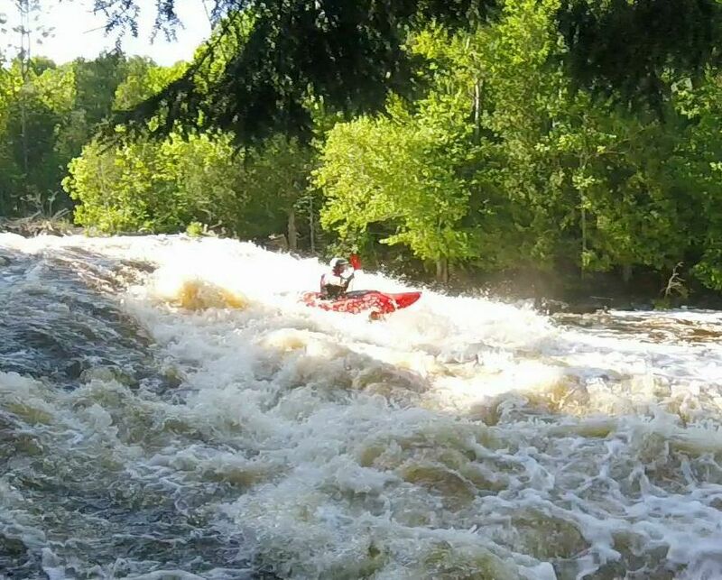
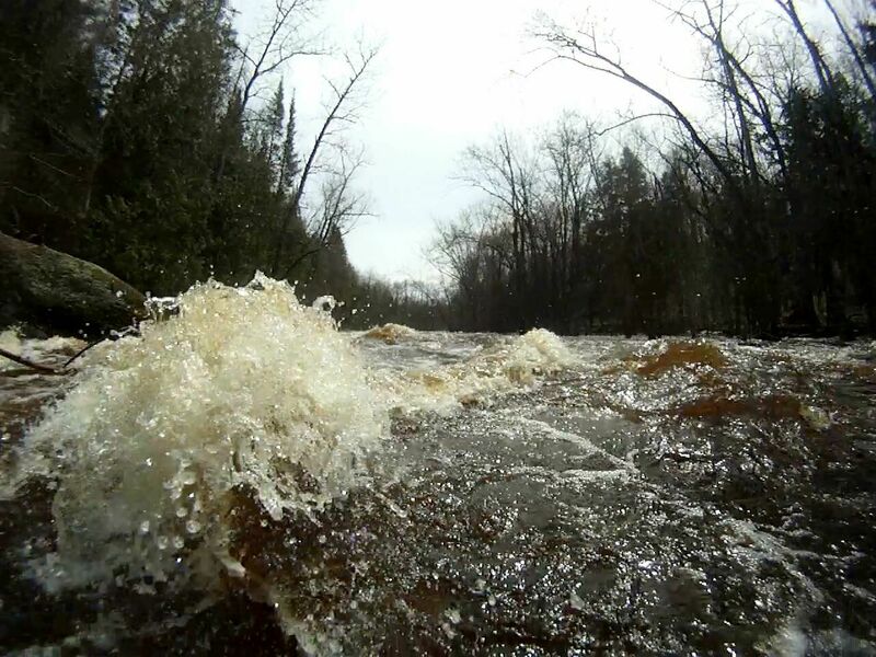
Pine - D) LaSalle Falls/Gorge and Breakwater Falls/Gorge (PnH or up to 2.4 miles) (WI)
Gauge Conditions
Likely good (low-to-moderate) flows for LaSalle; Likely too low for Pine 'Narrows'.
Photo
Description
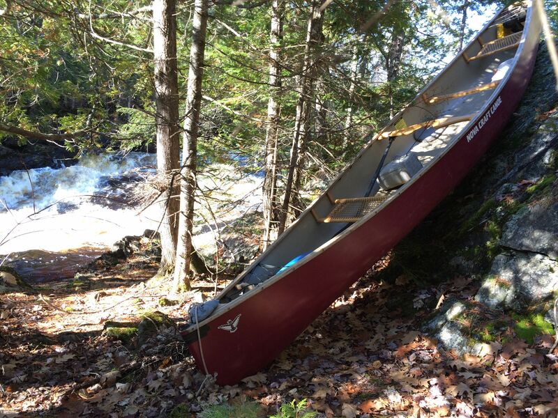
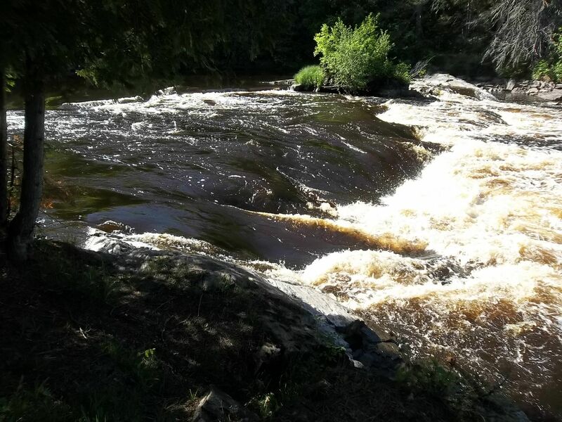
There is no establish put-in but the river-right bank below the Pine Dam is on WE Energies land and open to the public. A significant stretch of mowed lawn and riverside rock (45.828489, -88.254102) is available to choose where to launch from. The most common access to Breakwater Falls is to park near the generating station (45.826598, -88.248065, do not block utility access). The service road is publicly available for walk-in access to Breakwater Falls. There is a closed vehicle gate by the generating station but there is an open man-pass on the right end of the gate. Carry 1,800 feet up the gravel service road. Continue to the right, on the mowed slope down to the river when the service road goes left, up to the top of the dam. There is no easy access to put-in on river-left. The river’s flow over Breakwater will not be the same as at LaSalle (or what is posted by the USGS for the Pine River). The best indicator of flow over Breakwater Falls is at: https://accel.wisconsinpublicservice.com/environment/hydrodata.aspx
Portaging around the Pine Dam is the thru-paddlers route to Breakwater Falls. The portage trail is very clearly marked once you get there (45.828146, -88.255984) but it is in a small bay and coming downriver across the flowage, the location of the portage takeout cannot be seen. The takeout is on river-right just before the dam’s perimeter exclusion cable with orange buoys. The total portage trail is 2,700 feet but after the 600-foot trail through the woods there is a metal walking bridge over the diversion canal that delivers water to the penstock pipes/generating station. Coming off of the metal bridge, turn right and continue along the gravel service road. At the generating station, there is a closed vehicle gate with an open man-pass on the right end of the gate, leading directly to a parking area (and public outhouse). On the river-side of the parking area signage directs you down 52 wooden steps to a narrow landing. The put-in is in the very small eddy just below 3 metal stakes just off the shore. The takeout at County N is 2 miles downriver (mostly swifts) on river left immediately after the bridge. There is a large parking area and outhouse (during peak summer-use) at the County N landing. The USGS flow station is river-left just above the County N bridge. The visible staff gauge on the downriver middle support for the bridge is not what is reported on the USGS website as gauge height. The USGS gauge is not publicly viewable.
Location
Other Rapids on This Run (11)
 Rapid
N/A
Rapid
N/A
 Rapid
N/A
Rapid
N/A
 Rapid
IV+
Rapid
IV+
 Rapid
II+
Rapid
II+
 Rapid
II
Rapid
II
 Rapid
N/A
Rapid
N/A
 Rapid
IV+
Rapid
IV+
 Rapid
IV+
Rapid
IV+
 Rapid
IV+
Rapid
IV+
 Rapid
II+
Rapid
II+
 Rapid
N/A
Rapid
N/A
Current Conditions
5-Day Forecast
American Whitewater