Gauge Conditions
Runnable: ? – ? CFS
Approximate - nearest available gauge. Use as general reference only.
Data from American Whitewater & USGS
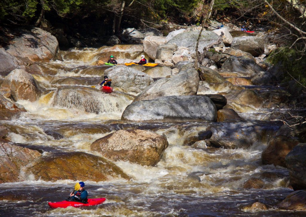
Photo
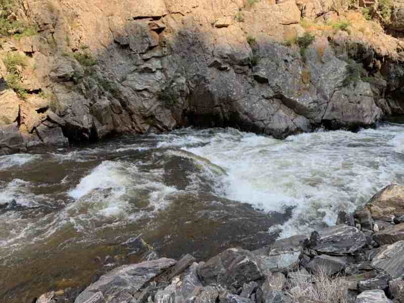
Photo courtesy of American Whitewater
Description
Coordinates of alternate access point: 46.7198, -89.6945
Elevation here is (roughly) 1021'.
It is about 6.25 miles to the next access point (our listed/recommended put-in) at about 872' elevation, for a total drop of ~149', and an average gradient of ~24FPM on this second upper section.
Location
Other Rapids on This Run (12)
 Rapid
N/A
Rapid
N/A
Access #1 (Uppermost Possible Putin -- S.Boundary Road/NF360)
 Rapid
N/A
Rapid
N/A
Rock Garden
 Rapid
N/A
Rapid
N/A
More rock garden
 Rapid
N/A
Rapid
N/A
Rocky Island
 Rapid
N/A
Rapid
N/A
North Country Trail Bridge
 Rapid
N/A
Rapid
N/A
Put In
 Rapid
N/A
Rapid
N/A
Confluence, Loggerhead Creek
 Rapid
N/A
Rapid
N/A
Ledge/wave/holes
 Rapid
N/A
Rapid
N/A
ledges
 Rapid
N/A
Rapid
N/A
Rocky Jumble
 Rapid
N/A
Rapid
N/A
Confluence, Big Iron
 Rapid
N/A
Rapid
N/A
Take Out
View Full Run
Forest Hwy.360 to White Pine (3.9 - 17 miles)
Big Iron, W.Br.
I-II(III)
15.0 mi
Current Conditions
5-Day Forecast
Whitewater data from
American Whitewater
American Whitewater