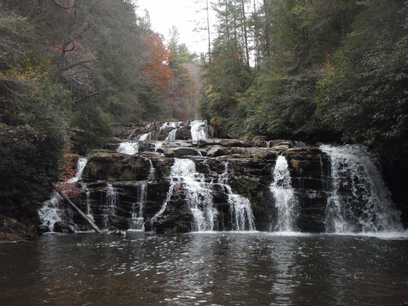
Bottom of 20-20
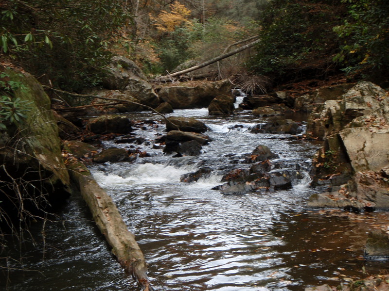
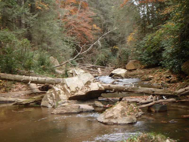
Stekoa Creek - 1- Upper: Highway 23 to Rickman Airfield Road (GA)
Gauge Conditions
Runnable: ? – ? CFS
Approximate - nearest available gauge. Use as general reference only.
Data from American Whitewater & USGS
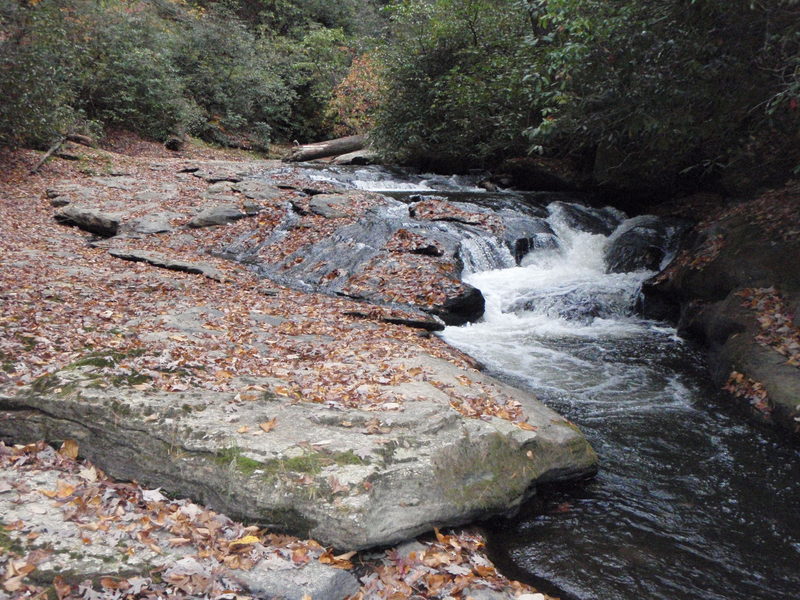
Photo
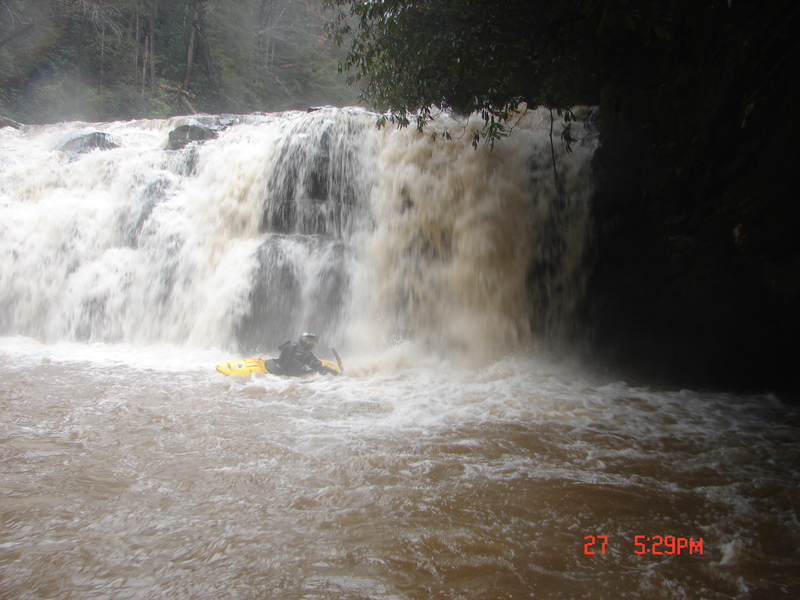
Photo courtesy of American Whitewater
Description
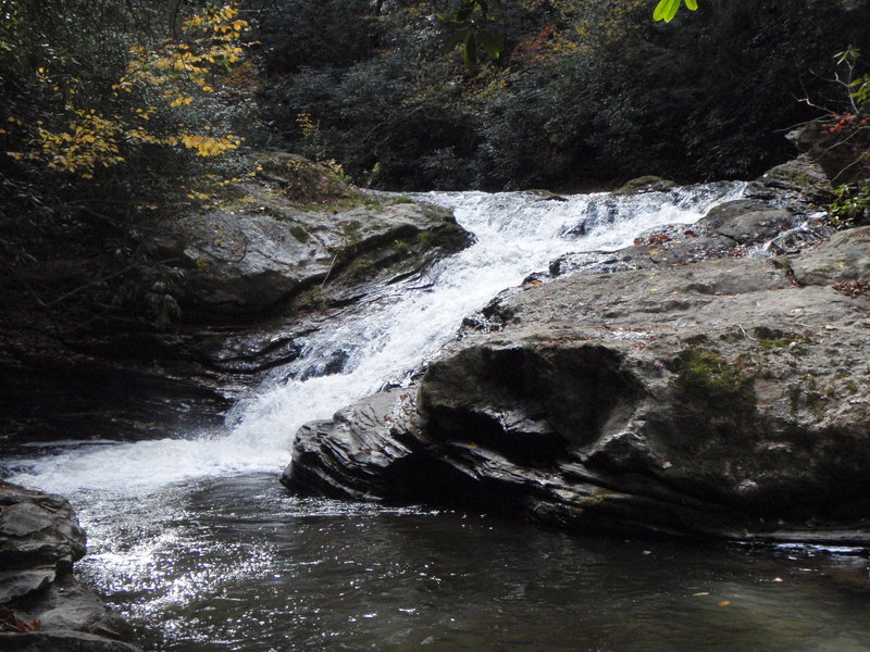
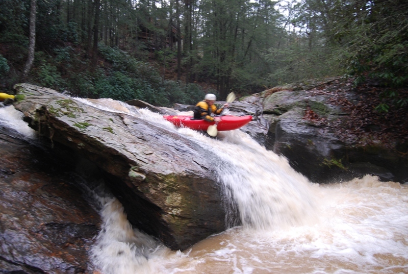
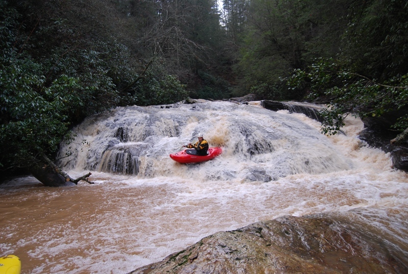
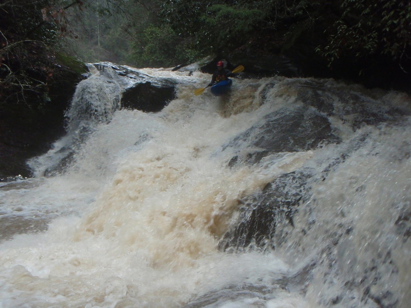
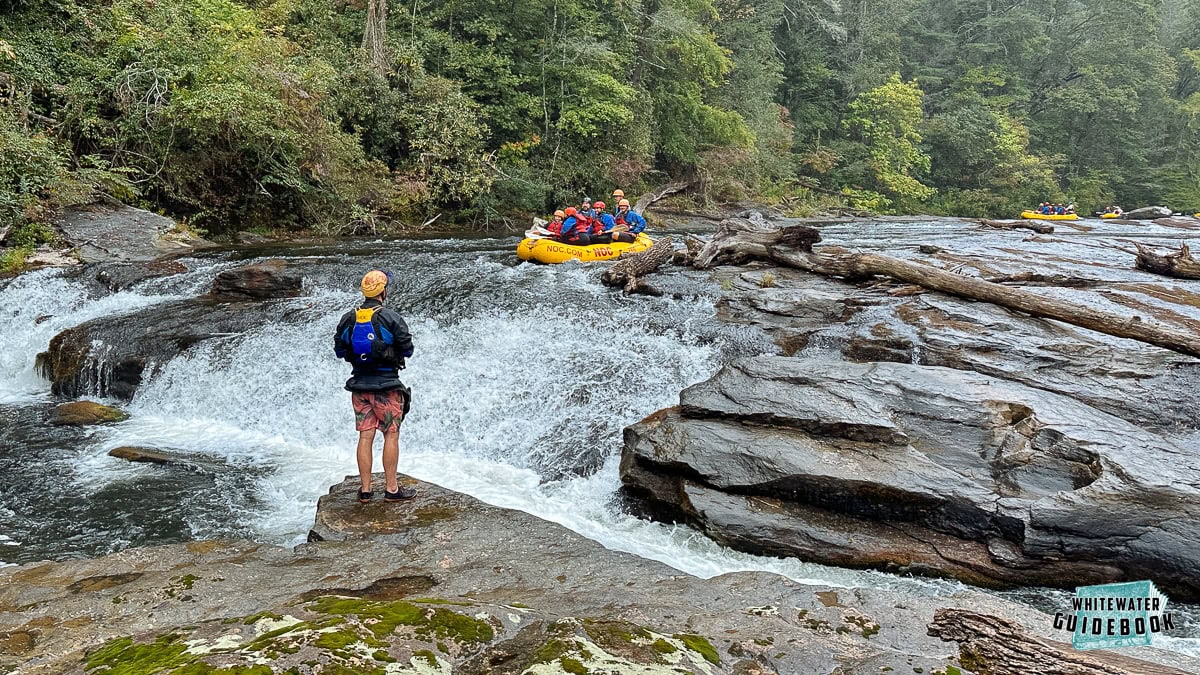
You can run the bottom 2/3 of the waterfall by portaging on the right and putting in after the first 15 feet or so and run the bottom 25 or so feet of the drop. The landing is only about 6-8 feet so don't pencil, it also has high water potential of a cave on the right.
Location
Other Rapids on This Run (12)
View Full Run
1- Upper: Highway 23 to Rickman Airfield Road
Stekoa Creek
IV-V+
1.9 mi
Current Conditions
5-Day Forecast
Whitewater data from
American Whitewater
American Whitewater