Gauge Conditions
Runnable: ? – ? CFS
Approximate - nearest available gauge. Use as general reference only.
Data from American Whitewater & USGS
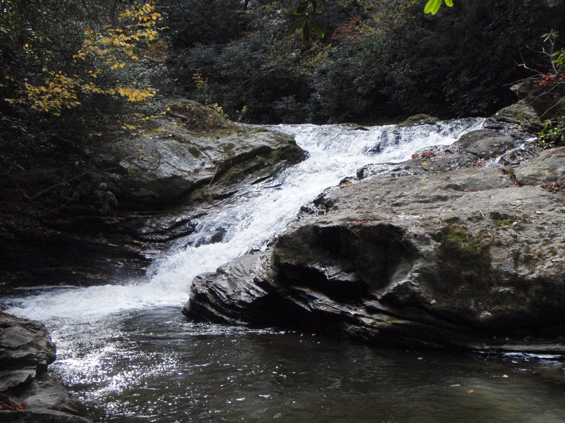
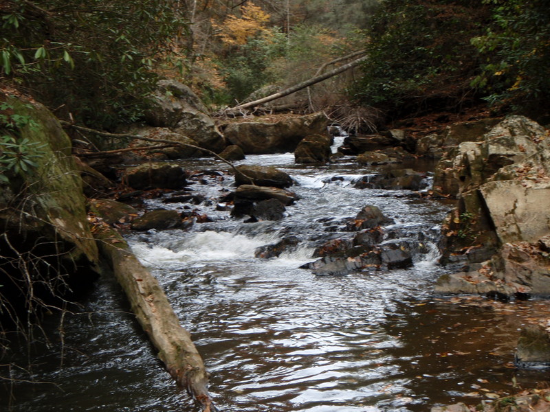
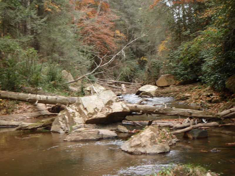
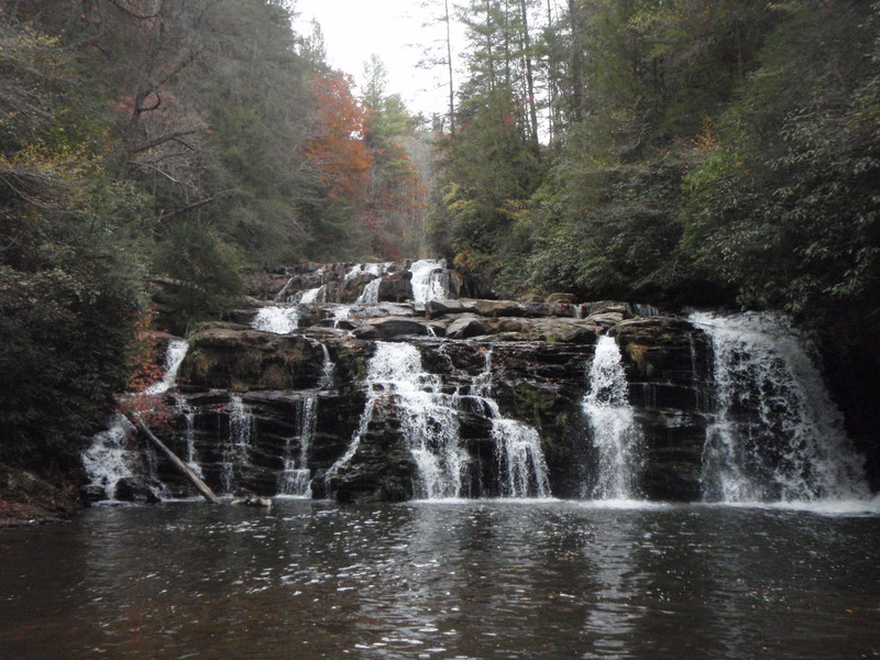
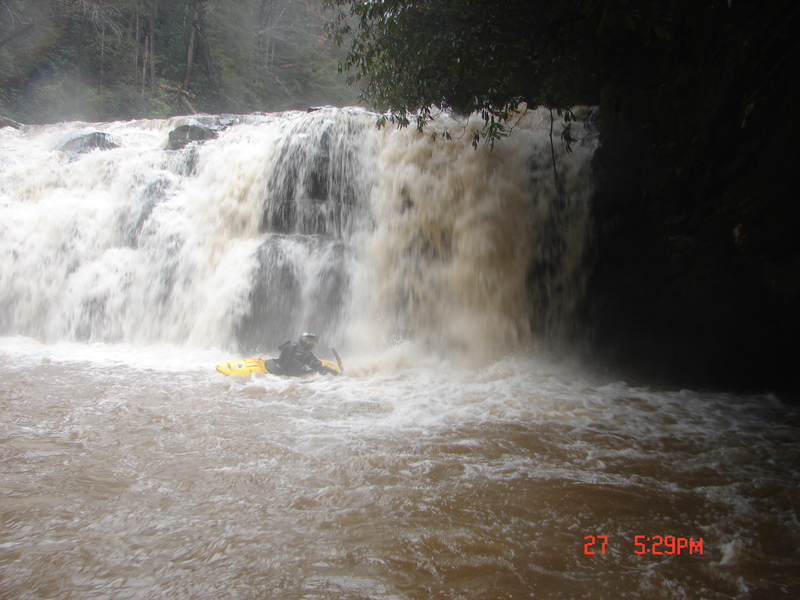
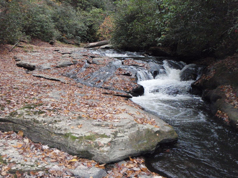
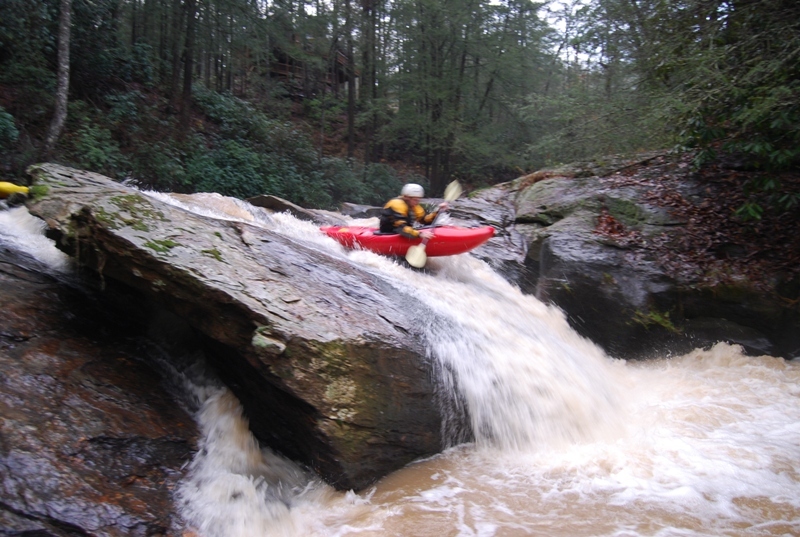
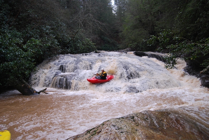
Photo
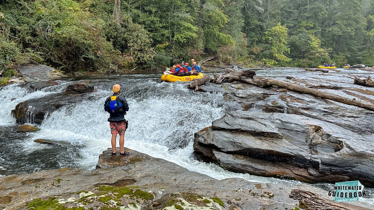
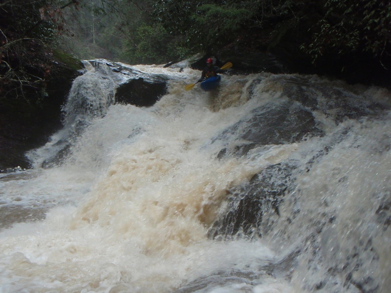
Photo courtesy of American Whitewater
Description
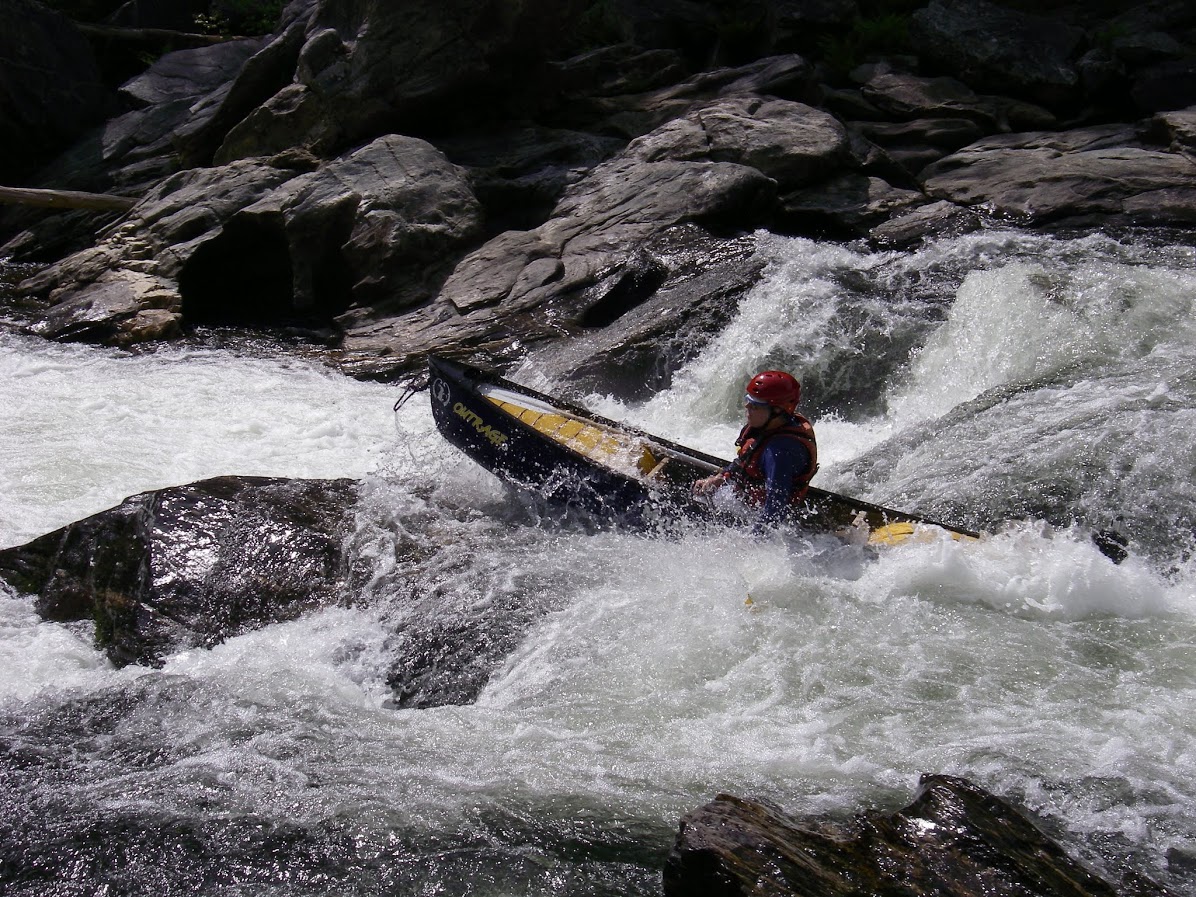
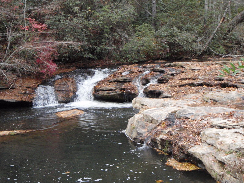
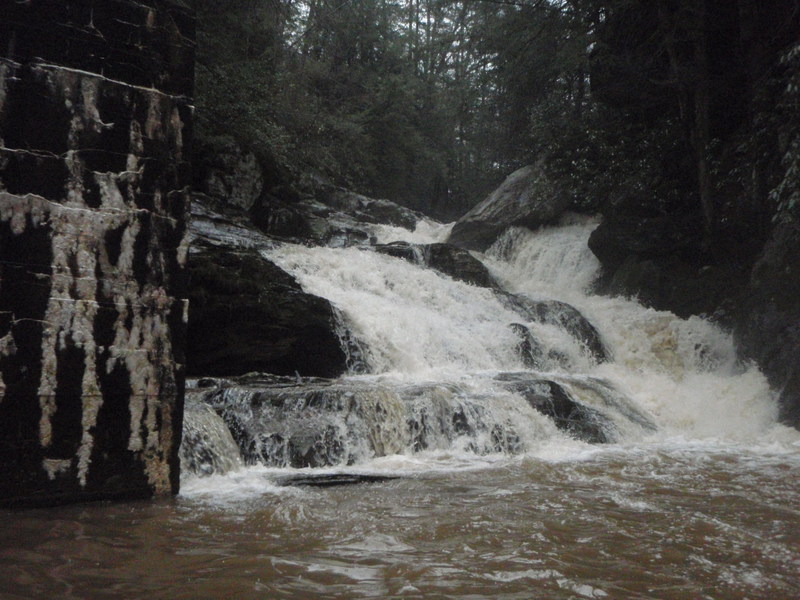
Take Out marks the conclusion of the upper Stekoa Creek run, typically signaling the end of the paddling section near Rickman Airfield Road. The rapid's characteristics are not well-documented, suggesting it may have minimal technical features or be more of a transition zone between river segments. Paddlers should scout and assess current conditions, as limited information exists about specific hazards or navigation requirements.
Location
Other Rapids on This Run (12)
View Full Run
1- Upper: Highway 23 to Rickman Airfield Road
Stekoa Creek
IV-V+
1.9 mi
Current Conditions
5-Day Forecast
Whitewater data from
American Whitewater
American Whitewater