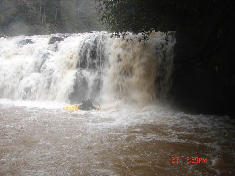
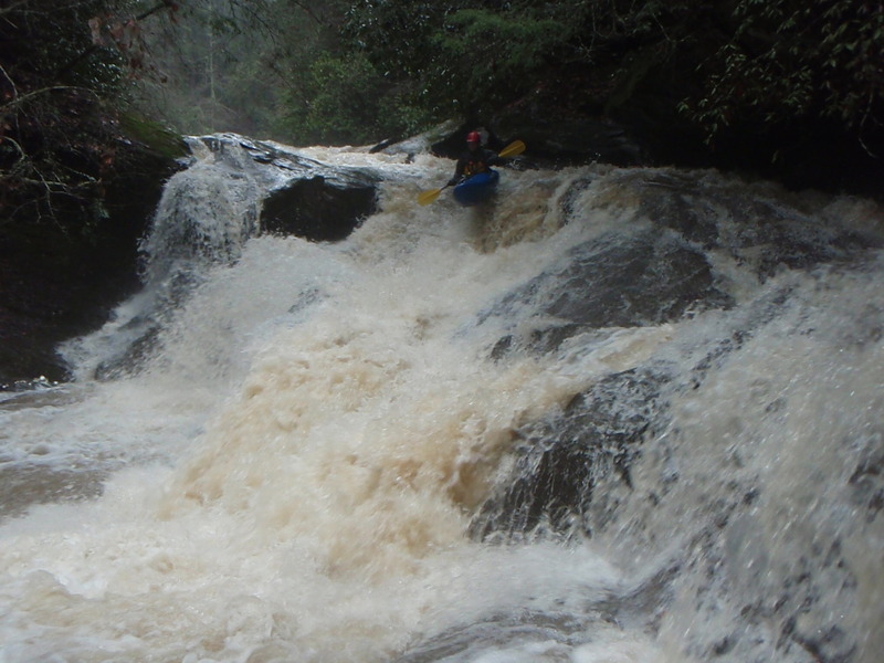
Mean Holly Tree
Stekoa Creek - 1- Upper: Highway 23 to Rickman Airfield Road (GA)
Gauge Conditions
Runnable: ? – ? CFS
Approximate - nearest available gauge. Use as general reference only.
Data from American Whitewater & USGS
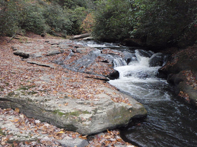
Photo
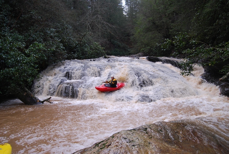
Photo courtesy of American Whitewater
Description
This one drops about 12 feet. It has bad sieves on the left side, and has a huge Holly tree on the right where a nice boof would be. The line is down the center, but there are still some hazards as there are some small potholes down the center. The hole on this one will probable get bad at high water.
Location
Other Rapids on This Run (12)


View Full Run
1- Upper: Highway 23 to Rickman Airfield Road
Stekoa Creek
IV-V+
1.9 mi
Hazard — Exercise extreme caution in this area.
Current Conditions
5-Day Forecast
Whitewater data from
American Whitewater
American Whitewater