Gauge Conditions
Data from American Whitewater & USGS


View Full Run
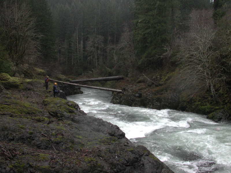
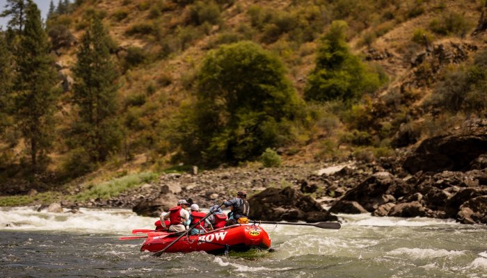
1 - West Fork to Pe Ell
Chehalis
III-IV
13.8 mi
Current Conditions
5-Day Forecast
Whitewater data from
American Whitewater
American Whitewater