Gauge Conditions
Data from American Whitewater & USGS
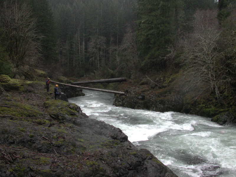
Photo

Photo courtesy of American Whitewater
Description
In Feb 2009 Lewis County PUD released a draft study for a water retention facility and hydropower project with a dam that would innundate a 9.6 mile portion of this run. Various iterations of this proposed dam have continued to persist.
Location


View Full Run
1 - West Fork to Pe Ell
Chehalis
III-IV
13.8 mi
Current Conditions
5-Day Forecast
Whitewater data from
American Whitewater
American Whitewater