First Pourover (AFJ: Athletic Fields Jump)
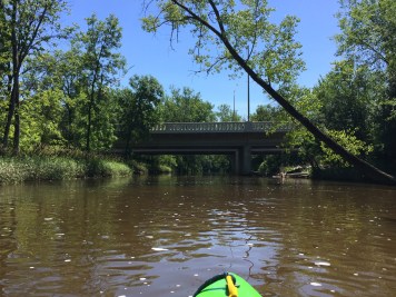
Honey Creek (Menomonee Trib) - Honey Creek Pkwy. to Menomonee R. (1.76+2.14 miles) (WI)
Gauge Conditions
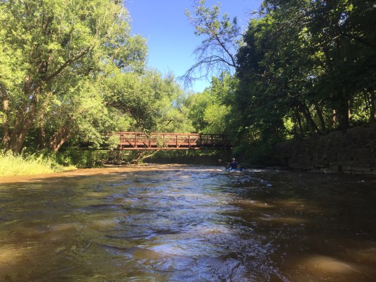
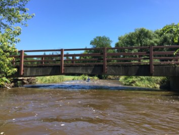
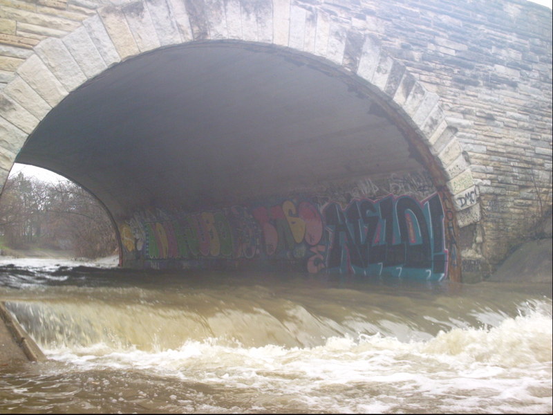
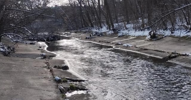
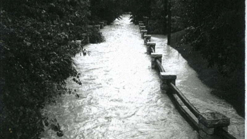
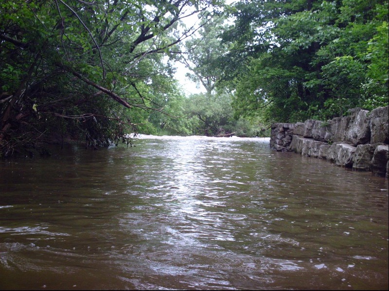
Photo
Description
This pourover is potentially the nastiest, hence one that I most often have portaged or just put in below it.
The cement at the base tilts back toward the drop, making a far 'keepier' hydraulic.
Scout this drop before putting in upstream! Get as close to water level as possible!
Look CLOSELY to notice that the backwash flows back toward the drop from 10-15' downstream.
You have to paddle 'uphill' to get out of this drop!
If you are unsuccessful at landing a 'boof', staying upright, and paddling out of the reversal, you will be caught in an awkward spot to get yourself and your boat out in the event of a swim. If you are unable to grab hold of your boat, it will flush a long way downstream unless you have a good posse of boaters (in boats and/or on shore) ready to wrangle it ashore!
If you are out of your boat as a result of ANY of the hydraulic jumps, you are likely to be able to stand in the backwash in cement ditch and walk out!
(NOTE: this is contrary to advice in virtually any other whitewater situations! Generally you DO NOT try to stand in swiftwater/whitewater until/unless you are in an eddy.)
Given that water quality is nasty, that this is a rather visible location, and you are generally wanting to be as 'invisible' as possible, this is not a spot you want to be standing around too long, setting safety, and having to do a rescue. All of which is to say, look carefully, make your decision, put-in (or portage), and get going.
BTW, the secondary name refers to athletic fields which flank the creek here (football and track fields river left, ball diamonds river right), though they are behind thickets of buckthorn and other trees and shrubs.
Location
Other Rapids on This Run (17)
 Rapid
N/A
Rapid
N/A
 Rapid
N/A
Rapid
N/A
 Waterfall
N/A
Waterfall
N/A
 Rapid
N/A
Rapid
N/A
 Hazard
II+
Hazard
II+
 Hazard
II+
Hazard
II+
 Hazard
II+
Hazard
II+
 Hazard
N/A
Hazard
N/A
 Rapid
II+
Rapid
II+
 Playspot
N/A
Playspot
N/A
 Waterfall
II+
Waterfall
II+
 Rapid
N/A
Rapid
N/A
 Hazard
N/A
Hazard
N/A
 Rapid
N/A
Rapid
N/A
 Rapid
N/A
Rapid
N/A
 Rapid
II+
Rapid
II+
 Rapid
N/A
Rapid
N/A
Current Conditions
5-Day Forecast
American Whitewater