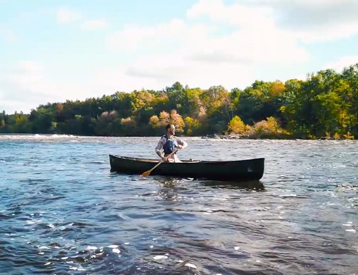
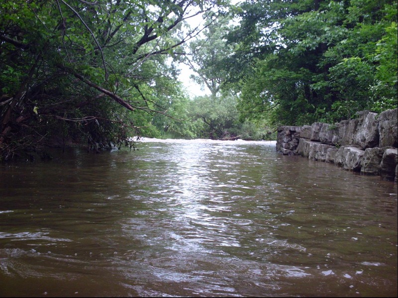
Put-in
Honey Creek (Menomonee Trib) - Honey Creek Pkwy. to Menomonee R. (1.76+2.14 miles) (WI)
Gauge Conditions
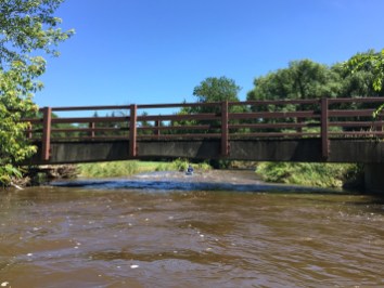
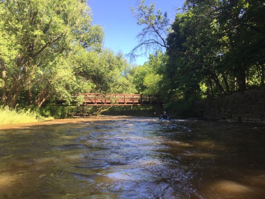
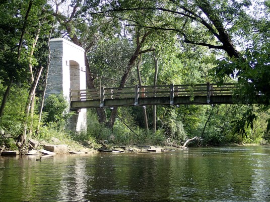
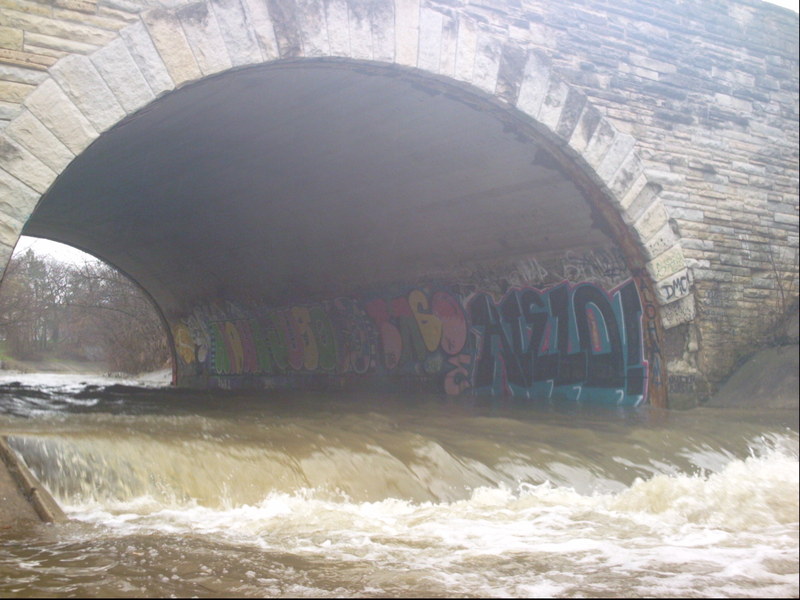
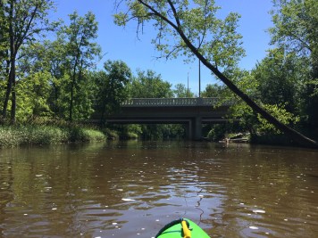
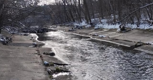
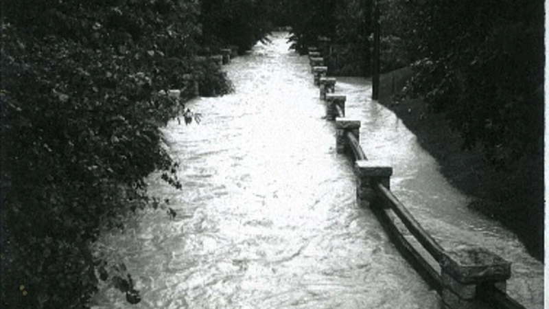
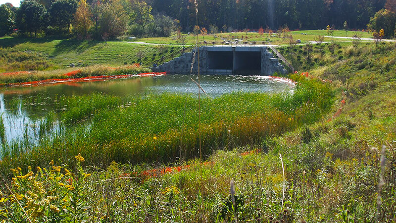
Photo
Description
Two options:
A) Park on W.Honey Creek Parkway (across from the second or third house east of 84th Street).
B) Park on S.Honey Creek Parkway (about 0.2 miles north of Bluemound Rd, 0.1 mile south of powerlines) (at the first jump, as listed below).
In either option, a 'commando style' put-in is recommended! Get into your boating gear at your take-out, so that (at your chosen put-in) you can as quickly as possible just grab your gear out of the vehicle, get into the woods, down the embankment, and put on before gathering too much attention.
If using option A, it is STRONGLY recommended to either scout the first ledge ahead of time OR to get out above it to scout. (It is generally possible at nearly all flows to 'beach' onto the sloping cement or into the shoreline brush to then walk down to the ledge.)
If using option B, you'll be right at this ledge, and can decide whether you're putting in above or below it.
Location
Other Rapids on This Run (17)
 Rapid
N/A
Rapid
N/A
 Rapid
N/A
Rapid
N/A
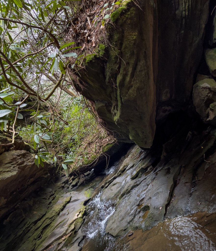
 Waterfall
N/A
Waterfall
N/A
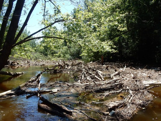
 Hazard
II+
Hazard
II+
 Hazard
II+
Hazard
II+
 Hazard
II+
Hazard
II+
 Hazard
II+
Hazard
II+
 Hazard
N/A
Hazard
N/A
 Rapid
II+
Rapid
II+
 Playspot
N/A
Playspot
N/A
 Waterfall
II+
Waterfall
II+
 Rapid
N/A
Rapid
N/A
 Hazard
N/A
Hazard
N/A
 Rapid
N/A
Rapid
N/A
 Rapid
N/A
Rapid
N/A
 Rapid
II+
Rapid
II+
 Rapid
N/A
Rapid
N/A
Current Conditions
5-Day Forecast
American Whitewater