Put-in
WI
Put In
Eau Claire (St.Croix trib.) - Johnson Rd. to former dam site (1.75-13.5 miles) (WI)
Gauge Conditions
Runnable: ? – ? CFS
Approximate - nearest available gauge. Use as general reference only.
Data from American Whitewater & USGS
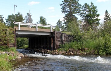
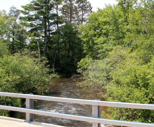
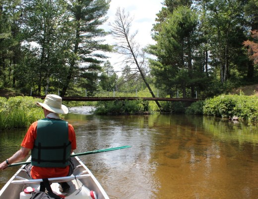
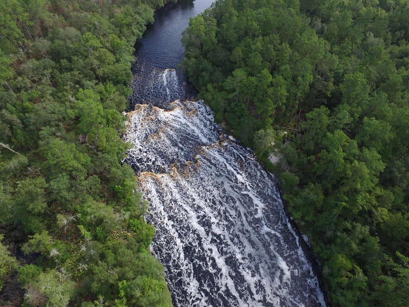
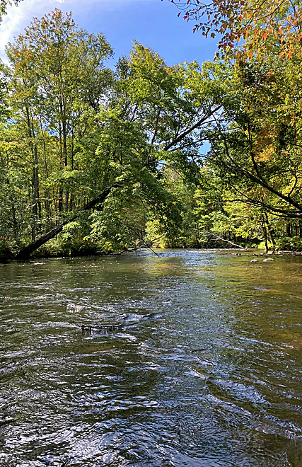
Photo
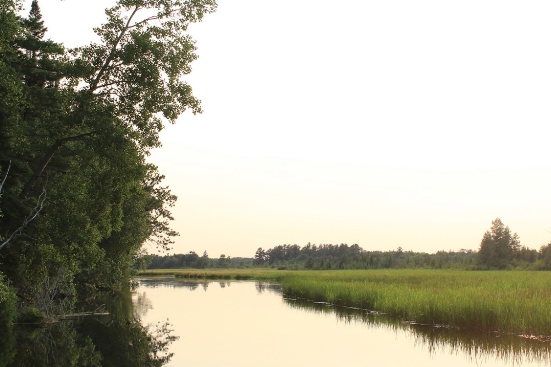
Photo courtesy of American Whitewater
Description
The Put In rapid marks the starting point for this Eau Claire River run, characterized by its initial entry point near Johnson Road. While specific details about the rapid's technical features are limited, paddlers should be prepared for potential shallow sections and submerged obstacles typical of a small tributary stream. Local knowledge and careful scouting are recommended due to the undefined difficulty rating.
Location
Other Rapids on This Run (13)
 Rapid
N/A
Rapid
N/A
Drainage: ~37 sq.mi.
Rapid
N/A
minor riffles?
 Rapid
N/A
Rapid
N/A
McCumber Road
 Rapid
N/A
Rapid
N/A
minor shoals/riffles?
 Rapid
N/A
Rapid
N/A
Shoals? Rips?
 Rapid
N/A
Rapid
N/A
S. Lidberg Bridge Road
 Rapid
N/A
Rapid
N/A
S.Lawler Bridge Road
 Rapid
N/A
Rapid
N/A
Islands/Braiding
 Playspot
N/A
Playspot
N/A
State Camp Bridge (Gordon Correctional Center)
 Rapid
N/A
Rapid
N/A
riffles? rips? Rapids?
 Rapid
N/A
Rapid
N/A
USGS sampling site: 140 sq.mi.
 Playspot
N/A
Playspot
N/A
Former Dam Site
 Rapid
N/A
Rapid
N/A
Alternate take-out
View Full Run
Johnson Rd. to former dam site (1.75-13.5 miles)
Eau Claire (St.Croix trib.)
I-II
12.6 mi
Current Conditions
5-Day Forecast
Whitewater data from
American Whitewater
American Whitewater