Gauge Conditions
Runnable: ? – ? CFS
Approximate - nearest available gauge. Use as general reference only.
Data from American Whitewater & USGS
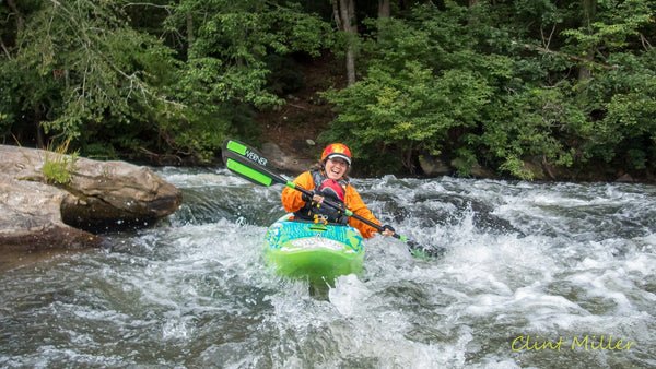
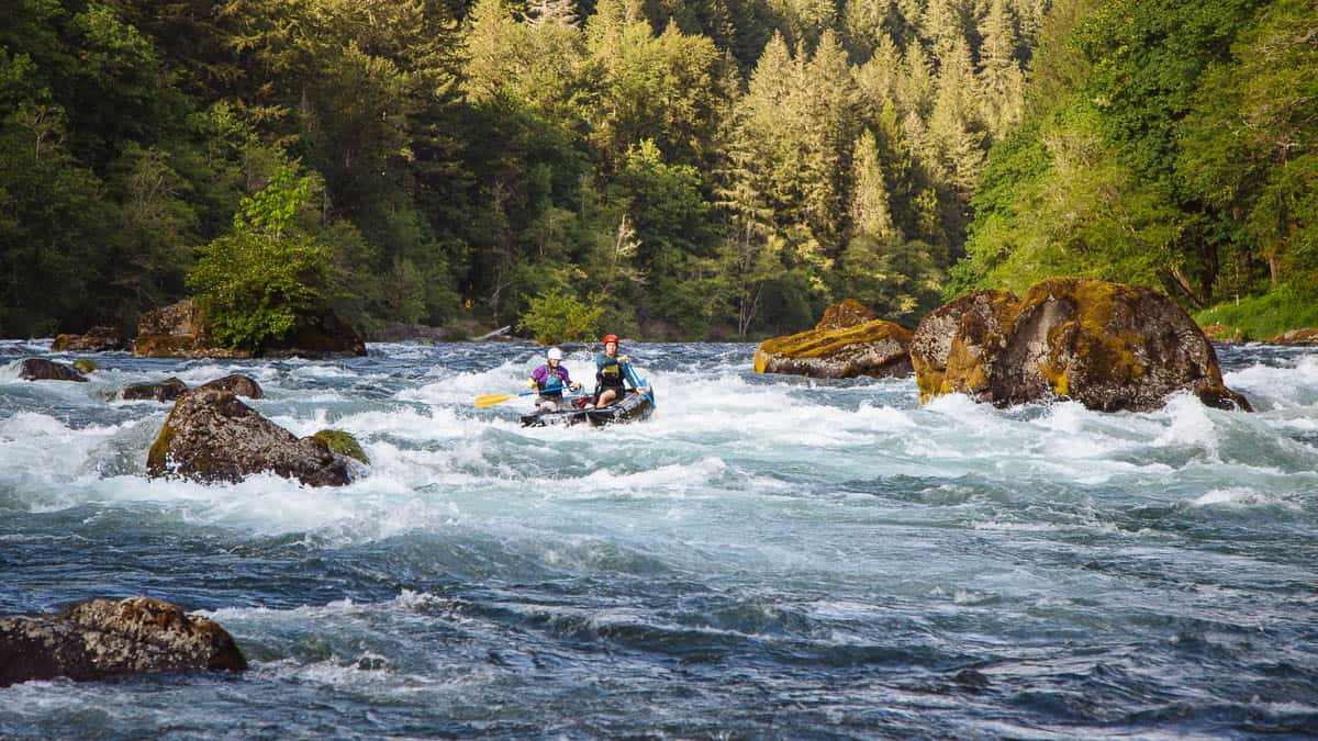
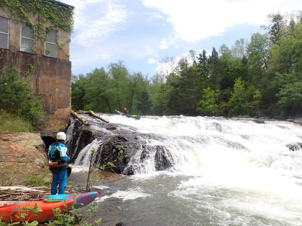
Photo

Photo courtesy of American Whitewater
Description
While details for Highway 41 rapid are limited, paddlers should be prepared for potential navigation challenges and variable water conditions typical of the Rapid River in Michigan's Upper Peninsula. Local knowledge and current river conditions are critical, as the stretch from N. Rock Road to Bay du Noc can present shifting water levels and potential obstacles that require careful route selection and skilled maneuvering.
Location


View Full Run
N.Rock Road/38th Road to Bay du Noc (PnP, or up to 27 miles)
Rapid
I-II(III)
25.0 mi
Current Conditions
5-Day Forecast
Whitewater data from
American Whitewater
American Whitewater