Gauge Conditions
Runnable: ? – ? CFS
Approximate - nearest available gauge. Use as general reference only.
Data from American Whitewater & USGS
Photo

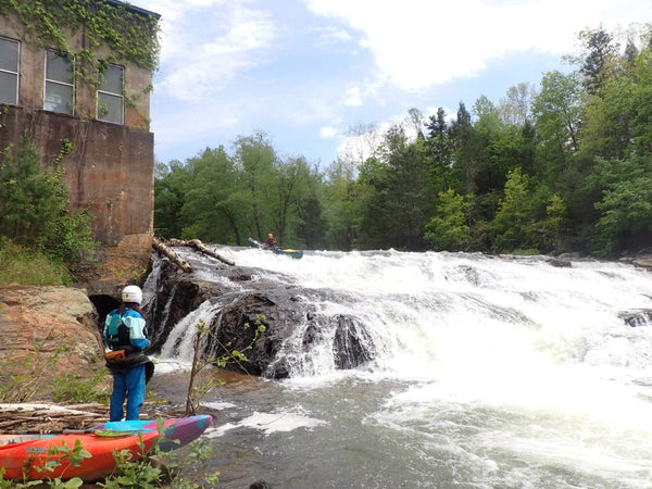
Photo courtesy of American Whitewater
Description
US2 on the Rapid River offers a relatively straightforward river passage with minimal technical challenges between N. Rock Road and Bay du Noc. The river section provides consistent flow and moderate gradient, though specific details about individual rapids or obstacles are limited in available documentation. Paddlers should consult local river guides or experienced locals for precise current conditions and navigational advice.
Location


View Full Run
N.Rock Road/38th Road to Bay du Noc (PnP, or up to 27 miles)
Rapid
I-II(III)
25.0 mi
Current Conditions
5-Day Forecast
Whitewater data from
American Whitewater
American Whitewater