Gauge Conditions
Runnable: ? – ? CFS
Approximate - nearest available gauge. Use as general reference only.
Data from American Whitewater & USGS
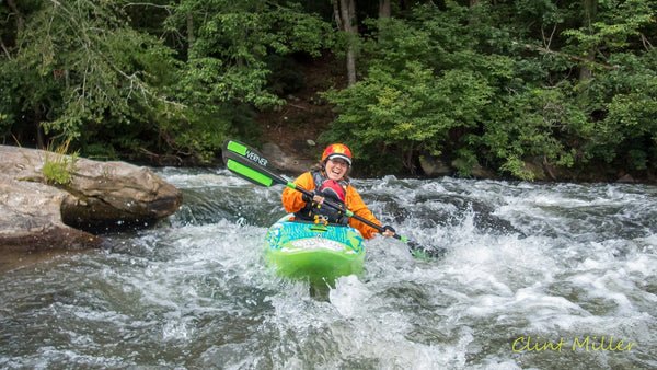
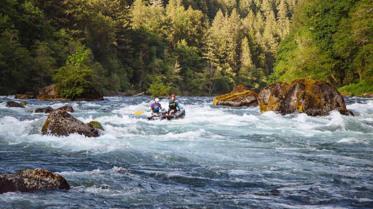
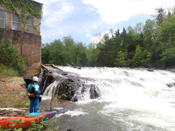
Photo
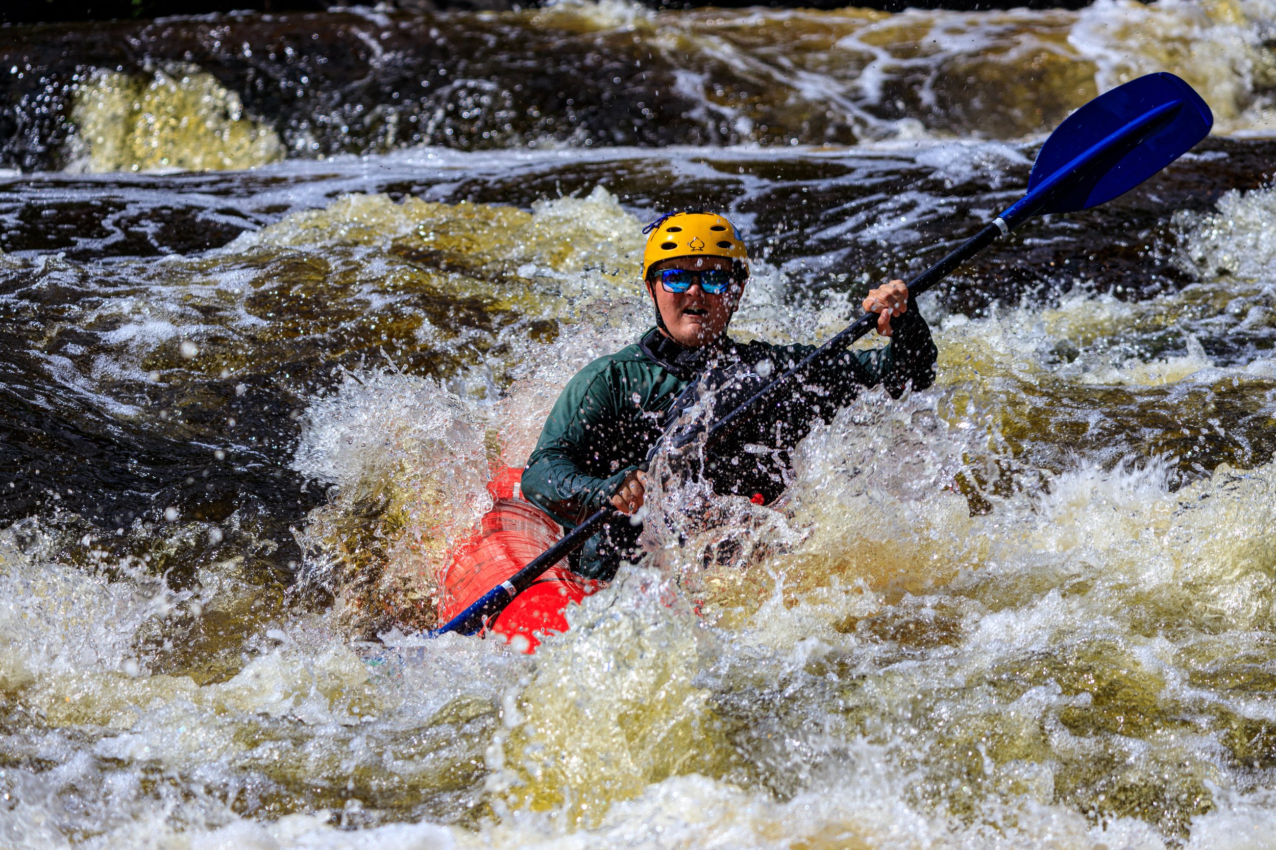
Photo courtesy of American Whitewater
Description
Take Out Rapid presents minimal technical challenges, with predominantly flat water and minimal gradient between N. Rock Road and Bay du Noc. While the section offers a straightforward paddle route, paddlers should remain alert for potential shallow areas and occasional debris, particularly during low water conditions. Navigation is generally straightforward, making this an accessible stretch for paddlers of varying skill levels.
Location


View Full Run
N.Rock Road/38th Road to Bay du Noc (PnP, or up to 27 miles)
Rapid
I-II(III)
25.0 mi
Current Conditions
5-Day Forecast
Whitewater data from
American Whitewater
American Whitewater