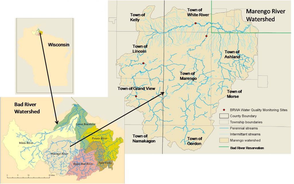
Indian Reservation Boundary
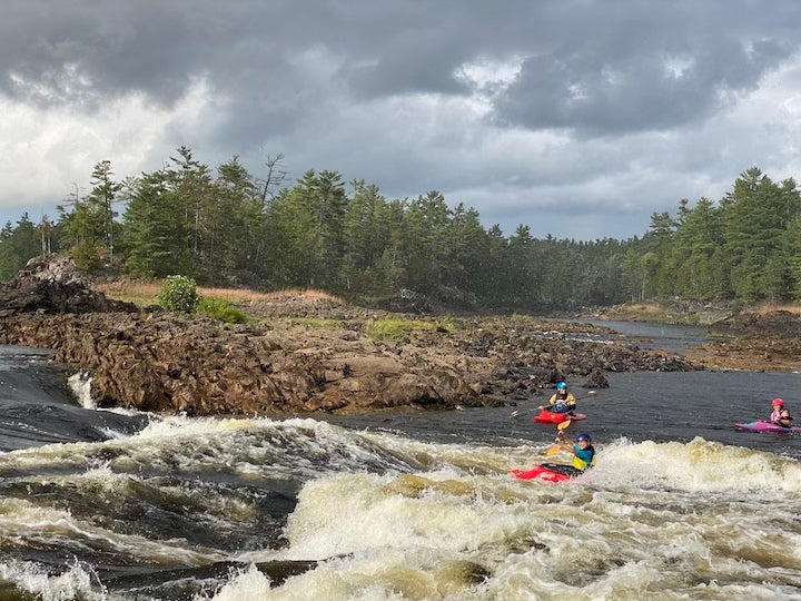
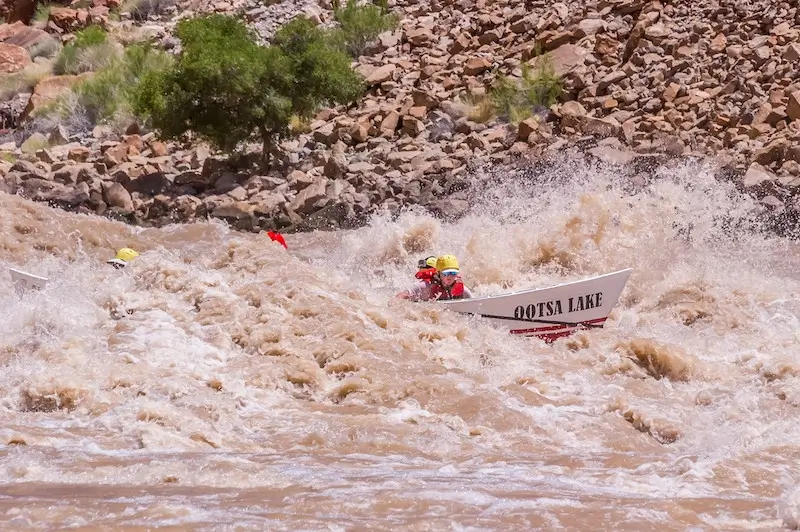
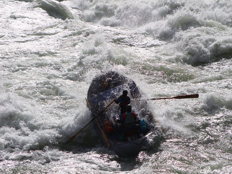
Bad - C) Devil's Gate to Elm Hoist Rd (4.3 to 19.5 miles) ** ACCESS ISSUES ** (WI)
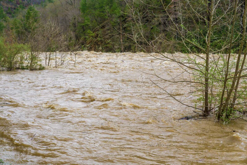
Gauge Conditions
Likely a bit low (or way low) for good whitewater.
Description
Proceding beyond this point should be done only if permission can be obtained from the Bad River Band of the Lake Superior Tribe of Chippewa Indians.
From their website (http://www.badriver-nsn.gov/history): "Wisconsin is what is known as a Public Law 280 State which gives criminal jurisdiction on Indian Reservations (except the Menominee) to the state. Civil jurisdiction such as hunting/fishing/gathering laws is a function of the tribe. The tribal court system oversees civil cases while criminal cases are overseen by state courts and enforced by state/county police officers."
Location
Other Rapids on This Run (18)
 Rapid
N/A
Rapid
N/A
 Rapid
N/A
Rapid
N/A
 Rapid
N/A
Rapid
N/A
Rapid
N/A
Rapid
N/A
Rapid
N/A
Rapid
N/A
 Rapid
N/A
Rapid
N/A
 Rapid
N/A
Rapid
N/A
Rapid
N/A
Rapid
N/A
 Rapid
N/A
Rapid
N/A
Rapid
N/A
Rapid
N/A
 Rapid
N/A
Rapid
N/A
 Rapid
N/A
Rapid
N/A
 Rapid
N/A
Rapid
N/A
 Rapid
N/A
Rapid
N/A
 Rapid
N/A
Rapid
N/A
 Rapid
N/A
Rapid
N/A
 Rapid
N/A
Rapid
N/A
 Rapid
N/A
Rapid
N/A
Current Conditions
5-Day Forecast
American Whitewater