Possble 'best' egress
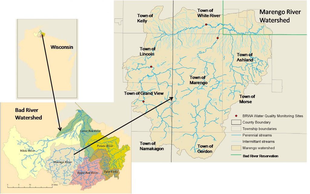
Bad - C) Devil's Gate to Elm Hoist Rd (4.3 to 19.5 miles) ** ACCESS ISSUES ** (WI)
Gauge Conditions
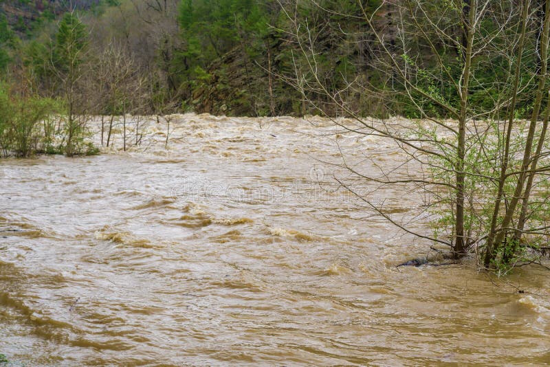
Likely a bit low (or way low) for good whitewater.
Photo
Description
There appears to be a double-track which heads off through the trees from Pufal Road at a slight bend, not far past the East-West stretch and a road/driveway splitting sharply to the right. From various maps, this double-track appears to be within public lands (part of the Copper Falls State Natural Area). It appears (assuming it is not gated or posted as off-limits for vehicles) one could follow it virtually to river's edge as the point of egress for the best action and shortest run of this stretch of river. (Strongly recommended to look at the river and be sure you can recognize this location, especially if vehicles will not be visible from on water!)
That said, there appear to be some additional light boulderbed rapids downstream of this location, with at least one brief area of likely more significant action (possible playspot), if the later listed access is available (possibly requiring permission from private property owner).
Location
Other Rapids on This Run (18)
 Rapid
N/A
Rapid
N/A
 Rapid
N/A
Rapid
N/A
 Rapid
N/A
Rapid
N/A
Rapid
N/A
Rapid
N/A
Rapid
N/A
Rapid
N/A
 Rapid
N/A
Rapid
N/A
 Rapid
N/A
Rapid
N/A
Rapid
N/A
Rapid
N/A
Rapid
N/A
Rapid
N/A
 Rapid
N/A
Rapid
N/A
 Rapid
N/A
Rapid
N/A
 Rapid
N/A
Rapid
N/A
 Rapid
N/A
Rapid
N/A
 Rapid
N/A
Rapid
N/A
 Rapid
N/A
Rapid
N/A
 Rapid
N/A
Rapid
N/A
 Rapid
N/A
Rapid
N/A
Current Conditions
5-Day Forecast
American Whitewater