Put-in
MI
Put In
Sturgeon, W.Br. (Menominee R. trib.) - Metropolitan to Calumet Mine Road (5.77 miles) (MI)
Gauge Conditions
Runnable: ? – ? CFS
Approximate - nearest available gauge. Use as general reference only.
Data from American Whitewater & USGS
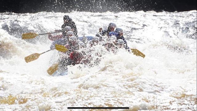
Photo
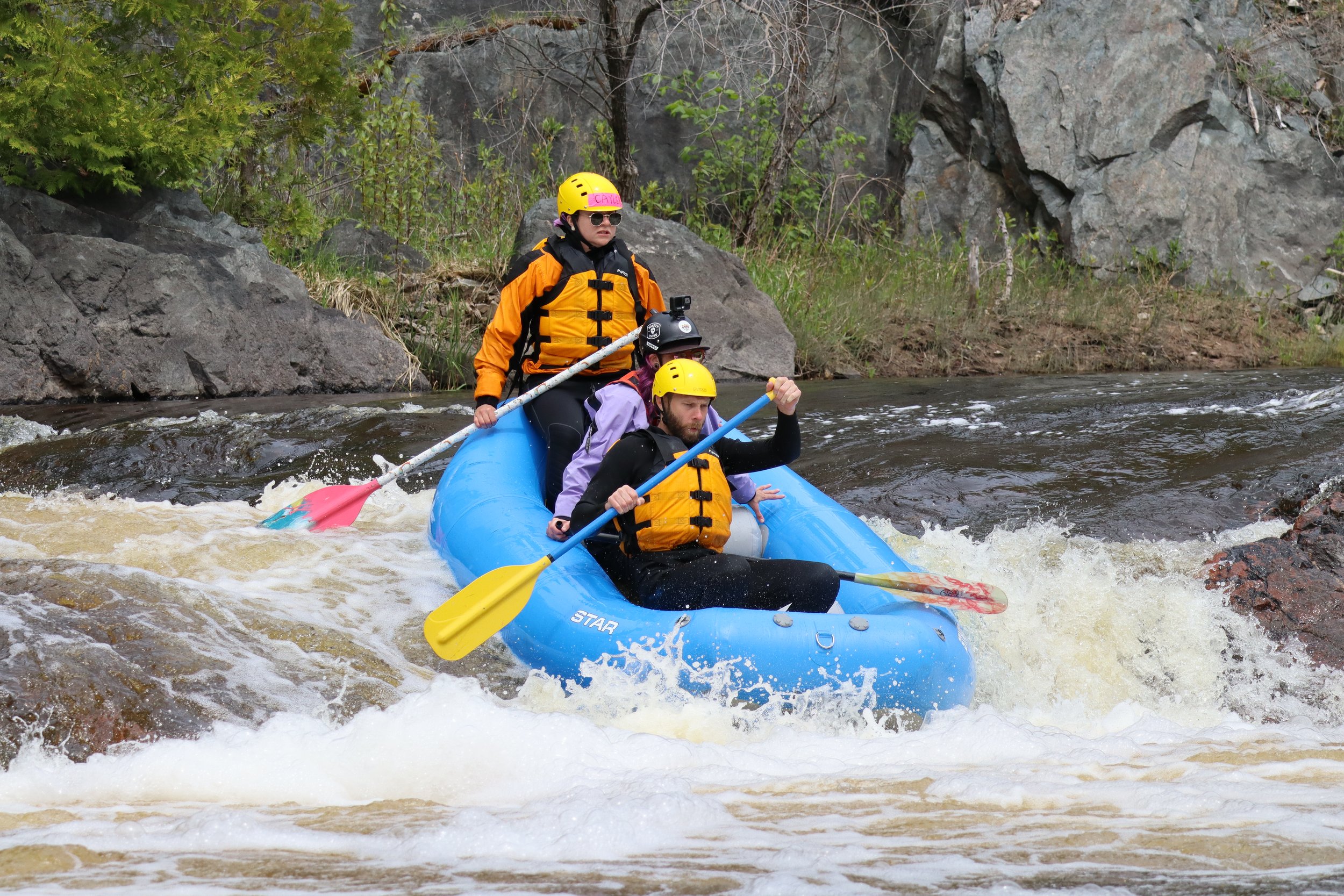
Photo courtesy of American Whitewater
Description
Put In rapid on the West Branch Sturgeon appears to be an uncharted or minimally documented section, with limited available information about its specific characteristics. Local paddlers should expect potential unmarked hazards and carefully scout the rapid's conditions before attempting a run, particularly given the undefined difficulty rating and lack of detailed route information.
Location
Other Rapids on This Run (10)
Rapid
N/A
USGS sampling site
 Waterfall
N/A
Waterfall
N/A
Head of Gradient
 Waterfall
IV
Waterfall
IV
Upper Mill Pond Falls
 Waterfall
III+
Waterfall
III+
Lower Mill Pond Falls
Rapid
N/A
Camp Suicide Road
Rapid
N/A
Unnamed (truck trail?) road
Rapid
N/A
*Possible* minor rapids
Rapid
N/A
Perhaps random rips
Rapid
N/A
*Possible* rapids
 Rapid
N/A
Rapid
N/A
Take Out
View Full Run
Metropolitan to Calumet Mine Road (5.77 miles)
Sturgeon, W.Br. (Menominee R. trib.)
II-IV
5.1 mi
Current Conditions
5-Day Forecast
Whitewater data from
American Whitewater
American Whitewater