Take-out
GA
Take-out #2, on the Flint River, 0.8 miles downstream of the confluence
Lazer Creek - Sunrise/Hendricks Road to Flint (GA)
Gauge Conditions
Runnable: ? – ? CFS
Approximate - nearest available gauge. Use as general reference only.
Data from American Whitewater & USGS
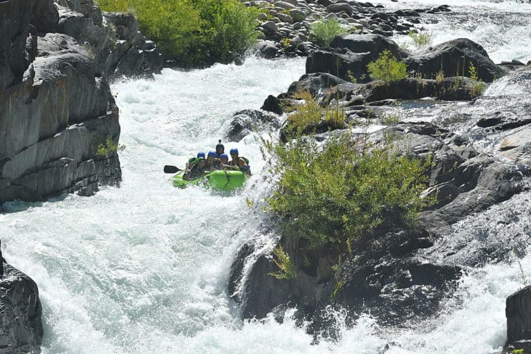
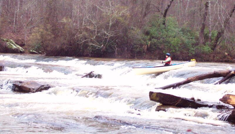
Photo
Photo courtesy of American Whitewater
Description
The second of the two developed DNR take-outs, this one is on the Flint 0.8 miles downstream of confluence. It adds one mile of brisk smoothwater paddling beyond Take Out #1 and saves one mile of driving.
Location
Other Rapids on This Run (7)
View Full Run
Sunrise/Hendricks Road to Flint
Lazer Creek
I-II
9.9 mi
Current Conditions
5-Day Forecast
Whitewater data from
American Whitewater
American Whitewater