Hazard
TX
RM 1320 Low-Water Crossing
North Grape Creek (current beta needed) - RM 1631 to Sandy (14.7 miles) (TX)
Gauge Conditions
Data from American Whitewater & USGS
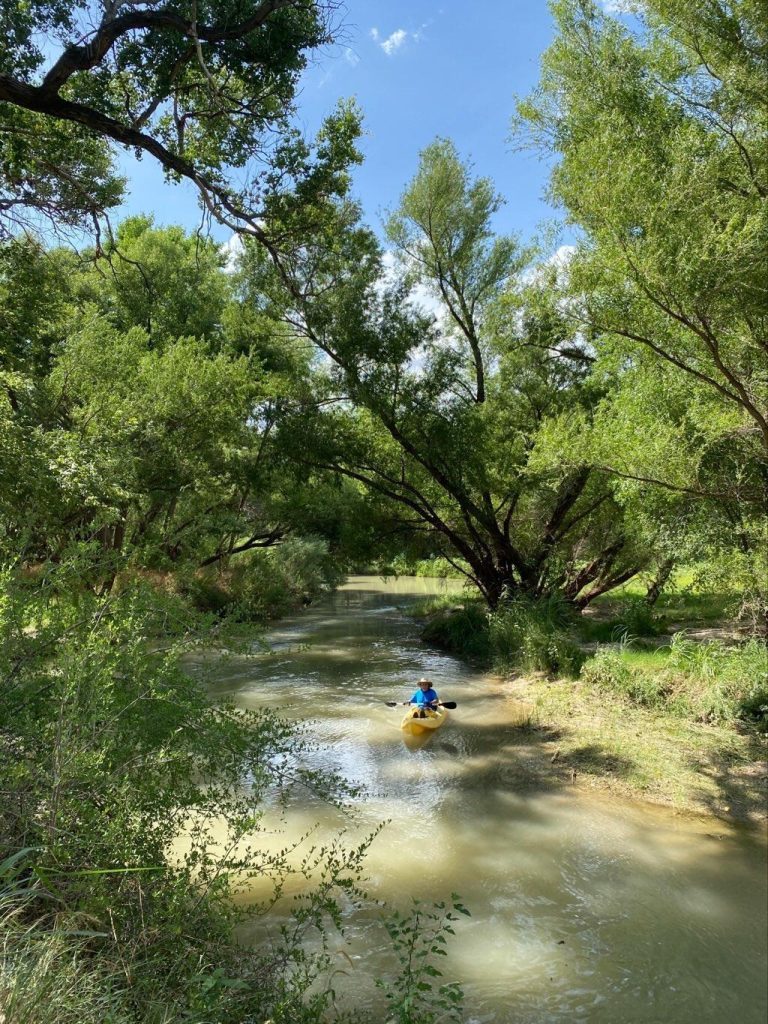
Photo

Photo courtesy of American Whitewater
Description
May create a hazard at certain levels.
NOTE: It is also possible to paddle North Grape out into the Pedernales, which adds 2 miles to this run. However, because of a 15-foot dam near the mouth of the creek, there are few rapids on this stretch. Also, the Pedernales is likely to be above recommended if North Grape is runnable.
Location

View Full Run
RM 1631 to Sandy (14.7 miles)
North Grape Creek (current beta needed)
II-III+
15.0 mi
Hazard — Exercise extreme caution in this area.
Current Conditions
5-Day Forecast
Whitewater data from
American Whitewater
American Whitewater