Hazard
TX
Sandy School Rd (Low-Water Crossing)
North Grape Creek (current beta needed) - RM 1631 to Sandy (14.7 miles) (TX)
Gauge Conditions
Data from American Whitewater & USGS
Photo

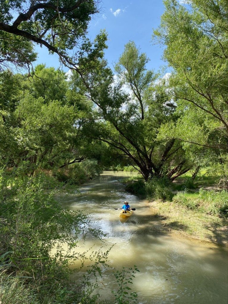
Photo courtesy of American Whitewater
Description
At low water, the Sandy School Rd crossing presents a potential navigational challenge with submerged infrastructure and possible debris accumulation. Paddlers should scout carefully and be prepared for potential pinning hazards or required portage, as the low-water crossing may create unexpected hydraulic features depending on flow conditions.
Location

View Full Run
RM 1631 to Sandy (14.7 miles)
North Grape Creek (current beta needed)
II-III+
15.0 mi
Hazard — Exercise extreme caution in this area.
Current Conditions
5-Day Forecast
Whitewater data from
American Whitewater
American Whitewater