RM 1631 Low-Water Crossing (Willow Creek)
North Grape Creek (current beta needed) - RM 1631 to Sandy (14.7 miles) (TX)
Gauge Conditions
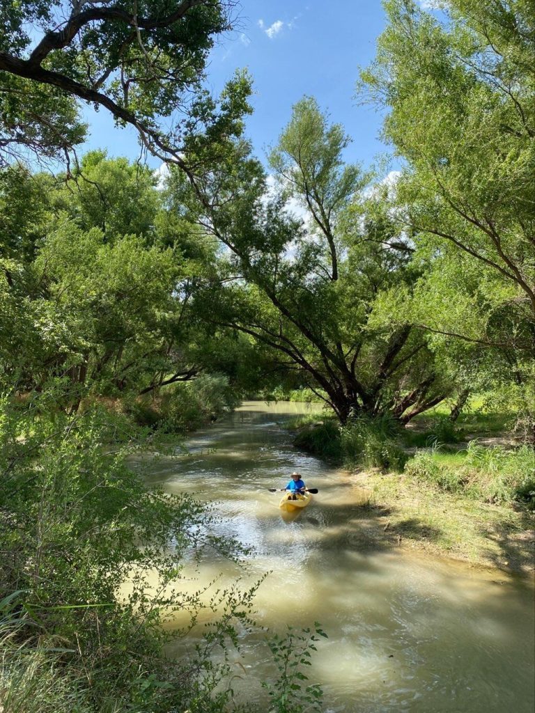
Description
The listed put-in is along Willow Creek, not N. Grape Creek. The book mentions that the navigability status of both creeks above the confluence is "questionable" and that the only "hassle-free" way to run N. Grape is to get permission from a landowner and put in below the confluence. GIS measurements show that Willow Creek does appear to meet the requirements for statutory navigability at least as far up as the RM 1631 crossing, so it is at least less questionable than the upper reach of N. Grape. Willow Creek is also a more direct and remote route to the confluence. However, please note that statutory navigability is no guarantee of freedom from barbed wire fences and irate landowners.
Location


Current Conditions
5-Day Forecast
American Whitewater