Rapid
TX
Willow Creek / N. Grape Creek Confluence
North Grape Creek (current beta needed) - RM 1631 to Sandy (14.7 miles) (TX)
Gauge Conditions
Data from American Whitewater & USGS
Photo
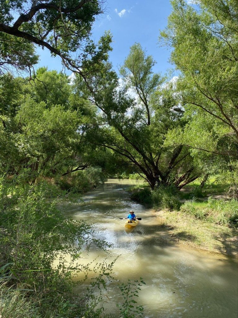
Photo courtesy of American Whitewater
Description
The confluence of Willow Creek and North Grape Creek creates a complex hydraulic zone with potential for shifting debris and unpredictable water flow. Paddlers should approach with caution, carefully scouting for hidden obstacles, submerged rocks, and potential strainers that could develop at this river junction. The rapid's character and difficulty likely vary significantly with water levels, requiring current local beta and a flexible navigation strategy.
Location


View Full Run
RM 1631 to Sandy (14.7 miles)
North Grape Creek (current beta needed)
II-III+
15.0 mi
Current Conditions
5-Day Forecast
Whitewater data from
American Whitewater
American Whitewater