Gauge Conditions
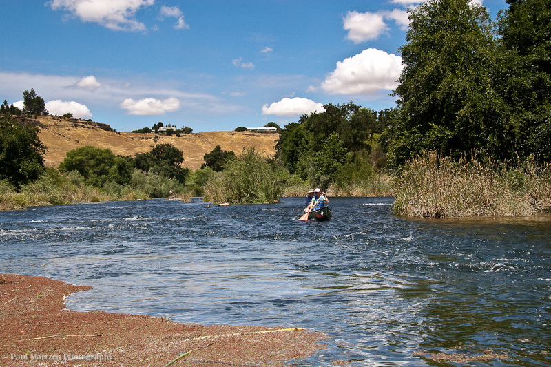
Good for canoes and beginners.
CDEC Flow Data California
Photo
Description
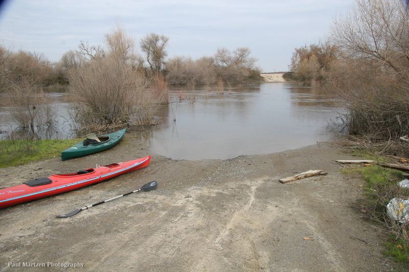
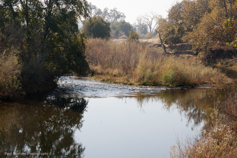
San Mateo Avenue fords the river just upstream of the tailwaters of Mendota Pool. Now that the river is no longer dry, it is not possible to ford, but it is a good launching or take out spot. The road at the very end is not county maintained (has lots of potholes) and may be private. It is regularly used by the public, but there is a gate which could potentially be closed at times.
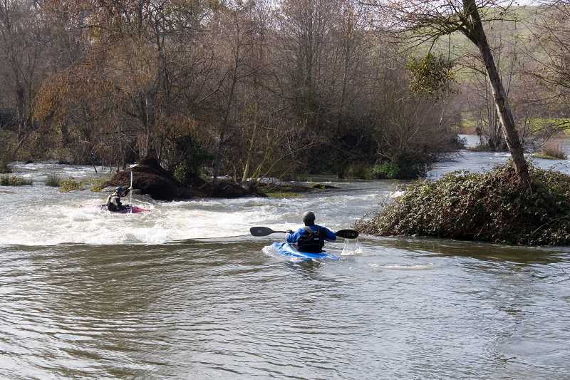
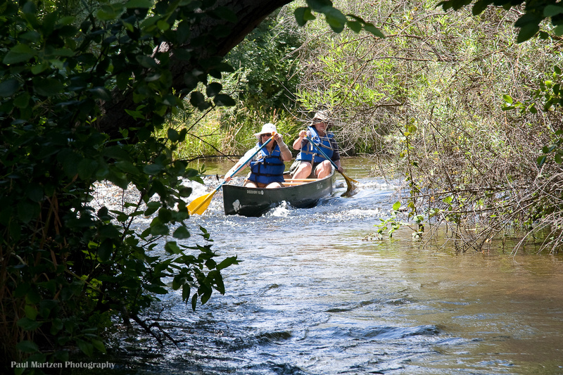
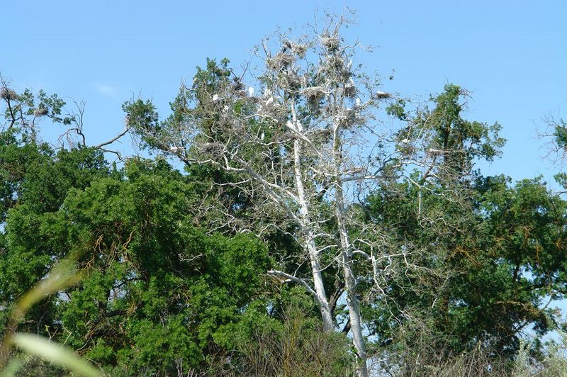
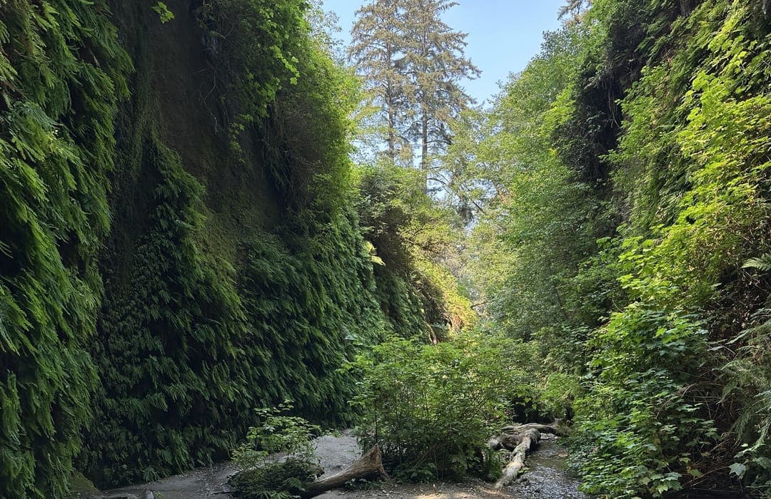
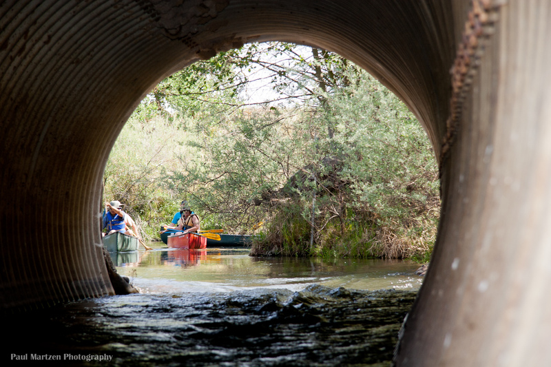
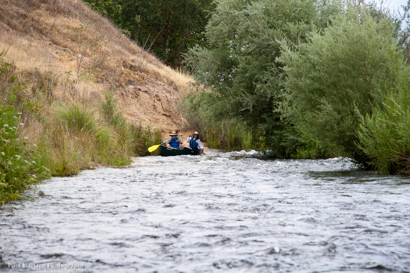
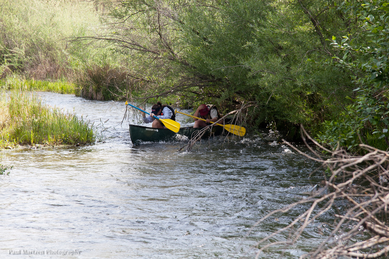
There is a fair bit of trees and brush in the channel in this area, so careful manuvering is required in several areas. There is one area in particular (in 2010), about a half mile downstream that was very tight and awkward, requiring a sharp right turn next to an overhanging branch.
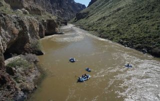
With 860 cfs, two of us paddled a canoe 4 miles upstream to the bifurcation in 2.5 hours. We came back in 1 hour.
With 950 cfs it took two of us less than 3 hours to leisurely paddle the 7 miles to Mendota dam from here.
Location
Other Rapids on This Run (20)
 Rapid
N/A
Rapid
N/A
 Hazard
I
Hazard
I
 Playspot
I
Playspot
I
 Playspot
II
Playspot
II
 Rapid
I
Rapid
I
 Rapid
I
Rapid
I
 Rapid
I
Rapid
I
 Rapid
N/A
Rapid
N/A
 Hazard
I
Hazard
I
 Rapid
I
Rapid
I
 Hazard
I
Hazard
I
 Hazard
I
Hazard
I
 Rapid
I
Rapid
I
 Rapid
I
Rapid
I
 Rapid
N/A
Rapid
N/A
 Rapid
I
Rapid
I
Current Conditions
5-Day Forecast
American Whitewater