Gauge Conditions
Runnable: ? – ? CFS
Approximate - nearest available gauge. Use as general reference only.
Data from American Whitewater & USGS
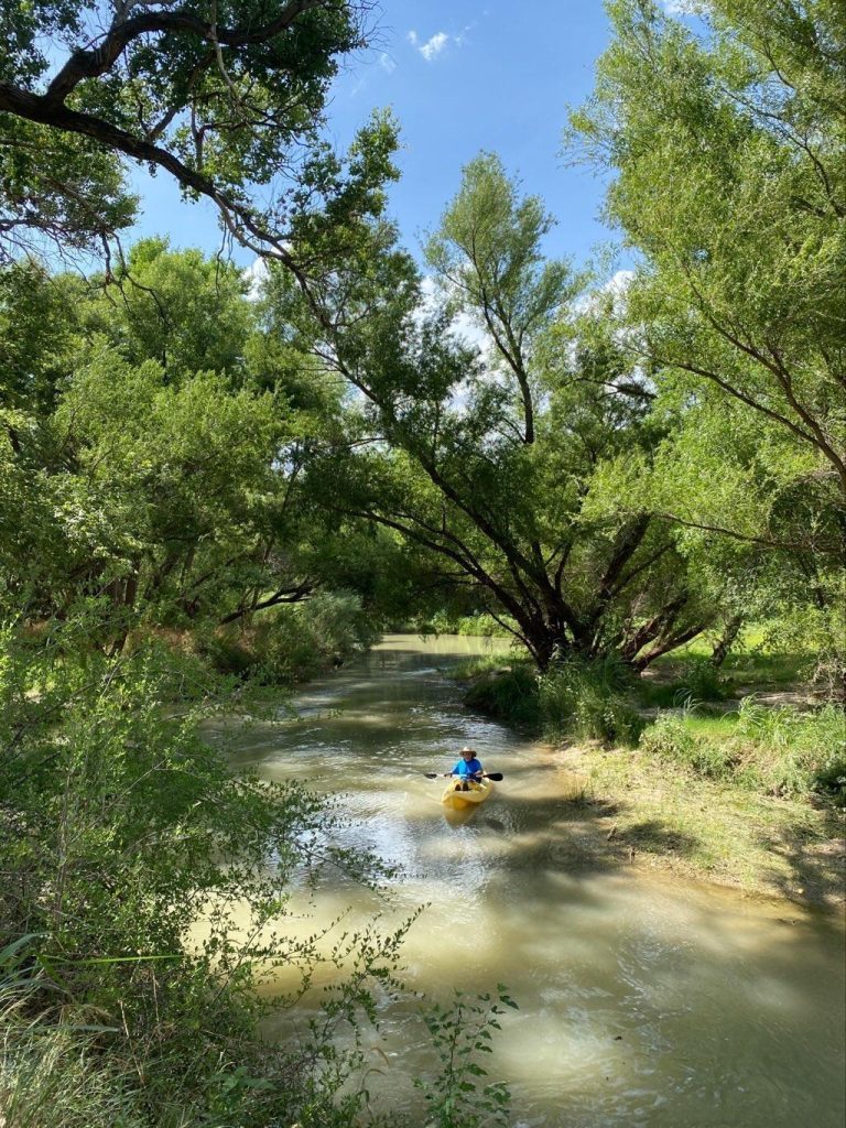
Photo
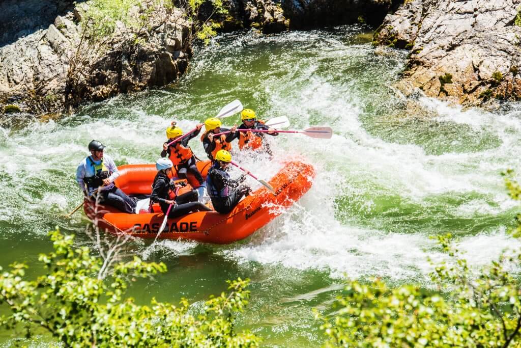
Photo courtesy of American Whitewater
Description
Take Out rapid serves as the terminal point for the Cherokee Creek run, marking the end of a challenging 9-mile stretch. While specific details are limited, paddlers should be prepared for potential hazards typical of a remote Texas creek descent, including potential shallow rock gardens, tight technical lines, and potential wood or strainer obstacles that may require careful navigation.
Location


View Full Run
FM 501 to CR 442 (9 miles)
Cherokee Creek
III-IV
9.1 mi
Current Conditions
5-Day Forecast
Whitewater data from
American Whitewater
American Whitewater