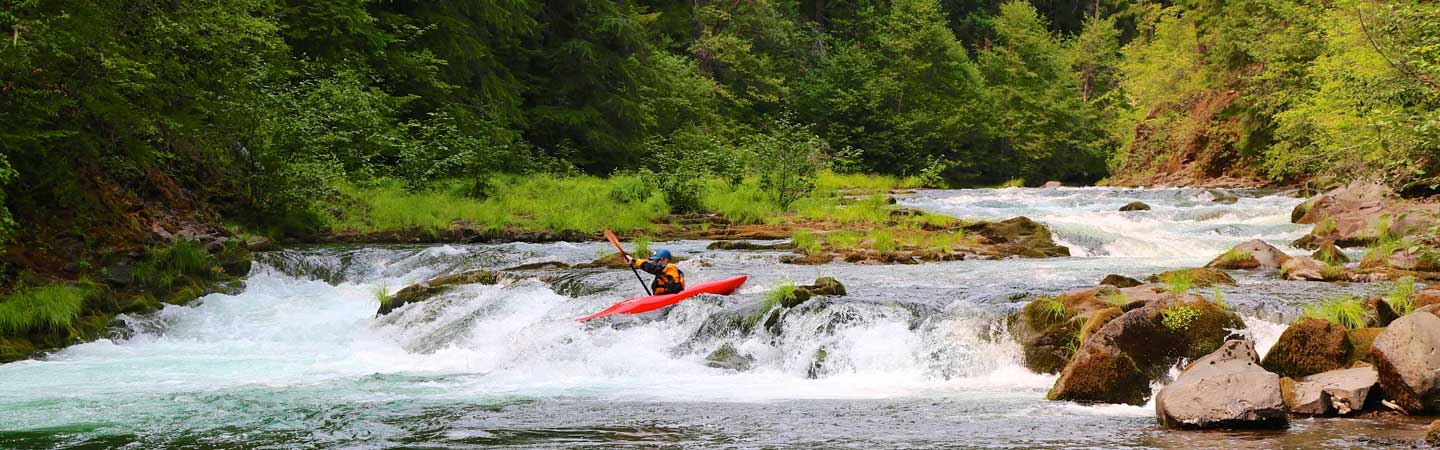
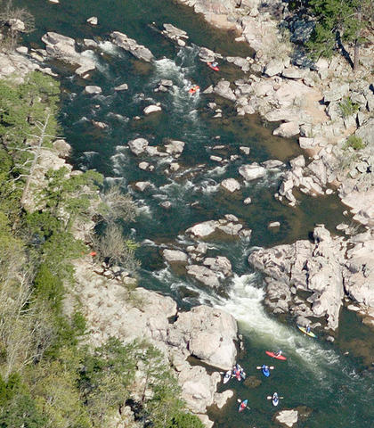
Whitewater Map
Explore rapids, waterfalls, playspots, hazards, and portages across the United States
24,753
Total Features
21,352
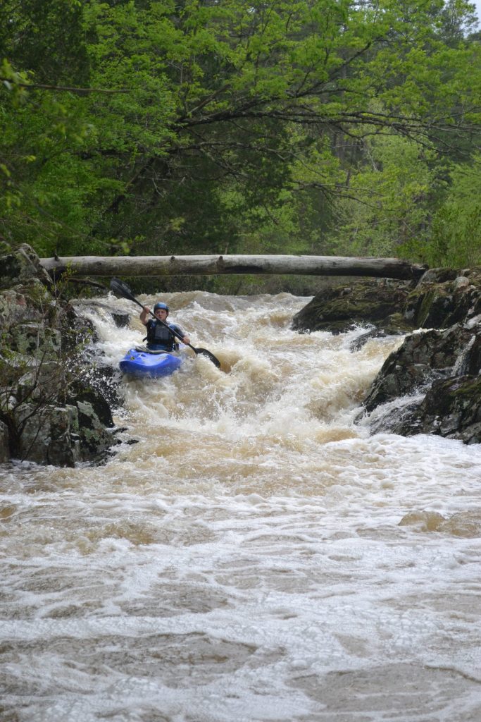
Rapids
855
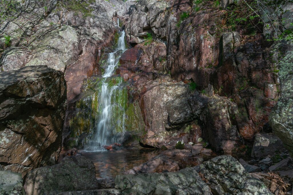
Waterfalls
927
Playspots
1,513
Hazards
106
Portages
Click a category above to filter the map and list
Loading...
Map Legend
Rapids
Waterfalls
Playspots
Hazards
Portages
Rivers
Missouri 41 features
Put In
Rapid
N/A
Take Out
Rapid
N/A

Put In
Rapid
N/A

Take Out
Rapid
N/A

Put In
Rapid
N/A
Take Out
Rapid
N/A
Put In
Rapid
N/A
Take Out
Rapid
N/A
Put In
Rapid
N/A

Take Out
Rapid
N/A
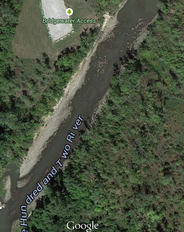
Bridgewater
Rapid
I
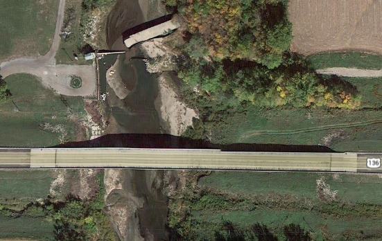
MO-Hwy 136 Access
Rapid
N/A
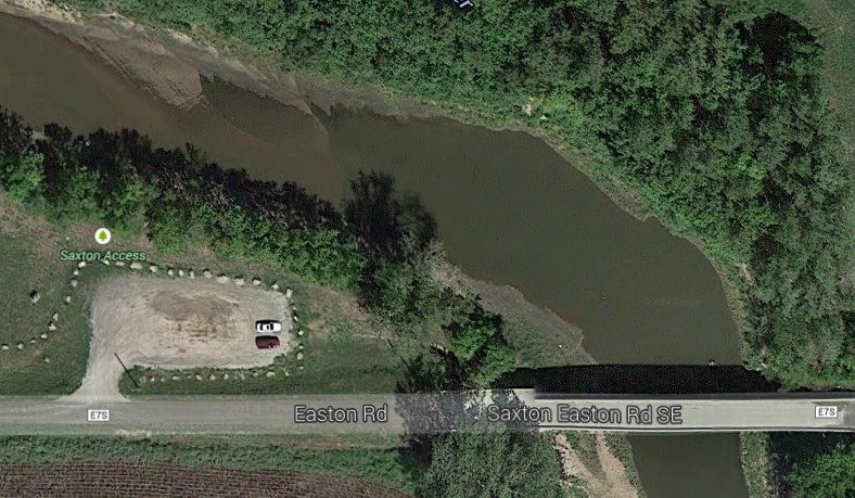
Saxton Access
Rapid
N/A
Snake Side
Hazard
I
Tail-End Charlie
Playspot
II

Put In
Rapid
N/A
Take Out
Rapid
N/A
Put In
Rapid
N/A
Take Out
Rapid
N/A

Put In
Rapid
N/A

Take Out
Rapid
N/A

Put In
Rapid
N/A
Take Out
Rapid
N/A
Put In
Rapid
N/A
Take Out
Rapid
N/A
Put In
Rapid
N/A

Put In
Rapid
N/A

Put In
Rapid
N/A

Take Out
Rapid
N/A

Take Out
Rapid
N/A

Take Out
Rapid
N/A

Put In
Rapid
N/A
Put In
Rapid
N/A

Take Out
Rapid
N/A
Take Out
Rapid
N/A
Put In
Rapid
N/A
Take Out
Rapid
N/A
Put In
Rapid
N/A
Take Out
Rapid
N/A

Put In
Rapid
N/A
Take Out
Rapid
N/A