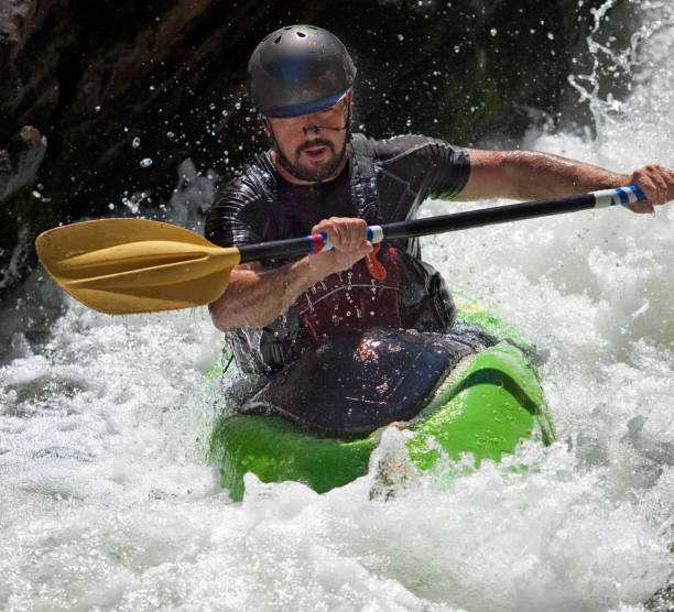
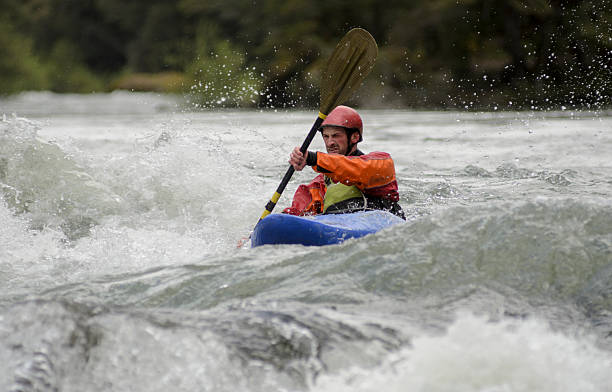
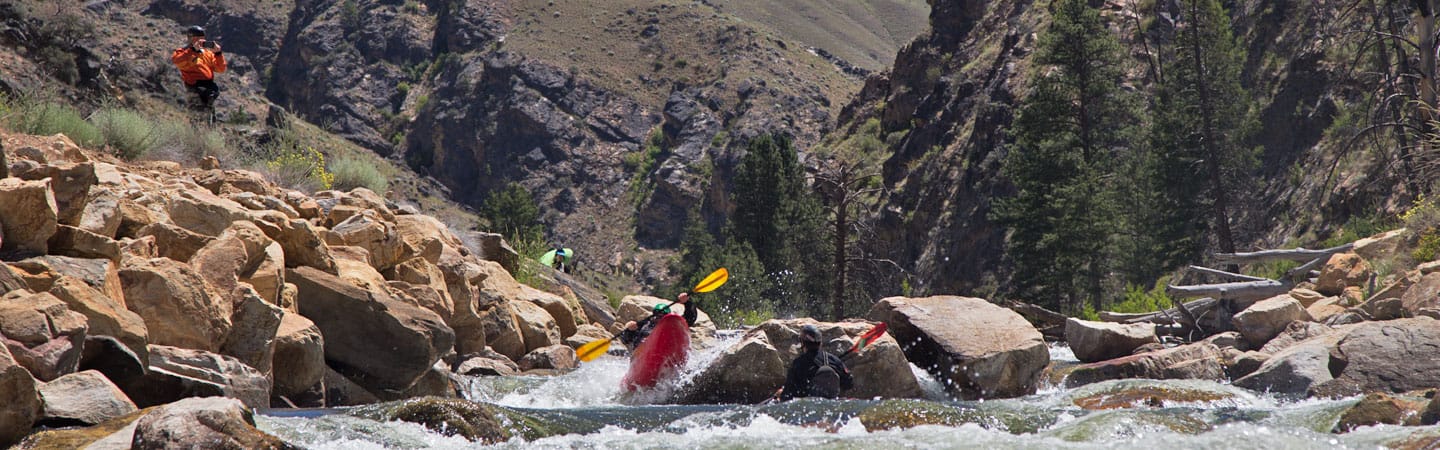
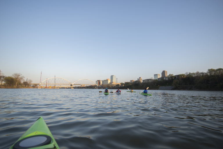
Whitewater Map
Explore rapids, waterfalls, playspots, hazards, and portages across the United States
24,753
Total Features
21,352
Rapids
855
Waterfalls
927
Playspots
1,513
Hazards
106
Portages
Click a category above to filter the map and list
Loading...
Map Legend
Rapids
Waterfalls
Playspots
Hazards
Portages
Rivers
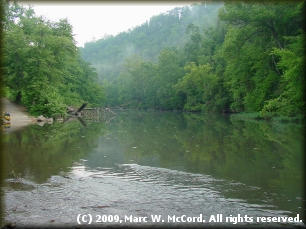
Missouri 48 features

Baptist Access
Rapid
N/A
Beal Landing Access
Rapid
N/A
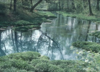
Big Spring
Rapid
N/A
Cedar Grove Access
Rapid
N/A
Chilton Creek Access
Rapid
N/A
Gooseneck Access
Rapid
N/A

Hickory Landing Access
Rapid
N/A
Jerktail Landing Access
Rapid
N/A
Logyard Access
Rapid
N/A
Powder Mill Access
Rapid
N/A
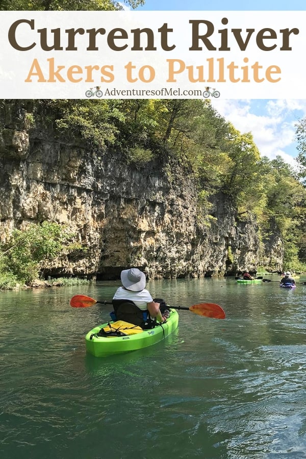
Pulltite Access
Rapid
N/A
Raftyard Access
Rapid
N/A
Roberts Field Access
Rapid
N/A
Round Spring Access
Rapid
N/A
Two Rivers Access
Rapid
N/A
Watercress Park (Van Buren)
Rapid
N/A
Waymeyer Access
Rapid
N/A
Welch Landing
Rapid
N/A
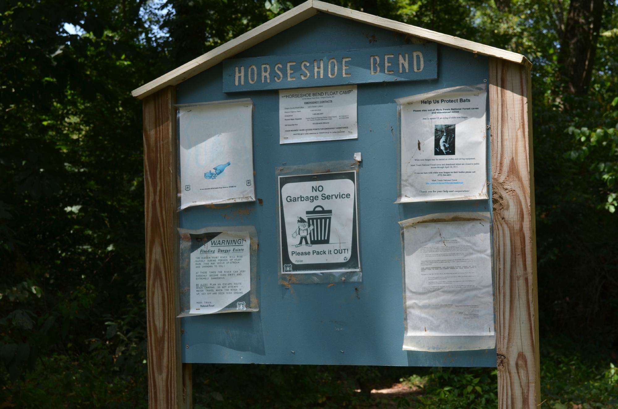
Boze Mill Float Camp
Rapid
N/A
Greer Crossing at State Highway 19 Bridge Put-In
Rapid
N/A
Riverton Access, Highway 160 Bridge Take Out
Rapid
N/A
Turner Mill North River Access, river left
Rapid
N/A
Turner Mill South River Access, river right
Rapid
N/A
Whitten Access
Rapid
N/A

Put In
Rapid
N/A

Take Out
Rapid
N/A
Put In
Rapid
N/A

Take Out
Rapid
N/A
Put In
Rapid
N/A
Take Out
Rapid
N/A

Put In
Rapid
N/A
Take Out
Rapid
N/A
Put In
Rapid
N/A
Take Out
Rapid
N/A

Put In
Rapid
N/A
Take Out
Rapid
N/A
Put In
Rapid
N/A

Take Out
Rapid
N/A
Put In
Rapid
N/A
Take Out
Rapid
N/A
Put In
Rapid
N/A
Take Out
Rapid
N/A
Put In
Rapid
N/A
Take Out
Rapid
N/A
Put In
Rapid
N/A
Take Out
Rapid
N/A
Highway 34 Bridge in Piedmont Take-Out
Rapid
N/A
Lon Sanders Canyon Conservation Area Put-in
Rapid
N/A