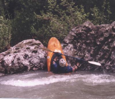
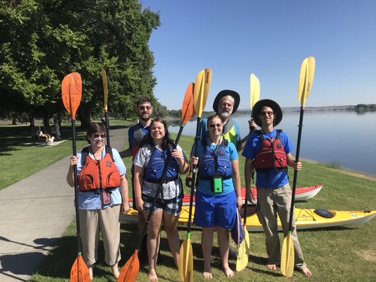
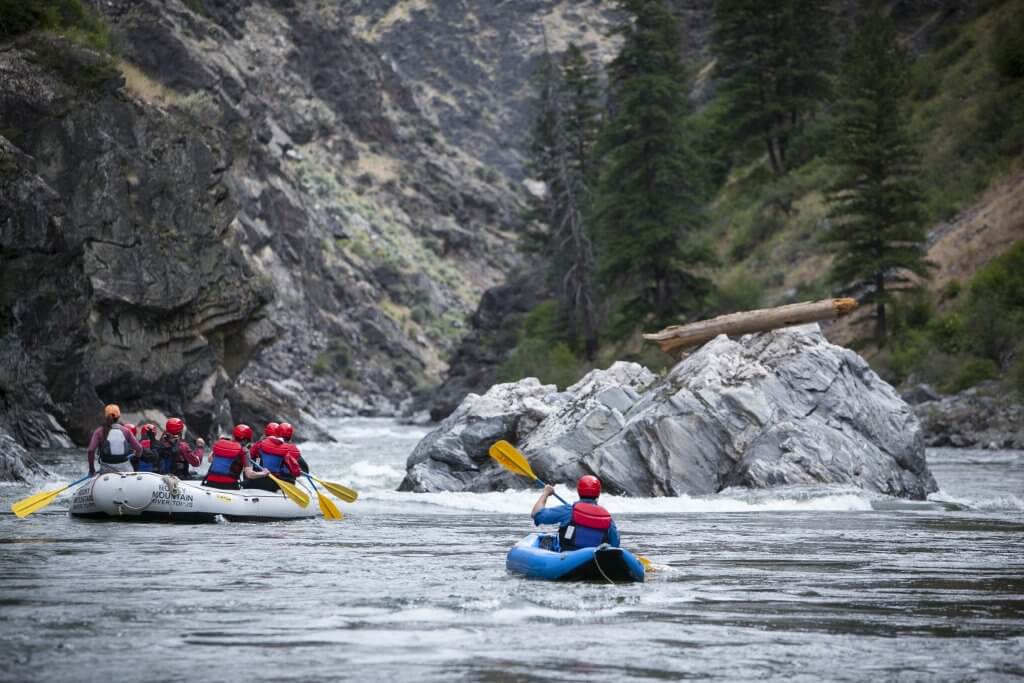
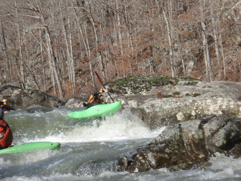
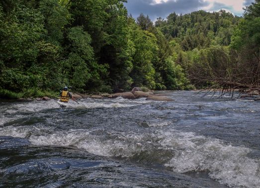
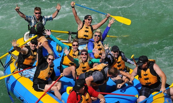
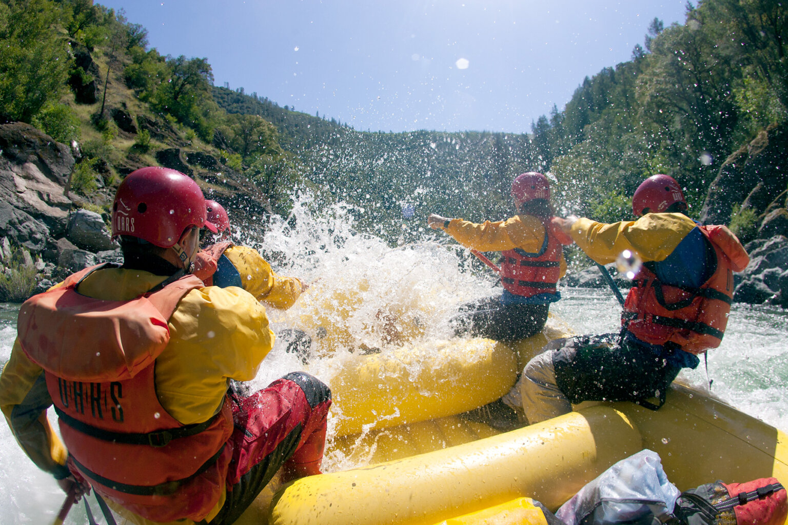
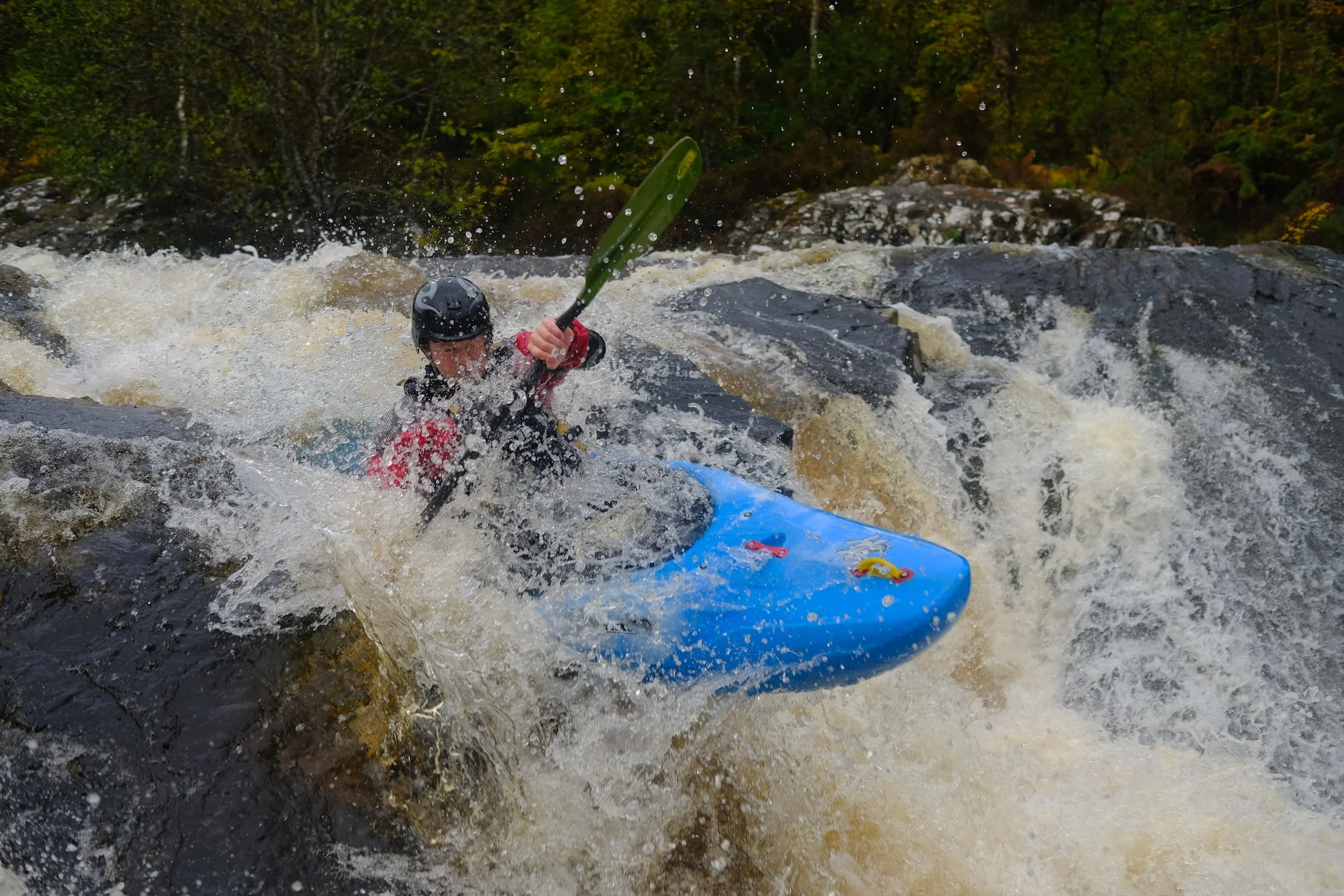
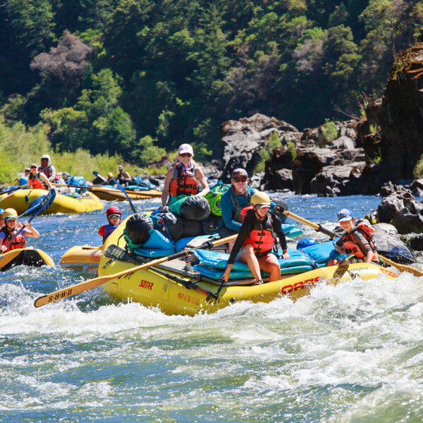
24,753
Total Features
21,352
Rapids
855
Waterfalls
927
Playspots
1,513
Hazards
106
Portages

Click a category above to filter the map and list

Loading...

Map Legend

Rapids
Waterfalls
Playspots
Hazards
Portages
Rivers

Arkansas 48 features

Splat Rock

Splat Rock

Richland Creek - 1) Moore to Richland Creek Campground (6.2 miles)
Playspot III

Split Decision

Richland Creek - 1) Moore to Richland Creek Campground (6.2 miles)
Rapid III
Surf Ledges

Surf Ledges

Richland Creek - 1) Moore to Richland Creek Campground (6.2 miles)
Playspot II+
Take Out

Take Out

Richland Creek - 2) Richland Creek Campground to NFR 1201 (8.5 miles)
Rapid N/A
Upper Screw-Up - aka (Wingard's Right)

Upper Screw-Up - aka (Wingard's Right)

Richland Creek - 1) Moore to Richland Creek Campground (6.2 miles)
Rapid IV

USFS Richland Campground

Richland Creek - 1) Moore to Richland Creek Campground (6.2 miles)
Rapid II+

Warm up

Richland Creek - 1) Moore to Richland Creek Campground (6.2 miles)
Rapid II
Put In

Put In

Robinson Creek - Weyerhauser rd 86000 to 85300 (9 miles)
Rapid N/A
Take Out

Take Out

Robinson Creek - Weyerhauser rd 86000 to 85300 (9 miles)
Rapid N/A
Put In

Put In

Rock Creek - Chenal Parkway to Boyle Park (7.2 miles)
Rapid N/A
Take Out

Take Out

Rock Creek - Chenal Parkway to Boyle Park (7.2 miles)
Rapid N/A
Put In

Put In

Salado Creek - Camp Tahkotah to US 167 (10 miles)
Rapid N/A
Take Out

Take Out

Salado Creek - Camp Tahkotah to US 167 (10 miles)
Rapid N/A
Put In

Put In

Saline (Howard County) - 2) Dierks Lake to Hwy 70 (5.6 miles or 0.75 mile loop)
Rapid N/A
Put In

Put In

Saline (Howard County) - 1) Shady Lake to Hwy 84 (4.5 miles)
Rapid N/A
Take Out

Take Out

Saline (Howard County) - 1) Shady Lake to Hwy 84 (4.5 miles)
Rapid N/A
Take Out

Take Out

Saline (Howard County) - 2) Dierks Lake to Hwy 70 (5.6 miles or 0.75 mile loop)
Rapid N/A
Put In

Put In

Saline, Alum Fork - Hwy 5 to Saline Crossing Regional Park (24.1 miles)
Rapid N/A
Take Out

Take Out

Saline, Alum Fork - Hwy 5 to Saline Crossing Regional Park (24.1 miles)
Rapid N/A
Put In

Put In

Saline, Middle Fork - Iron Springs to Buffalo Gap Road (1 mile)
Rapid N/A
Take Out

Take Out

Saline, Middle Fork - Iron Springs to Buffalo Gap Road (1 mile)
Rapid N/A
Put In

Put In

Saline, North Fork - Steel Bridge Road to Lyle Park (6.36 miles)
Rapid N/A
Take Out

Take Out

Saline, North Fork - Steel Bridge Road to Lyle Park (6.36 miles)
Rapid N/A
Put In

Put In

Sandy Springs Hollow - Headwaters to EFLB (2 miles)
Rapid N/A
Rooster's Two Step

Rooster's Two Step

Sandy Springs Hollow - Headwaters to EFLB (2 miles)
Waterfall IV
Sandy's Crack

Sandy's Crack

Sandy Springs Hollow - Headwaters to EFLB (2 miles)
Hazard IV
Sandy's Squeeze Box

Sandy's Squeeze Box

Sandy Springs Hollow - Headwaters to EFLB (2 miles)
Hazard IV+
Swimmin' Hole

Swimmin' Hole

Sandy Springs Hollow - Headwaters to EFLB (2 miles)
Waterfall III
Take Out

Take Out

Sandy Springs Hollow - Headwaters to EFLB (2 miles)
Rapid N/A

Upper EFLB confluence

Sandy Springs Hollow - Headwaters to EFLB (2 miles)
Rapid N/A
Blue Light Special

Blue Light Special

Shop Creek, West Fork - Alum Cove Creek to Parthenon (6.6 miles)
Waterfall IV
Check Out Line

Check Out Line

Shop Creek, West Fork - Alum Cove Creek to Parthenon (6.6 miles)
Rapid IV
Hypermart

Hypermart

Shop Creek, West Fork - Alum Cove Creek to Parthenon (6.6 miles)
Rapid IV
No Refund

No Refund

Shop Creek, West Fork - Alum Cove Creek to Parthenon (6.6 miles)
Rapid III+
Put In

Put In

Shop Creek, West Fork - Alum Cove Creek to Parthenon (6.6 miles)
Rapid N/A
Put-in Parking

Put-in Parking

Shop Creek, West Fork - Alum Cove Creek to Parthenon (6.6 miles)
Rapid N/A
Surf City

Surf City

Shop Creek, West Fork - Alum Cove Creek to Parthenon (6.6 miles)
Rapid III
Take Out

Take Out

Shop Creek, West Fork - Alum Cove Creek to Parthenon (6.6 miles)
Rapid N/A
Thanks For Shopping

Thanks For Shopping

Shop Creek, West Fork - Alum Cove Creek to Parthenon (6.6 miles)
Rapid III+
Put In

Put In

South Fourche LaFave - Hwy 7 to Deberrie low-water bridge (11.3 miles)
Rapid N/A
Take Out

Take Out

South Fourche LaFave - Hwy 7 to Deberrie low-water bridge (11.3 miles)
Rapid N/A
Put In

Put In

Spirits Creek - County Road 76 to County Road 2434 (4 miles)
Rapid N/A
Take Out

Take Out

Spirits Creek - County Road 76 to County Road 2434 (4 miles)
Rapid N/A
(visible ledge #1)

(visible ledge #1)

Spring - Mammoth Spring to Hardy (15 miles)
Rapid N/A
(visible ledge #10)

(visible ledge #10)

Spring - Mammoth Spring to Hardy (15 miles)
Rapid N/A

(visible ledge #11+12)

Spring - Mammoth Spring to Hardy (15 miles)
Rapid N/A

(visible ledge #13)

Spring - Mammoth Spring to Hardy (15 miles)
Rapid N/A

(visible ledge #14)

Spring - Mammoth Spring to Hardy (15 miles)
Rapid N/A
« Prev1...2425262728...516Next »