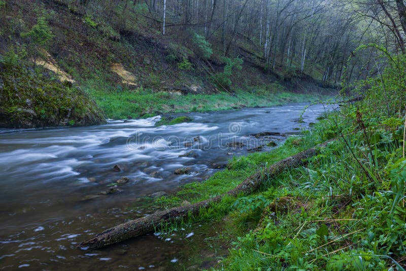
24,753
Total Features
21,352
Rapids
855
Waterfalls
927
Playspots
1,513
Hazards
106
Portages

Click a category above to filter the map and list

Loading...

Map Legend

Rapids
Waterfalls
Playspots
Hazards
Portages
Rivers

Virginia 48 features

Super Slide

Super Slide

Big Wilson Creek - Near Mouth of Wilson
Waterfall IV+
Take Out

Take Out

Big Wilson Creek - Near Mouth of Wilson
Rapid N/A
Triple Rock

Triple Rock

Big Wilson Creek - Near Mouth of Wilson
Rapid III+
Put In

Put In

Bottom Creek - Bottom Creek Road Bridge To Route 637
Rapid N/A
Take Out

Take Out

Bottom Creek - Bottom Creek Road Bridge To Route 637
Rapid N/A
Put In

Put In

Briery Branch - Briery Branch Dam to North R.
Rapid N/A
Take Out

Take Out

Briery Branch - Briery Branch Dam to North R.
Rapid N/A
Put In

Put In

Broad Run - 2. Beverly Mills (Route 55) to Buckland (Route 29/211)
Rapid N/A
Put In

Put In

Broad Run - 1. Route 628 to Beverly Mills (Route 55)
Rapid N/A
Put In

Put In

Broad Run - 3. Route 675 to Route 28 South of Manassas
Rapid N/A
Take Out

Take Out

Broad Run - 2. Beverly Mills (Route 55) to Buckland (Route 29/211)
Rapid N/A
Take Out

Take Out

Broad Run - 3. Route 675 to Route 28 South of Manassas
Rapid N/A
Take Out

Take Out

Broad Run - 1. Route 628 to Beverly Mills (Route 55)
Rapid N/A
Put In

Put In

Buck Mountain Creek - Route 601 to the S. Fork of Rivanna R
Rapid N/A
Take Out

Take Out

Buck Mountain Creek - Route 601 to the S. Fork of Rivanna R
Rapid N/A
Murat Ledge

Murat Ledge

Buffalo Creek (Maury Trib) - Effinger (VA 251) to Buffalo Forge (VA 70)
Rapid III
Put In

Put In

Buffalo Creek (Maury Trib) - Effinger (VA 251) to Buffalo Forge (VA 70)
Rapid N/A
Take Out

Take Out

Buffalo Creek (Maury Trib) - Effinger (VA 251) to Buffalo Forge (VA 70)
Rapid N/A
Put In

Put In

Buffalo River (Tye trib.) - 1. Forks of Buffalo (U.S. 60) to Amherst (U.S. 29)
Rapid N/A
Put In

Put In

Buffalo River (Tye trib.) - 2. Amherst (U.S. 29) to Tye R.
Rapid N/A
Take Out

Take Out

Buffalo River (Tye trib.) - 1. Forks of Buffalo (U.S. 60) to Amherst (U.S. 29)
Rapid N/A
Take Out

Take Out

Buffalo River (Tye trib.) - 2. Amherst (U.S. 29) to Tye R.
Rapid N/A
Double Ledge

Double Ledge

Bullpasture - 2. Public Fishing Access (Rt. 678) to Cowpasture River
Hazard III+
False Falls

False Falls

Bullpasture - 2. Public Fishing Access (Rt. 678) to Cowpasture River
Waterfall III
Hayfields State Park

Hayfields State Park

Bullpasture - 1. McDowell (Route 250) to Public Fishing Access (Rt. 678)
Rapid N/A
Junction with Cowpasture River

Junction with Cowpasture River

Bullpasture - 2. Public Fishing Access (Rt. 678) to Cowpasture River
Rapid N/A
No Name

No Name

Bullpasture - 2. Public Fishing Access (Rt. 678) to Cowpasture River
Rapid
Put In

Put In

Bullpasture - 2. Public Fishing Access (Rt. 678) to Cowpasture River
Rapid N/A
Put In

Put In

Bullpasture - 1. McDowell (Route 250) to Public Fishing Access (Rt. 678)
Rapid N/A
S-Turn

S-Turn

Bullpasture - 2. Public Fishing Access (Rt. 678) to Cowpasture River
Hazard III
Take Out

Take Out

Bullpasture - 1. McDowell (Route 250) to Public Fishing Access (Rt. 678)
Rapid N/A
Take-out - VA 614 bridge

Take-out - VA 614 bridge

Bullpasture - 2. Public Fishing Access (Rt. 678) to Cowpasture River
Rapid N/A
Put In

Put In

Calfpasture - 2. Deerfield (Route 692) to Ramsey Gap Bridge (Route 687)
Rapid N/A
Put In

Put In

Calfpasture - 1. Rt. 250 to Deerfield (Route 692)
Rapid N/A
Put In

Put In

Calfpasture - 3. Ramsey Gap Bridge (Route 687) to Goshen (Route 42)
Rapid N/A
Put In

Put In

Calfpasture - 4. Goshen (Route 42) to Maury River (Route 39)
Rapid N/A
Take Out

Take Out

Calfpasture - 3. Ramsey Gap Bridge (Route 687) to Goshen (Route 42)
Rapid N/A
Take Out

Take Out

Calfpasture - 2. Deerfield (Route 692) to Ramsey Gap Bridge (Route 687)
Rapid N/A
Take Out

Take Out

Calfpasture - 1. Rt. 250 to Deerfield (Route 692)
Rapid N/A
Take Out

Take Out

Calfpasture - 4. Goshen (Route 42) to Maury River (Route 39)
Rapid N/A
Catawba Creek Rd. - Rt. 695

Catawba Creek Rd. - Rt. 695

Catawba Creek - Fincastle (Route 616) to James R. (Route 726)
Rapid N/A
Kyles Mill access - Rt. 635

Kyles Mill access - Rt. 635

Catawba Creek - Fincastle (Route 616) to James R. (Route 726)
Rapid N/A
Put In

Put In

Catawba Creek - Fincastle (Route 616) to James R. (Route 726)
Rapid N/A
Take Out - James confluence

Take Out - James confluence

Catawba Creek - Fincastle (Route 616) to James R. (Route 726)
Rapid N/A
Put In

Put In

Catoctin Creek - SR 663 to Potomac Confluence
Rapid N/A
Take Out

Take Out

Catoctin Creek - SR 663 to Potomac Confluence
Rapid N/A
Low water bridge

Low water bridge

Cedar Creek - 3. Middle Rd. (VA Route 628) to US Route 11
Hazard N/A
Minebank Rd

Minebank Rd

Cedar Creek - 3. Middle Rd. (VA Route 628) to US Route 11
Rapid N/A
« Prev1...395396397398399...516Next »