Whitewater Map
Explore rapids, waterfalls, playspots, hazards, and portages across the United States
24,753
Total Features
21,352
Rapids
855
Waterfalls
927
Playspots
1,513
Hazards
106
Portages
Click a category above to filter the map and list
Loading...
Map Legend
Rapids
Waterfalls
Playspots
Hazards
Portages
Rivers
Virginia 48 features

Take Out
Rapid
N/A

Put In
Rapid
N/A
Take Out
Rapid
N/A
Put In
Rapid
N/A
Take Out
Rapid
N/A

Put In
Rapid
N/A

Take Out
Rapid
N/A

Put In
Rapid
N/A
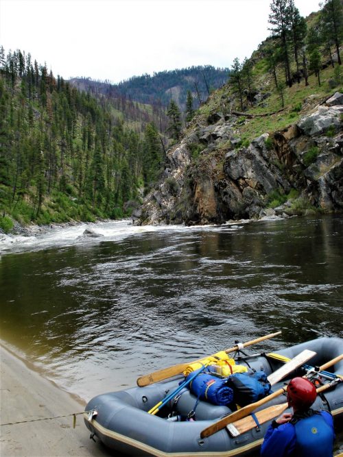
Put In - Elizabeth Furnace
Rapid
N/A

Take Out
Rapid
N/A

Take Out
Rapid
N/A
Panther Falls
Hazard
IV+

Put In
Rapid
N/A
Put In
Rapid
N/A

Put In
Rapid
N/A
Put In - Rt. 60
Rapid
N/A
Take Out
Rapid
N/A

Take Out
Rapid
N/A
Take Out
Rapid
N/A

Take Out
Rapid
N/A

Put In
Rapid
N/A

Put In
Rapid
N/A

Take Out
Rapid
N/A
Take Out
Rapid
N/A

Put In
Rapid
N/A
Take Out
Rapid
N/A
Bridge Rapid
Rapid
IV-
Corner Rapid
Rapid
IV
first low water bridge
Rapid
N/A
Golden Triangle Rapid
Rapid
IV
Island Rapid
Rapid
III+
Put In - US Forest Service sign above Alhambra, VA
Rapid
N/A
second low water bridge
Rapid
N/A
Take Out - VA. 827 ('Perkins Mill Rd')
Rapid
N/A
Put In
Rapid
N/A

Take Out
Rapid
N/A
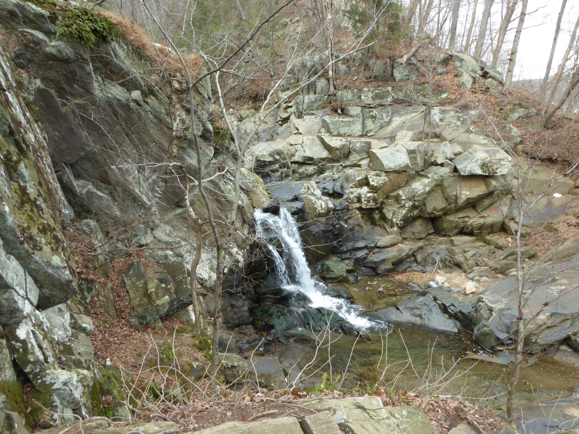
Crazy Creek Waterfall
Waterfall
V
Put-in - Loudoun Heights
Rapid
N/A
Take-Out - Potomac Wayside
Rapid
N/A

Put In
Rapid
N/A
Take Out
Rapid
N/A

Put In
Rapid
N/A

Take Out
Rapid
N/A
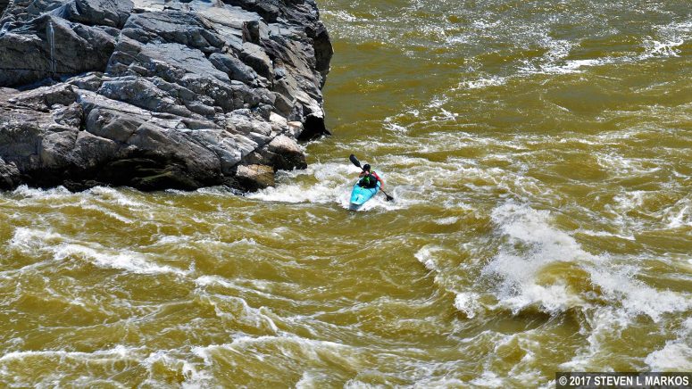
30 Eddy rapid
Rapid
II
Algonkian Regional Park Boat Ramp River Access
Rapid
N/A

Angler's Inn - Put-in
Rapid
N/A
Anglers Inn Access
Rapid
N/A
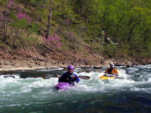
Annies
Playspot
III+