Gauge Conditions
Runnable: 1,000.0 – 3,000.0 CFS
The runnable range is a wild SWAG and should be used with caution. If you run this, please add a comment or report, so that we can develop a correlation.
Data from American Whitewater & USGS
Photo
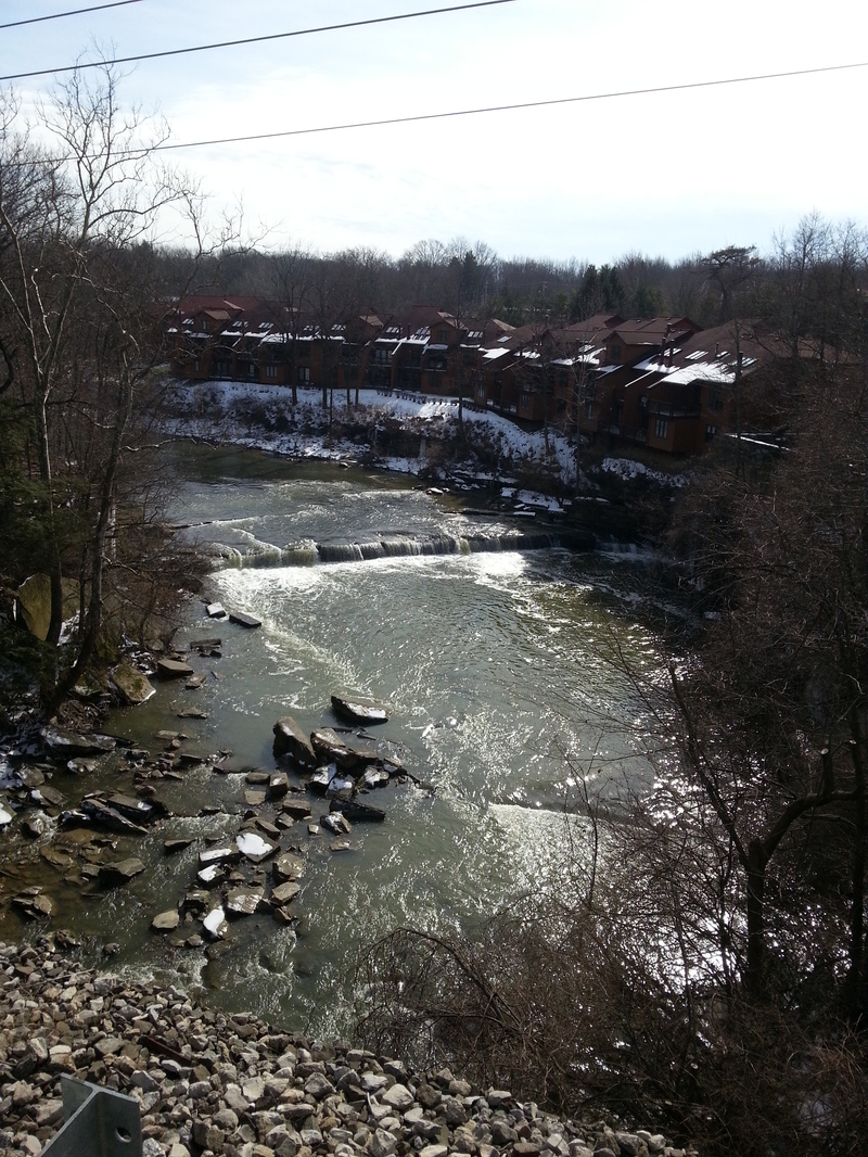
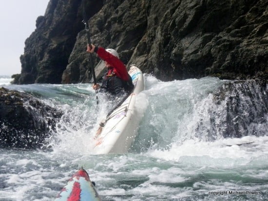
Photo courtesy of American Whitewater
Description
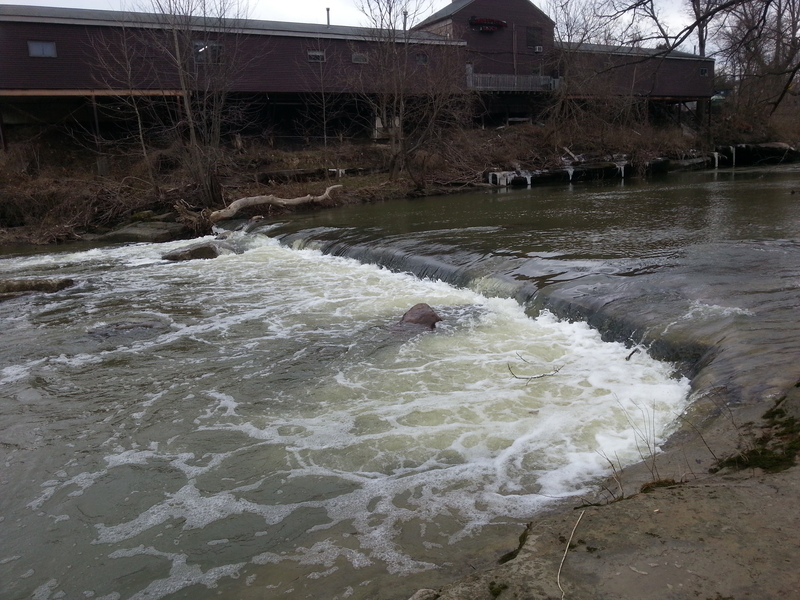
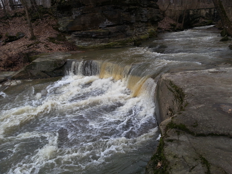
Downstream of Bagley Road, the stream swings a tad to the right, then sharply left. The river-left shore is lined with four extended buildings. As you near the end of the last building, the first dam looms.
This can be run far on the left or far right up to 2.75'. From 2.75' to 3.5', portage on river right from immediately above dam. Above 3.5', takeout just below Bagley Road to portage this dam.
Just downstream you'll pass under railroad tracks which have a center-river pier which tends to accumulate woody debris. Be careful!
Location
View Full Run
2. Sprague Road to Cedar Point Road
Rocky, W.Br.
II-III
5.5 mi
Hazard — Exercise extreme caution in this area.
Current Conditions
5-Day Forecast
Whitewater data from
American Whitewater
American Whitewater