Gauge Conditions
Runnable: 1,000.0 – 3,000.0 CFS
The runnable range is a wild SWAG and should be used with caution. If you run this, please add a comment or report, so that we can develop a correlation.
Data from American Whitewater & USGS
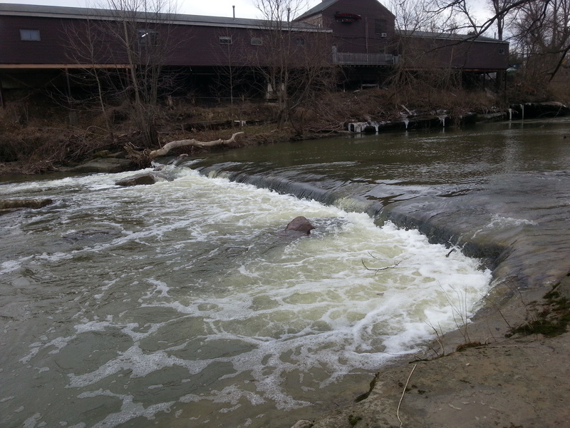
Photo
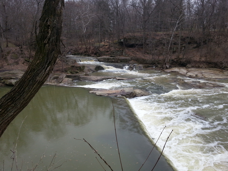
Photo courtesy of American Whitewater
Description
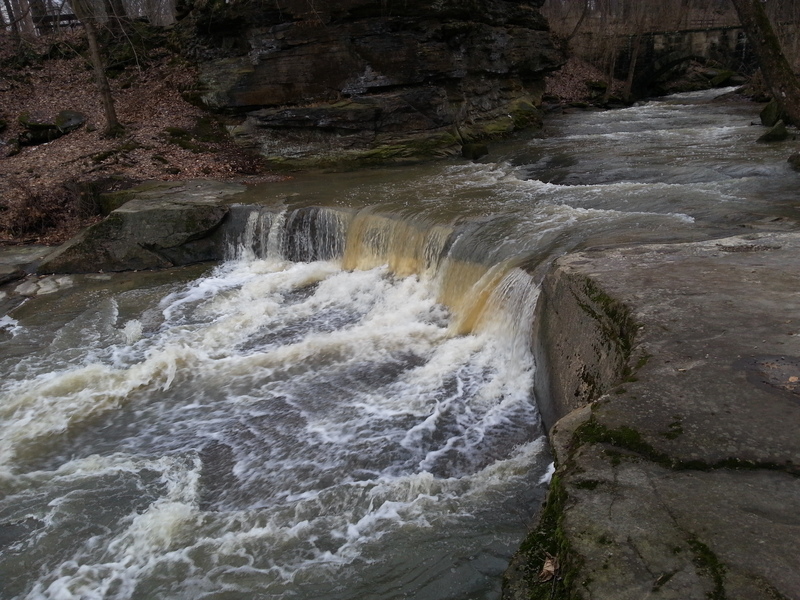
The second low head dam is just a quarter-mile downstream, and lies just upstream of the Water Street bridge.
DO NOT run the main dam. A natural slide on river-left (right side of photo below) may be run at levels up to 3'.
Location
View Full Run
2. Sprague Road to Cedar Point Road
Rocky, W.Br.
II-III
5.5 mi
Hazard — Exercise extreme caution in this area.
Current Conditions
5-Day Forecast
Whitewater data from
American Whitewater
American Whitewater