Gauge Conditions
Runnable: 1,000.0 – 3,000.0 CFS
The runnable range is a wild SWAG and should be used with caution. If you run this, please add a comment or report, so that we can develop a correlation.
Data from American Whitewater & USGS
Photo
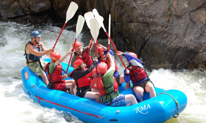
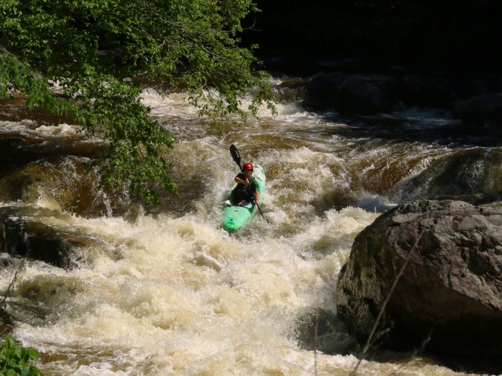
Photo courtesy of American Whitewater
Description
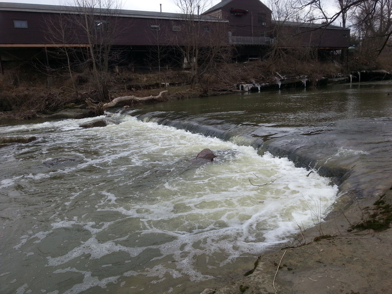
Put In is the initial access point for the Rocky River's West Branch section, offering paddlers a straightforward entry with minimal technical challenges. While specific rapid features are not detailed, boaters should be aware of potential put-in hazards such as submerged rocks or uneven shoreline terrain when launching. Scouting the immediate downstream conditions and checking water levels is recommended before entering the river.
Location


View Full Run
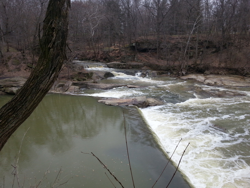
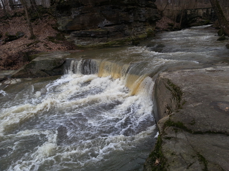
2. Sprague Road to Cedar Point Road
Rocky, W.Br.
II-III
5.5 mi
Current Conditions
5-Day Forecast
Whitewater data from
American Whitewater
American Whitewater