Gauge Conditions
Runnable: 1,000.0 – 3,000.0 CFS
The runnable range is a wild SWAG and should be used with caution. If you run this, please add a comment or report, so that we can develop a correlation.
Data from American Whitewater & USGS
Photo
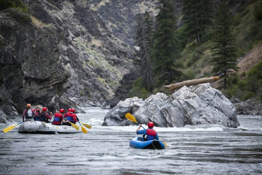
Photo courtesy of American Whitewater
Description
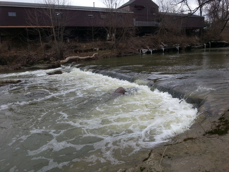
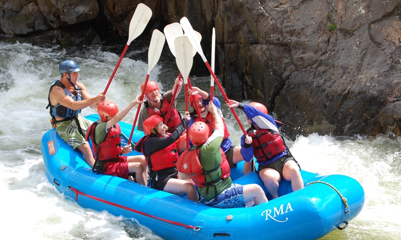
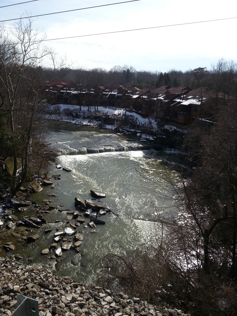
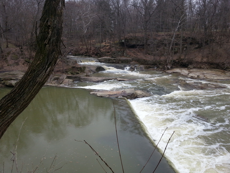
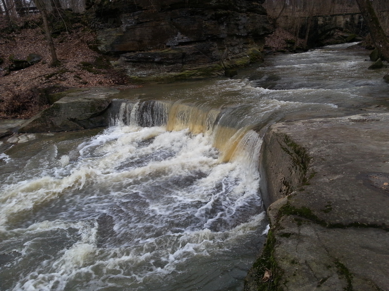
Take Out rapid is a section of moving water near the Sprague Road takeout point on the Rocky River's West Branch. While specifics about the rapid's technical features are limited, paddlers should be prepared for potential obstacles and evaluate current water conditions carefully before navigating this section.
Location
View Full Run
2. Sprague Road to Cedar Point Road
Rocky, W.Br.
II-III
5.5 mi
Current Conditions
5-Day Forecast
Whitewater data from
American Whitewater
American Whitewater