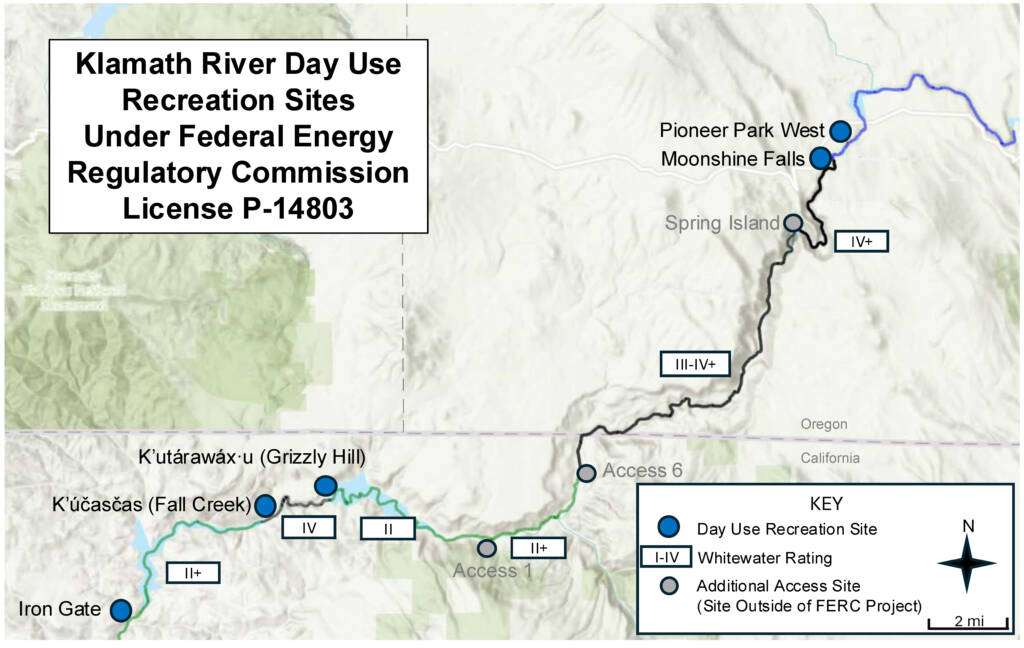
06. K’utárawáx·u / Grizzly Hill Access to K’účasčas / Fall Creek Access
Linked via: Unknown Synced 6mo ago
Gauge Conditions
Runnable: 800.0 – 2,000.0 CFS
Data from American Whitewater & USGS
Run Map
Run Time Estimate
Select put-in and take-out to estimate time.
Unlock Advanced Trip Planning
See wind-adjusted speed maps, forecast planning, and detailed time estimates.
Sign in to generate an AI timing estimate for this run.
Whitewater timing varies with scouting, portages, and group pace. Use as a planning baseline.
Description
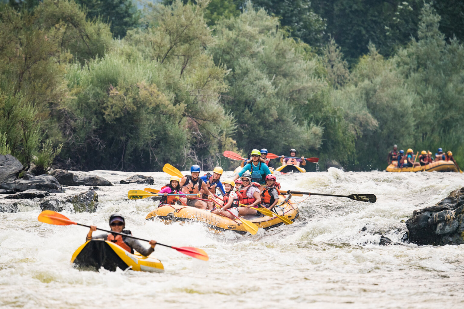
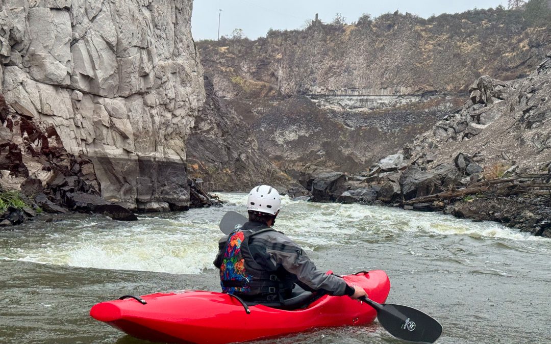
The 2.7-mile K’íka·c’é·ki Canyon Run is a high-gradient (78 ft/mi), Class IV whitewater stretch featuring continuous, challenging rapids and dramatic scenery with columnar basalt cliffs. Once dewatered and inaccessible due to hydropower dams, the canyon now offers summer-long flows, a short shuttle, and an accessible location near I-5, making it an appealing option for advanced boaters and guided trips. K’íka·c’é·ki is the Shasta language place name for the greater landscape of this area, pronounced phonetically as K’-EE-kah-ts’EH-kee.
K’íka·c’é·ki Canyon
K’utárawáx·u (Grizzly Hill) Access (2,515 ft. elev.) to K’účasčas (Fall Creek) (2,304’ ft. elev.)
Length: 2.71 miles; Gradient: 78 ft/mi; Difficulty: IV/IV+
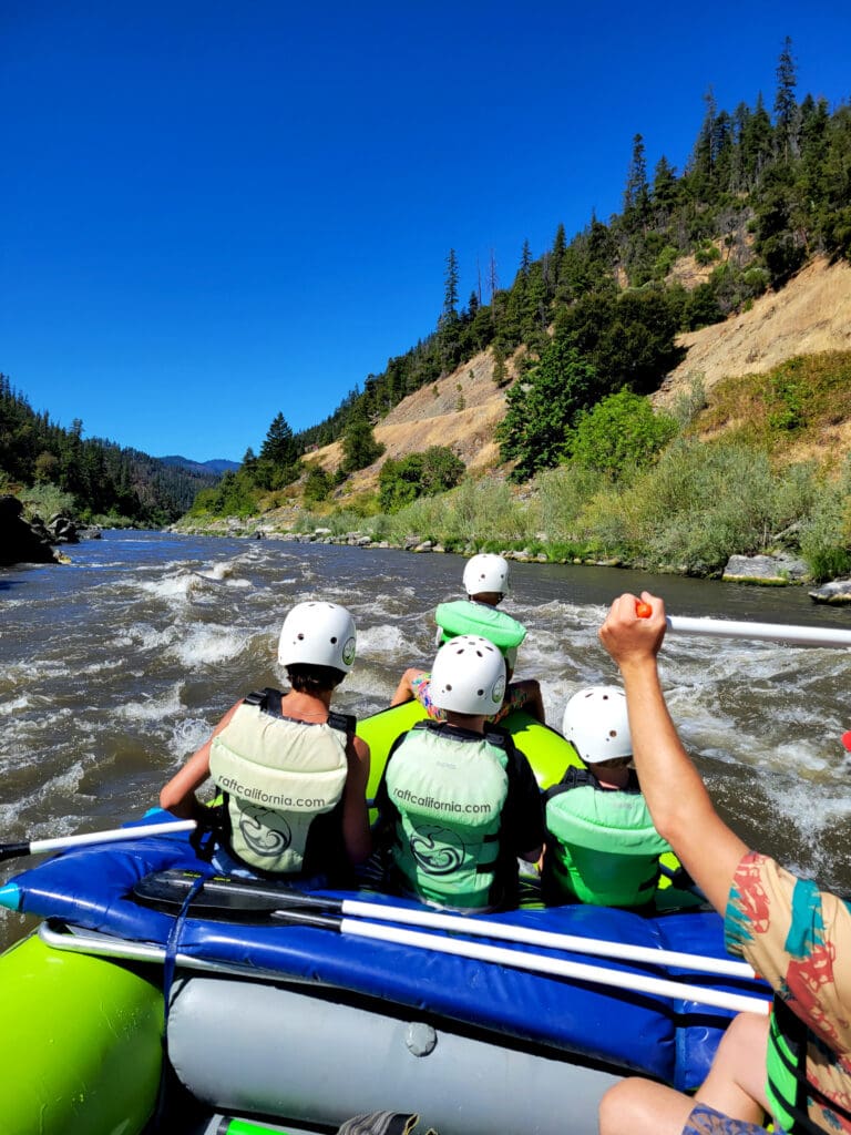
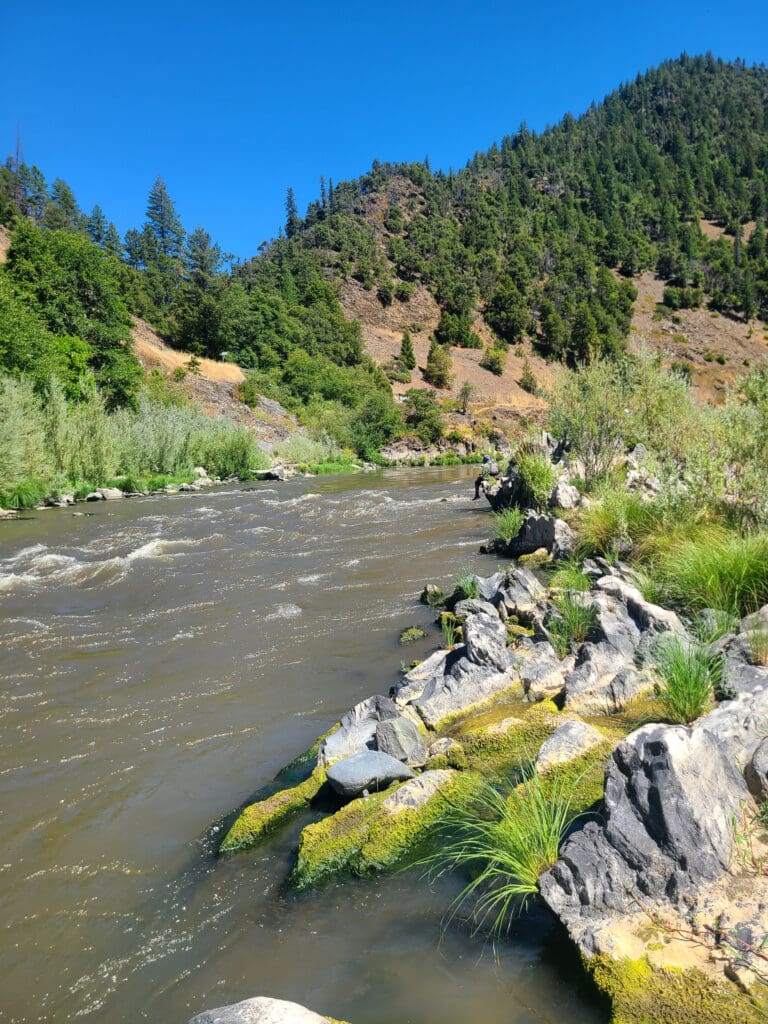
K’íka·c’é·ki Canyon is a whitewater gem with seven rapids. Bookended by the peaceful K’íka·c’é·ki Valley upriver and the gentle Iron Gate Run downstream, K’íka·c’é·ki Canyon is an intense clash between the irresistible force of the Upper Klamath and the immovable object of a relatively recent lava flow. The Klamath wins this geologic fracas by slashing a deep cleft through the lava flow, but the lava gets enough licks in to churn the river in the turbulent passage. It’s a natural collision guaranteed to quicken the pulse of advanced boaters.
K’íka·c’é·ki Canyon is more than just big whitewater: it is a scenic and geologic wonder with the utmost cultural and spiritual significance to the Shasta people, a 300-foot-deep defile bounded by sheer palisades of columnar basalt unlike any other on the Klamath River. On June 18, 2024, the State of California announced that after completion of dam removal, it will transfer ownership of 2,800 acres of land--including K’íka·c’é·ki Canyon and its access points--to the Shasta Indian Nation.
Dam History
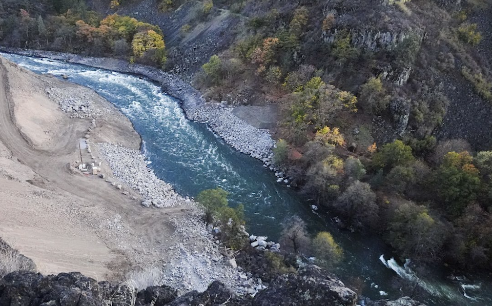
K’íka·c’é·ki Canyon was an engineer’s dream: two easy dam sites, a steep descent, and abundant flow. Small wonder that every inch was tapped for hydropower production. Copco 1 Dam blocked the river a quarter-mile below the canyon entrance, flooding the upstream valley for 106 years before its removal in 2024. Then 500 yards downstream, Copco 2 Dam diverted the entire river (except at rare high water) into pipes and tunnels that bypassed the river channel for 1.75 miles down to the Copco 2 Powerhouse. The dam released a paltry 10 cfs to the bypass reach, which as a result became heavily overgrown with brush and full-sized trees thet grew in the center of the dewatered river channel. The entire canyon was claimed as the private property of Copco, later PacifiCorp, and the public was excluded by gates, fences, and security officers.
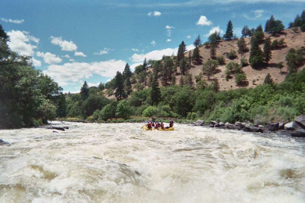
All of which means that K’íka·c’é·ki Canyon had never been available for boating. The only documented runs were during two different whitewater boating flow studies conducted as part of dam relicensing and dam removal studies in 2002 and 2020, respectively. Prior to dam removal, fewer than 20 boaters had ever been through the canyon, and no boater had ever seen the upper half-mile that was inundated by Copco 1 Dam in late 1917. Check out this video shot during the 2020 boating flow study in the canyon.
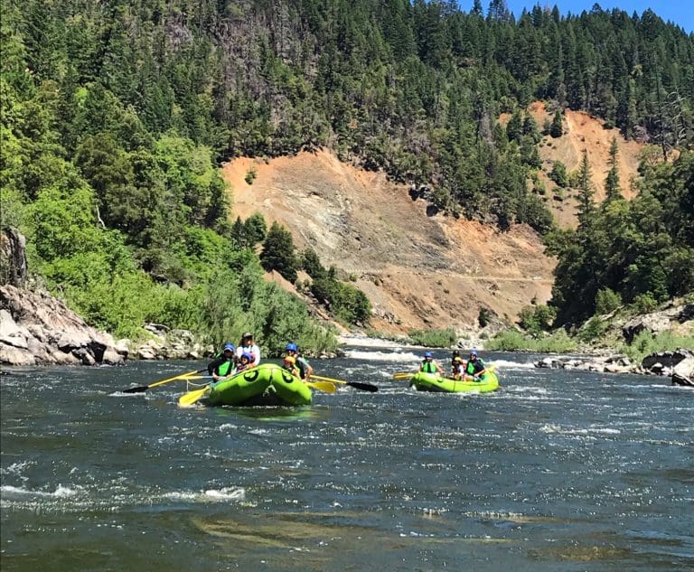
The River Today
K’íka·c’é·ki Canyon is a tremendous whitewater resource, especially given its proximity to Interstate-5. River runners had their first opportunity to experience the canyon during the 2002 and 2020 flow studies when paddlers tested special releases from Copco 2 Dam into the bypass reach. At 1,200 cfs – barely higher than median projected summer flows after dam removal – they found numerous exciting Class IV rapids. The 2020 flow study focused on the projected minimum summer flows of approximately 800 cfs. These levels still provided an excellent whitewater boating experience for all craft types, confirming the value of K’íka·c’é·ki Canyon as a great strethc of river that runs through the summer.
Historical sources offered clues to what paddlers have discoverered in the uppermost half-mile, buried beneath Copco 1 Dam. Engineer John Boyle’s 1911 description of Copco 1 dam site speaks volumes: “The width of the canyon … was 70 feet, all of which was taken up by the water of the river. For 150 feet above the dam and 350 feet below, the river channel had a grade of 2 feet per hundred, producing a velocity … of about 20 feet per second.” Boyle’s description tells us the river was narrow, very swift, and had a gradient of 147 feet per mile. K’íka·c’é·ki Canyon starts with a serious bang with a series of class IV rapids and medium water levels.
K’íka·c’é·ki Canyon has a lot going for it: big rapids, spectacular scenery, summer-long flows, short shuttle and a location twenty miles from I-5. Outfitters are expected to offer half-day or full-day trips in combination with adjoining reaches. Boaters could run laps of this short stretch, while overnight boaters could continue downriver. The key elements needed are a new access at the upstream end of the canyon, improved access at Fall Creek at the downstream end of the canyon, and brush and tree removal in the currently dewatered section of river channel that has accumulated over 100 years of unnatural vegetation growth. American Whitewater successfully advocated for the removal of the dam-related hazard trees and brush. This work was completed in 2023. American Whitewater also successfully advocated for new put-in and take-out accesses, participated in their design phase, and helped secure $3.5 M to construct them both plus one other access on the undammed Klamath reaches in California. Much of the land in K’íka·c’é·ki Canyon and its adjacent access points will be transferred from the State of California to the Shasta Indian Nation following completion of dam removal, putting unceded Native lands back in the hands of its original inhabitants, an action American Whitewater enthusiastically supports.
Rapids in this Run (14)
 Rapid
Rapid
K’utárawáx·u (Grizzly Hill) Access
 Rapid
Rapid
Canyon Entrance
 Rapid
III
Rapid
III
Ìk·wì·k
 Rapid
III
Rapid
III
Bogus Tom Rapid
 Rapid
Rapid
Copco 1 Dam Site (Removed in 2024)
 Rapid
Rapid
Copco 2 Dam Site (Removed in 2023)
 Rapid
III+
Rapid
III+
Kwá·n·a·tuk (Forgotten Forest)
 Rapid
IV-
Rapid
IV-
Kit·árʔ (Salmon Slapper)
 Rapid
IV-
Rapid
IV-
Wát·á·ki (Weaving Willow)
 Rapid
Rapid
Columnar Basalt Palisades
 Rapid
IV-
Rapid
IV-
K'uc'awa·k
 Rapid
IV
Rapid
IV
K’íka·c’é·ki Falls
 Rapid
Rapid
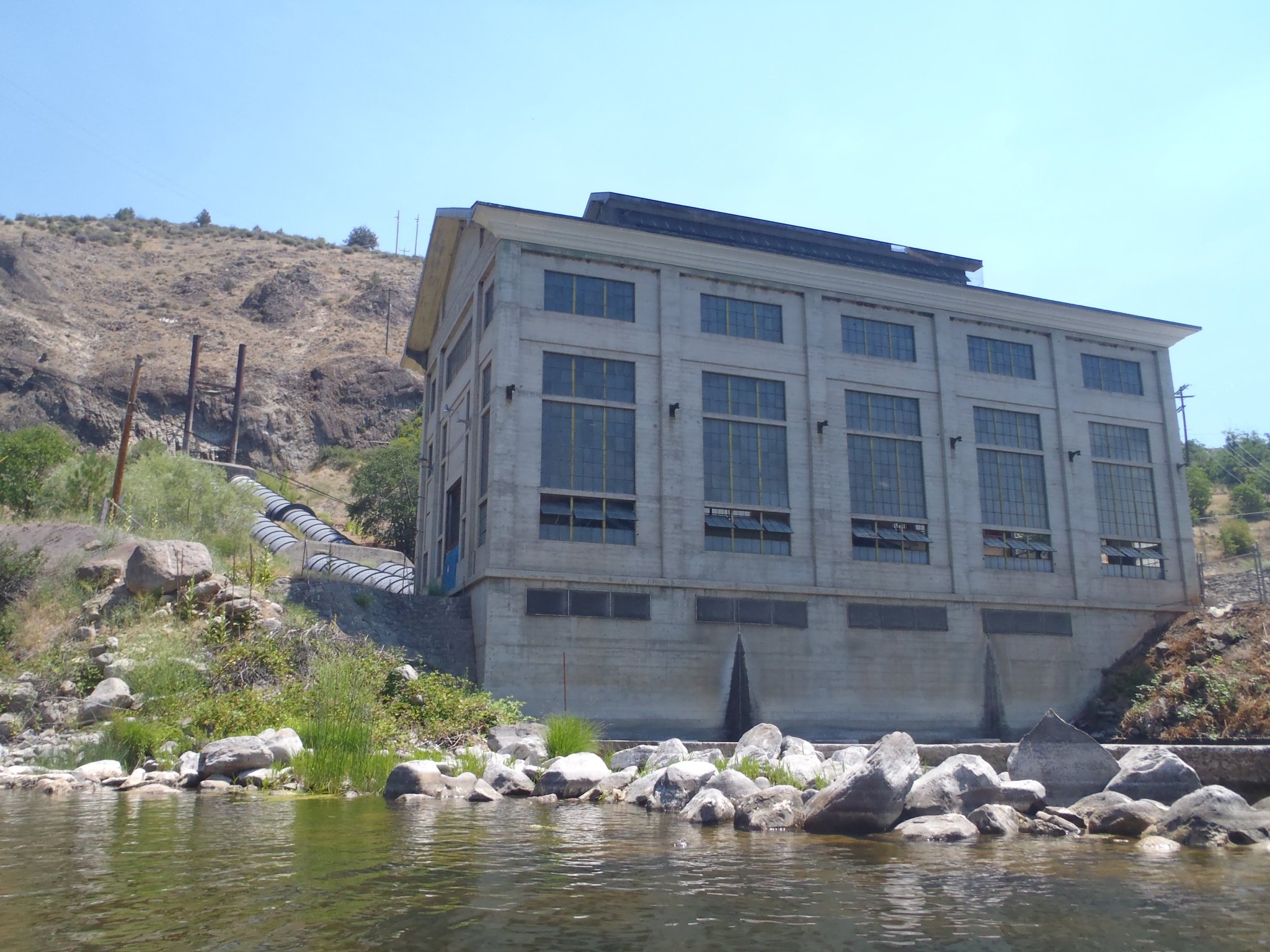
Copco 2 Powerhouse
 Rapid
Rapid
K’účasčas (Fall Creek) River Access
Difficulty
Class IV
Length
2.7 mi
Gradient
73 ft/mi
max 85
Rapids
14
Access Points
Difficulty Classes
I Easy
II Novice
III Intermediate
IV Advanced
V Expert/Extreme
VI Unrunnable
Current Conditions
5-Day Forecast
Whitewater data from
American Whitewater
American Whitewater