Kwá·n·a·tuk (Forgotten Forest)
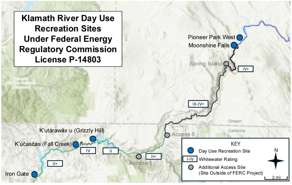
Klamath - 06. K’utárawáx·u / Grizzly Hill Access to K’účasčas / Fall Creek Access (CA)
Gauge Conditions
Photo

Description
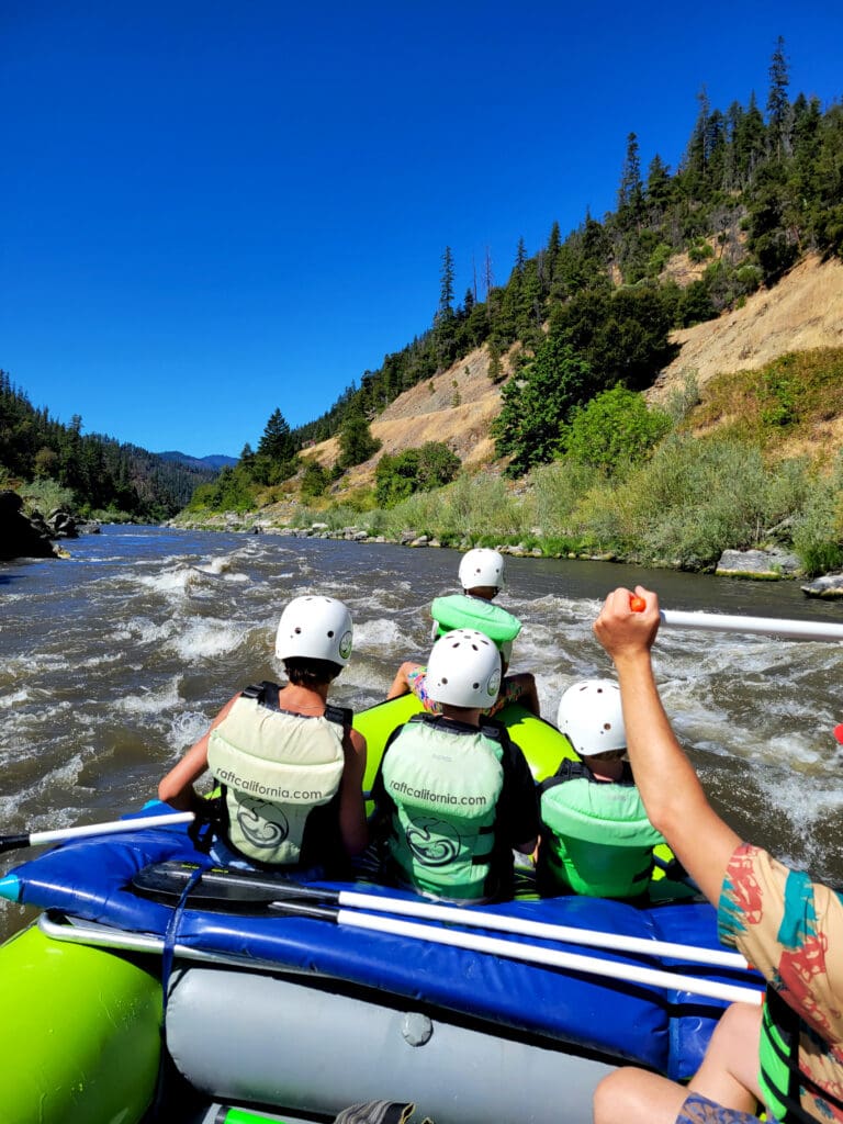
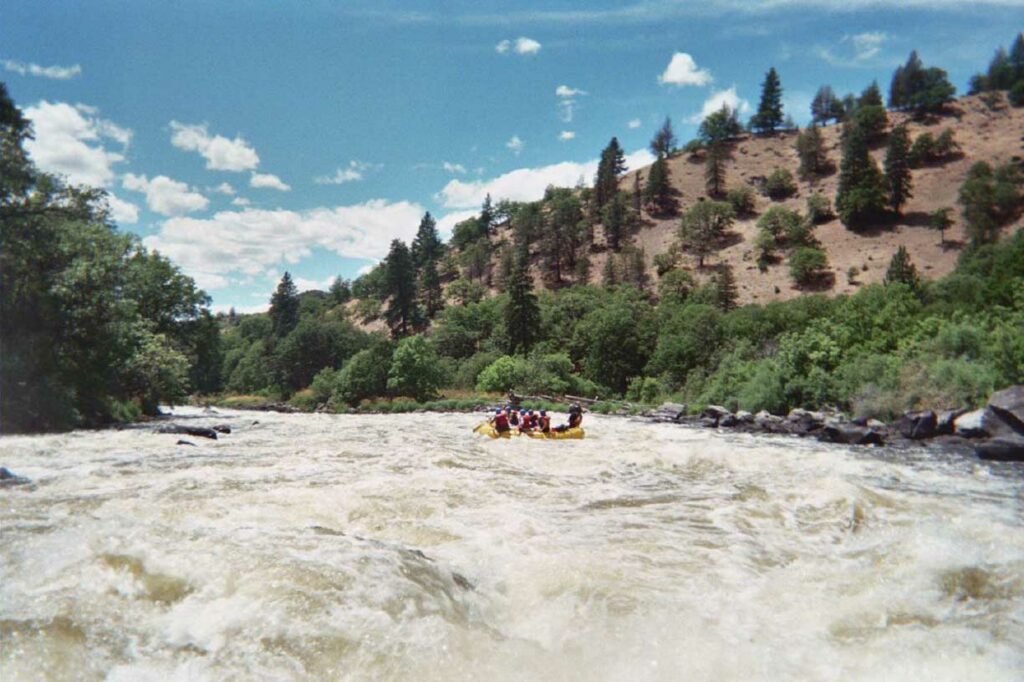
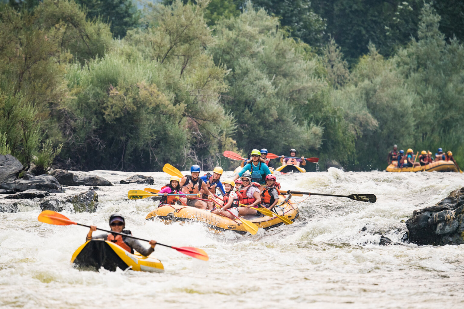
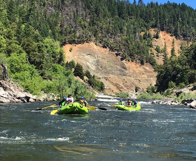
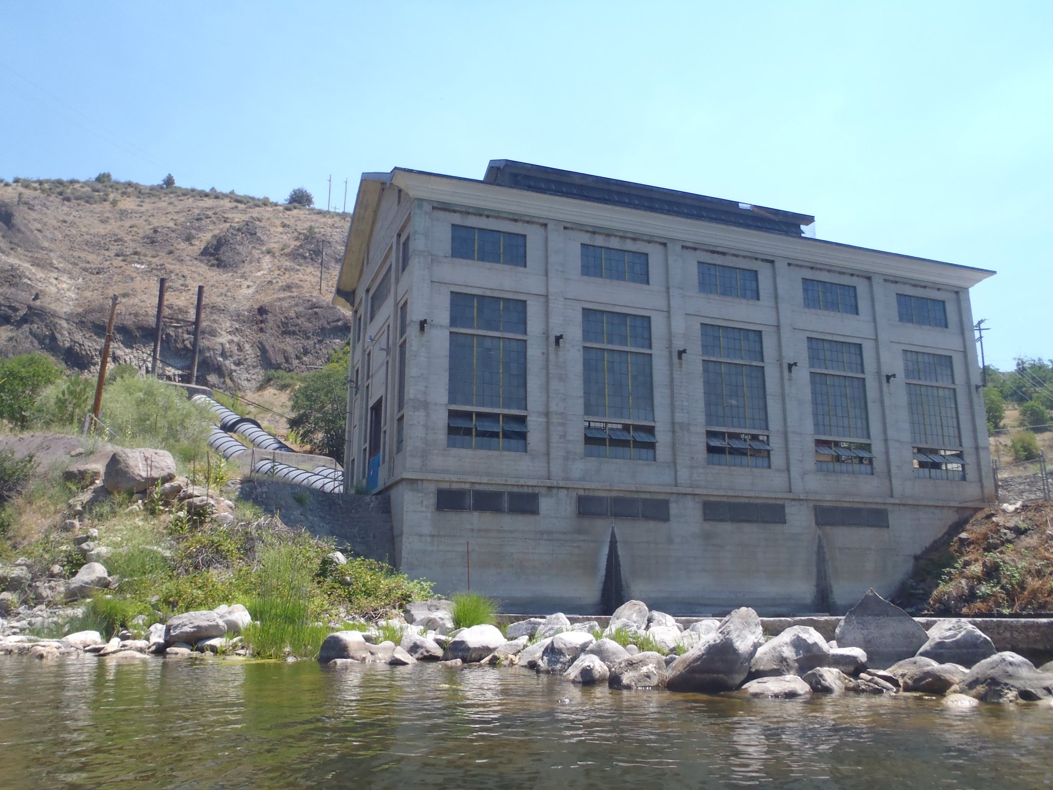
Below the former Copco 2 Dam site, the canyon bends sharply left and the gradient increases. Kwá·n·a·tuk (KWAH-nah-took), also known as Forgotten Forest, is a long, continuous rapid with numerous rocks, holes, and waves. Mid-rapid eddies are limited to the banks at low flows, an even then shoreline tree may present hazards. A swim here can be long and rocky, potentially extending into the next rapid—one of the primary hazards.
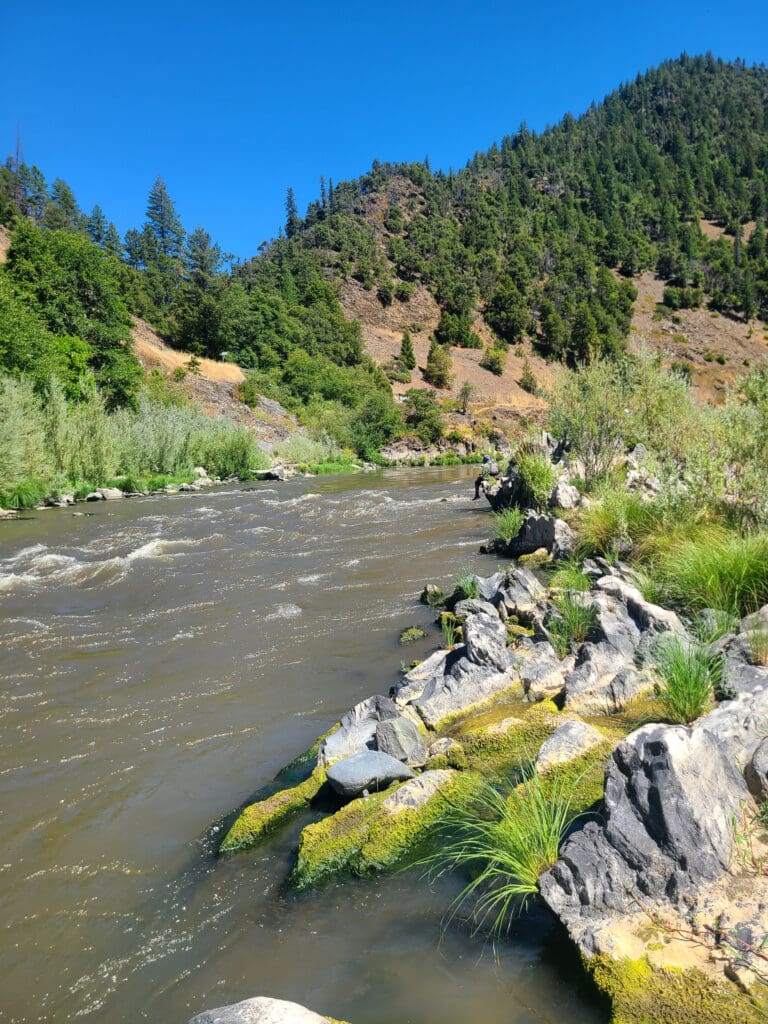
Scouting is best from river right at the top, where there is a a long downstream view. Scrambling higher up the bouldery slope reveals a bit more, though the end of the rapid remains hidden around a slight bend.
The end of Kwá·n·a·tuk is indistinct, as it flows directly into Kit·árʔ (Salmon Slapper) without a significant pool or break. At low and medium flows, a river-left eddy offers a regrouping spot, but at higher flows this disappears, fully merging the two rapids. Many raft groups choose to run them together at all flows.
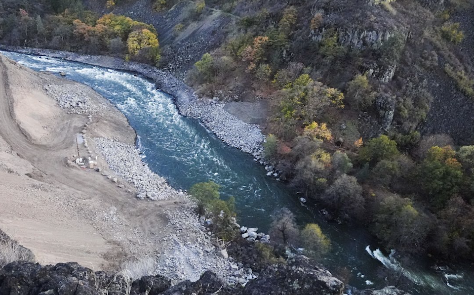
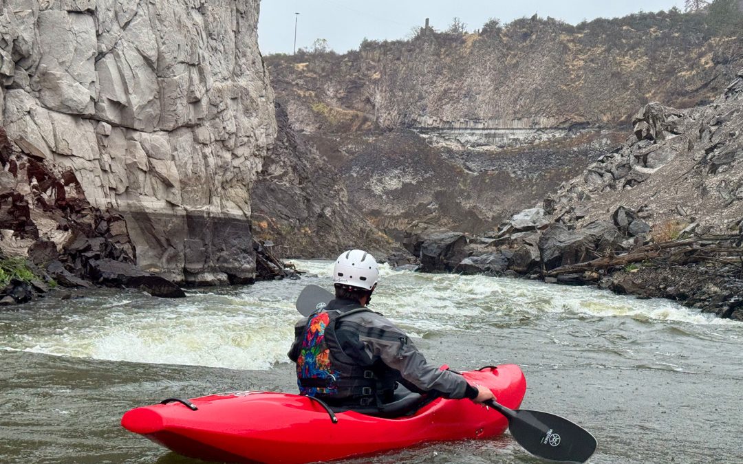
About the name: Kwá·n·a·tuk is a Shasta word meaning “lost place.” The alternate name “Forgotten Forest” recalls the trees that grew in the dewatered riverbed during 98 years of Copco 2 Dam operations. These hazardous in-channel trees were removed during dam deconstruction due to American Whitewater’s advocacy and involvement, restoring the river to a natural, navigable state.
Location
Other Rapids on This Run (13)
 Rapid
N/A
Rapid
N/A
 Rapid
N/A
Rapid
N/A
 Rapid
III
Rapid
III
 Rapid
III
Rapid
III
 Rapid
N/A
Rapid
N/A
 Rapid
N/A
Rapid
N/A
 Rapid
IV-
Rapid
IV-
 Rapid
IV-
Rapid
IV-
 Rapid
N/A
Rapid
N/A
 Rapid
IV-
Rapid
IV-
 Rapid
IV
Rapid
IV
 Rapid
N/A
Rapid
N/A
 Rapid
N/A
Rapid
N/A
Current Conditions
5-Day Forecast
American Whitewater