Ìk·wì·k
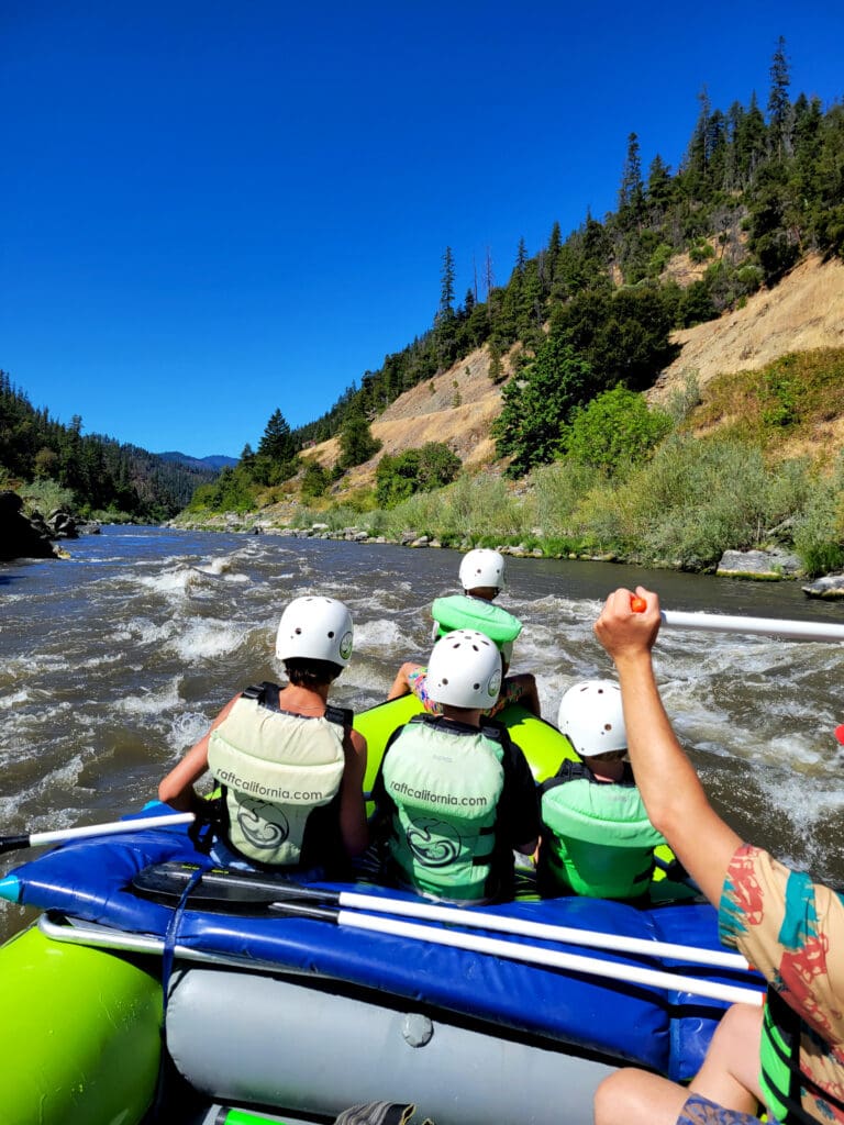
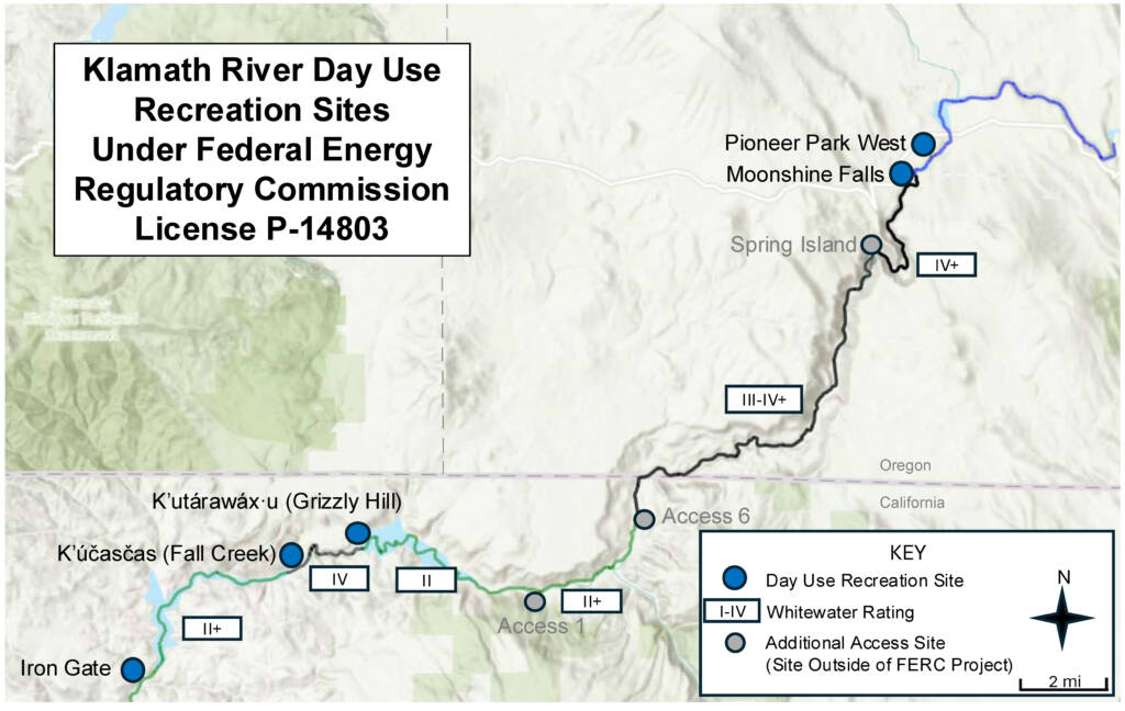
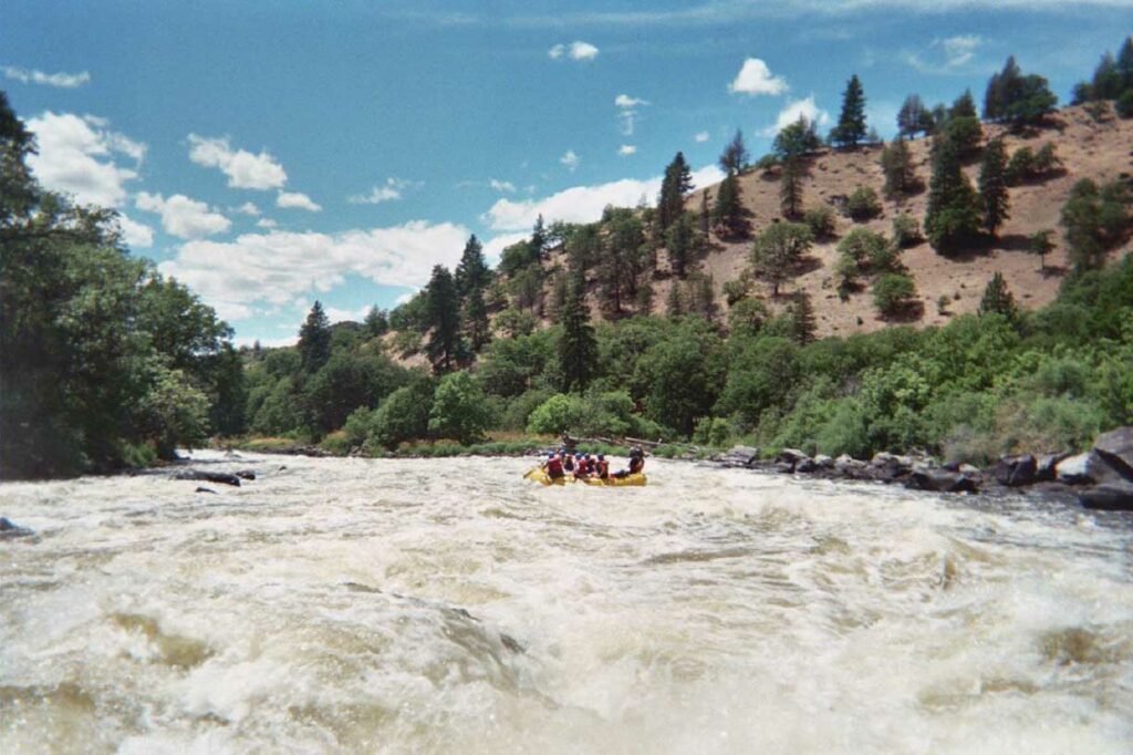
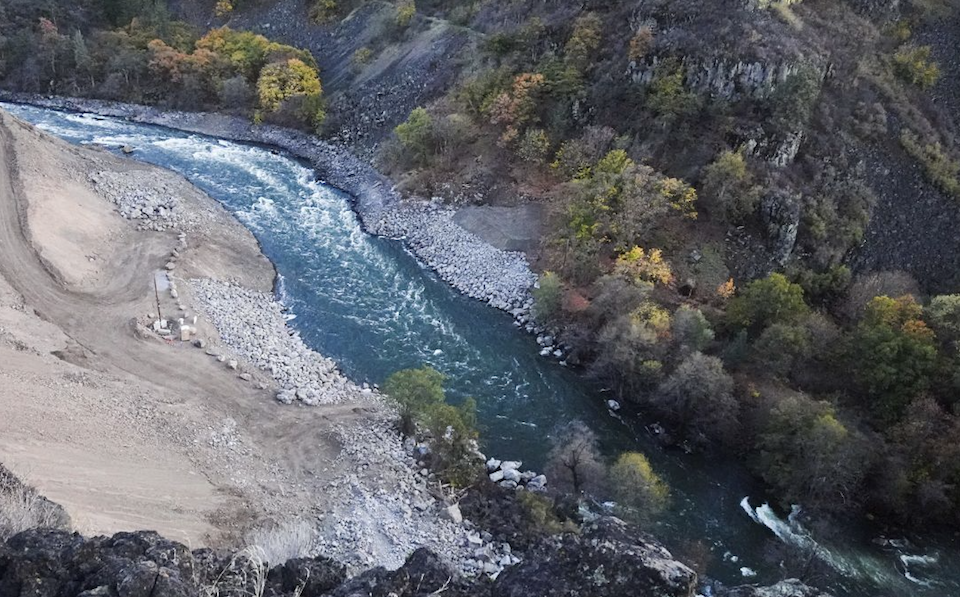
Klamath - 06. K’utárawáx·u / Grizzly Hill Access to K’účasčas / Fall Creek Access (CA)
Gauge Conditions
Photo
Description
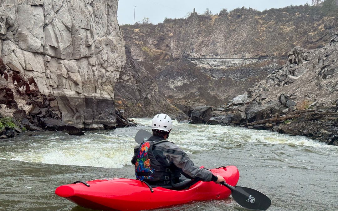
Ìk·wì·k (pronounced EEK-kwee-k) is the first rapid in the canyon and is located directly at the light-colored rock outcrop that rises prominently from the river left bank. The dominant feature of this rapid is the large wave located in the center of the river, which is pinched narrowly between big rocks on river right and the rock spire on river left. Others waves follow. The prominent rock wall here is known as Ìk·wì·k and is a traditional Shasta salmon fishing site. Bogus Tom and Moffett Creek Jake were among the last Shastans to fish here before it was flooded by Copco Reservoir, and both interacted with John C. Boyle, the dam's construction manager as the dam was being built. This name was chosen because it is the existing place name and honors Shasta culture and connection to the river.
Location
Other Rapids on This Run (13)
 Rapid
N/A
Rapid
N/A
 Rapid
N/A
Rapid
N/A
 Rapid
III
Rapid
III
 Rapid
N/A
Rapid
N/A
 Rapid
N/A
Rapid
N/A
 Rapid
III+
Rapid
III+
 Rapid
IV-
Rapid
IV-
 Rapid
IV-
Rapid
IV-
 Rapid
N/A
Rapid
N/A
 Rapid
IV-
Rapid
IV-
 Rapid
IV
Rapid
IV
 Rapid
N/A
Rapid
N/A
 Rapid
N/A
Rapid
N/A
Current Conditions
5-Day Forecast
American Whitewater