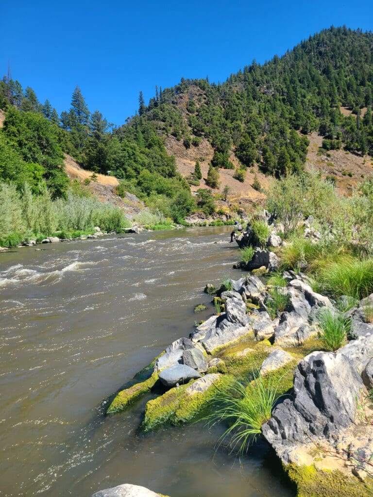
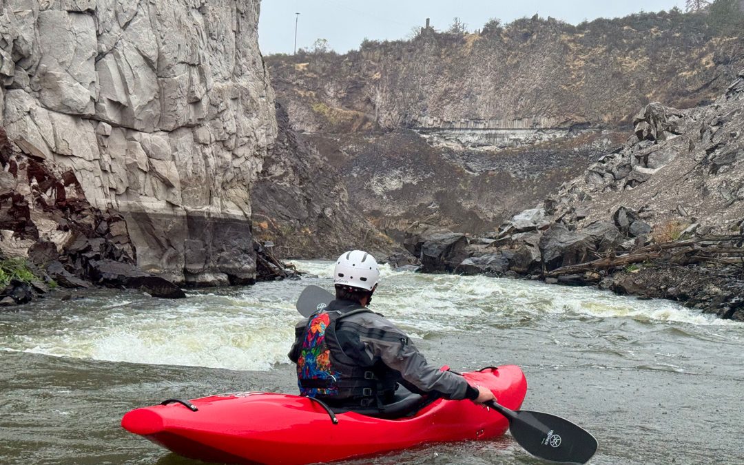
Canyon Entrance
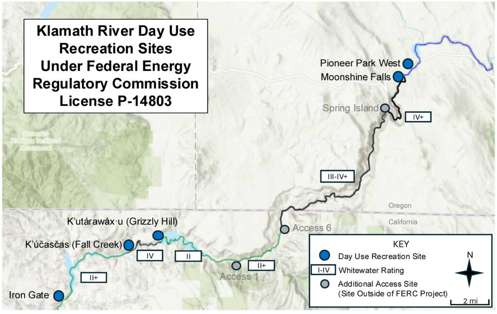
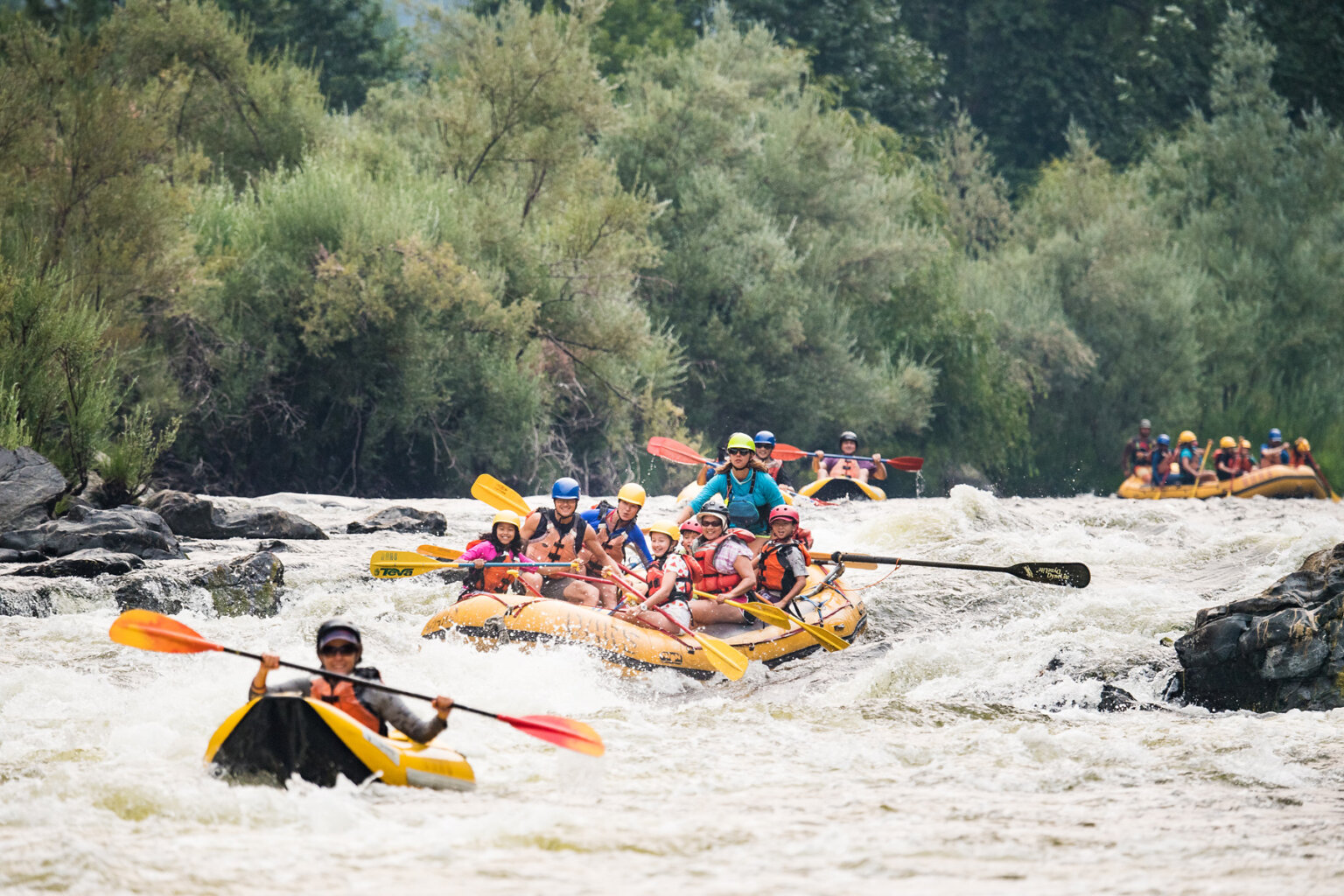
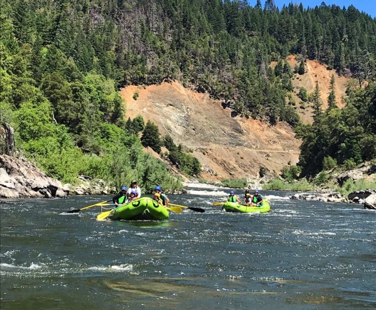
Klamath - 06. K’utárawáx·u / Grizzly Hill Access to K’účasčas / Fall Creek Access (CA)
Gauge Conditions
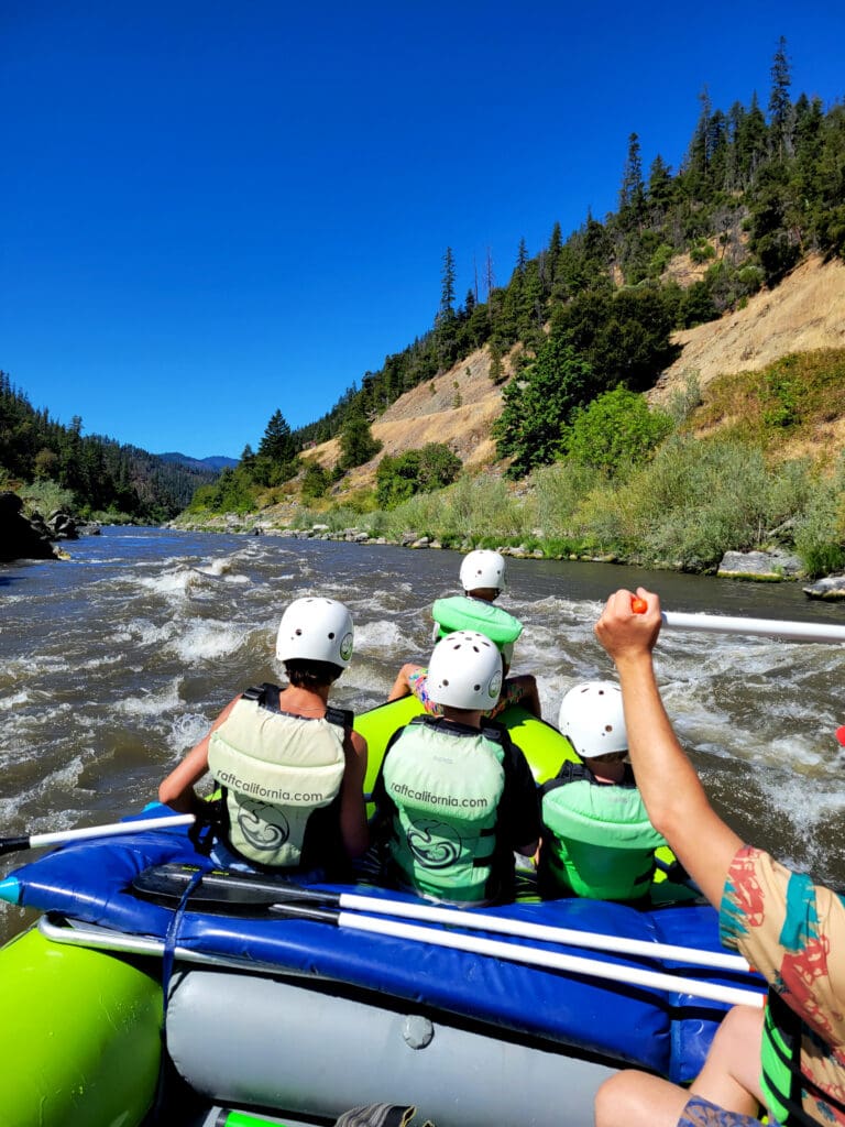
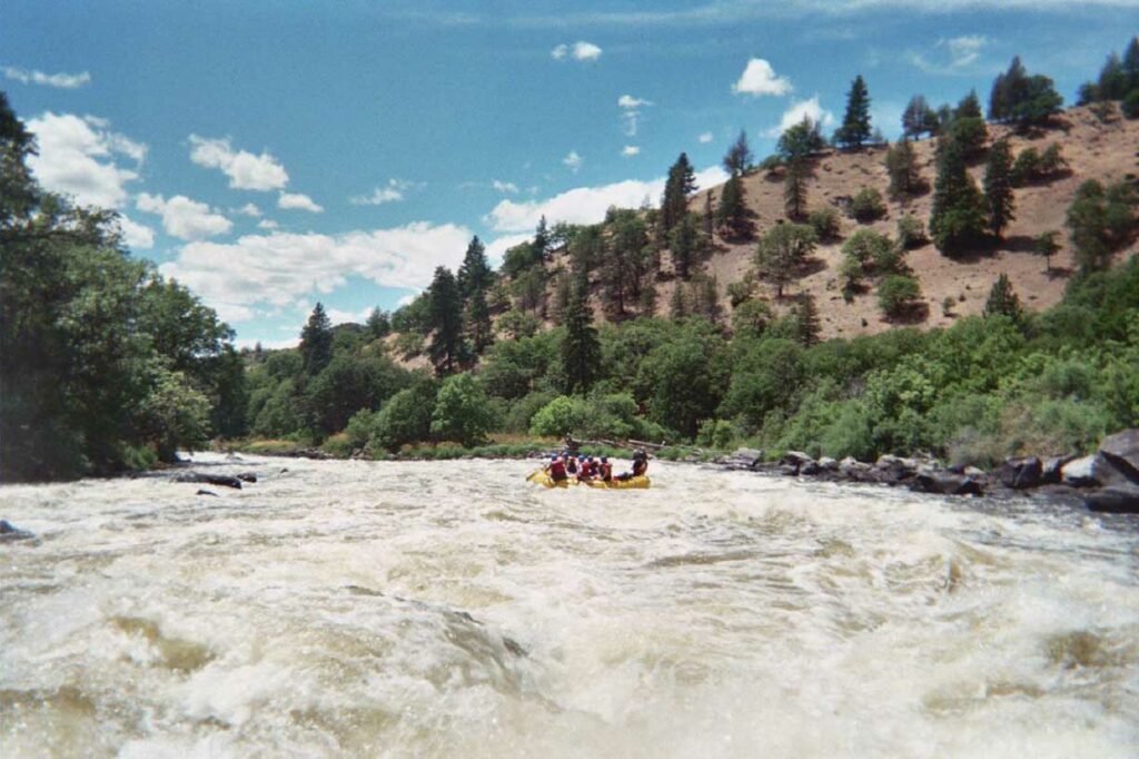
Photo

Description
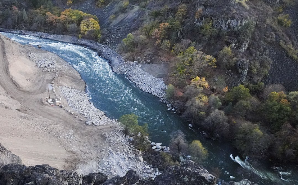
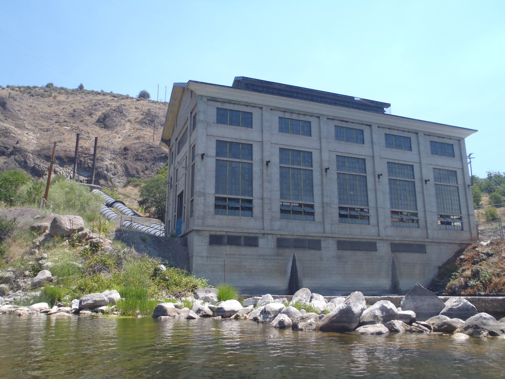
The Klamath bends right at the western end of the alluvial K’íka·c’é·ki Valley that was flooded beneath Copco Reservoir for 106 years and abruptly enters the narrow-walled confines of K’íka·c’é·ki Canyon, also known as Wards Canyon. A striking, light-colored rock wall rising from the left bank marks the traditional fishing site known to the Shasta people as Ìk·wì·k. It also marks the originally proposed location for the Copco 1 Dam, which was ultimately built about 1/4 mile downstream where the canyon walls contained more solid rock on the north side of the river.
Location
Other Rapids on This Run (13)
 Rapid
N/A
Rapid
N/A
 Rapid
III
Rapid
III
 Rapid
III
Rapid
III
 Rapid
N/A
Rapid
N/A
 Rapid
N/A
Rapid
N/A
 Rapid
III+
Rapid
III+
 Rapid
IV-
Rapid
IV-
 Rapid
IV-
Rapid
IV-
 Rapid
N/A
Rapid
N/A
 Rapid
IV-
Rapid
IV-
 Rapid
IV
Rapid
IV
 Rapid
N/A
Rapid
N/A
 Rapid
N/A
Rapid
N/A
Current Conditions
5-Day Forecast
American Whitewater