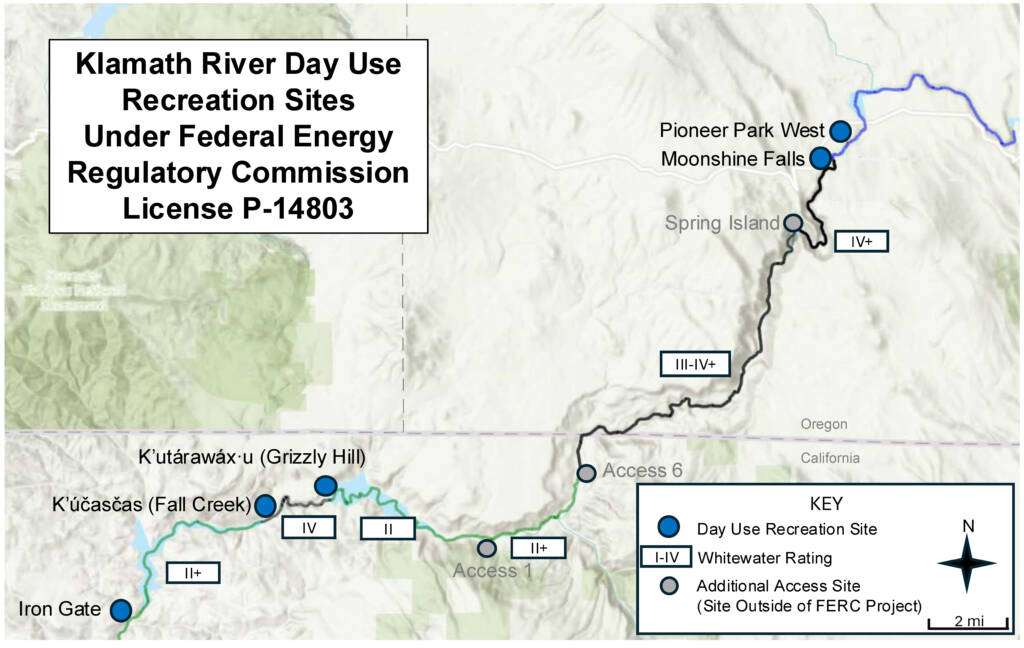
K’utárawáx·u (Grizzly Hill) Access
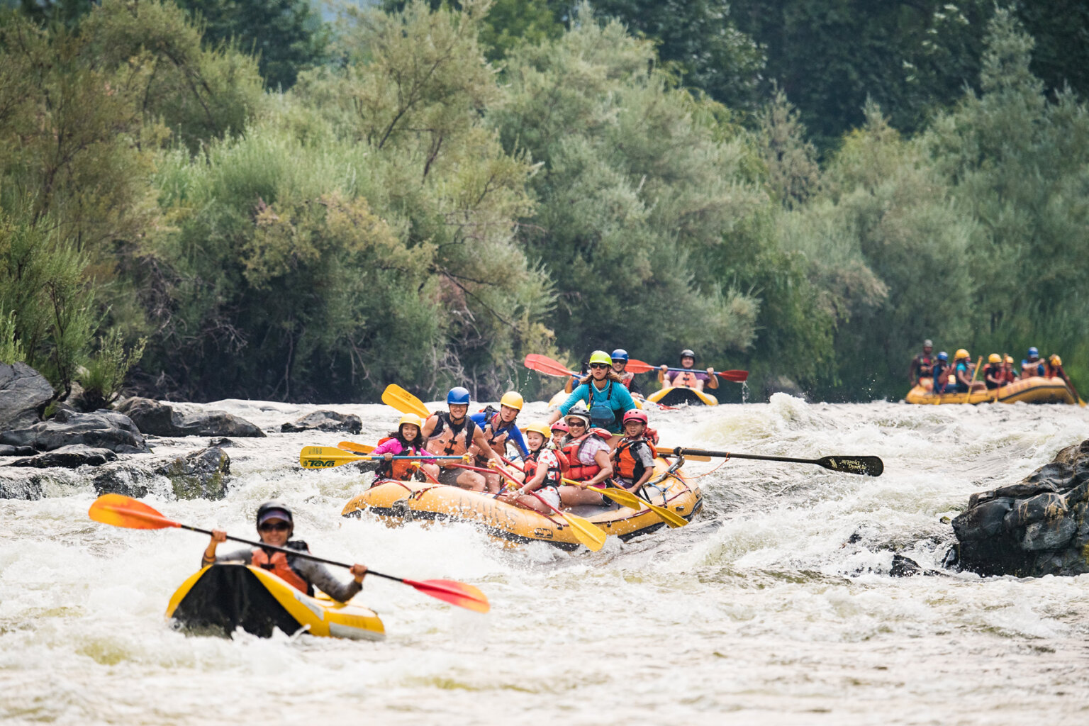
Klamath - 06. K’utárawáx·u / Grizzly Hill Access to K’účasčas / Fall Creek Access (CA)
Gauge Conditions
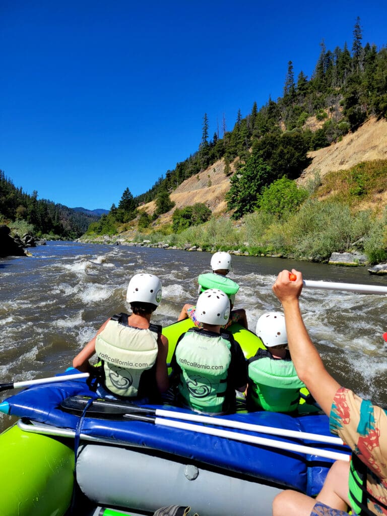
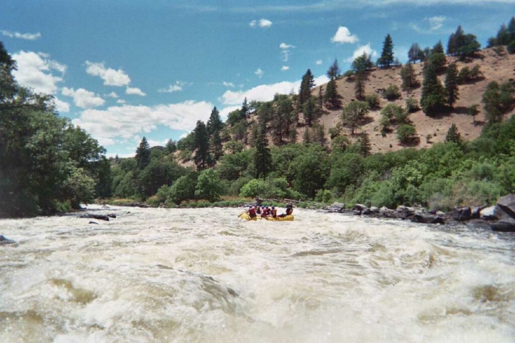
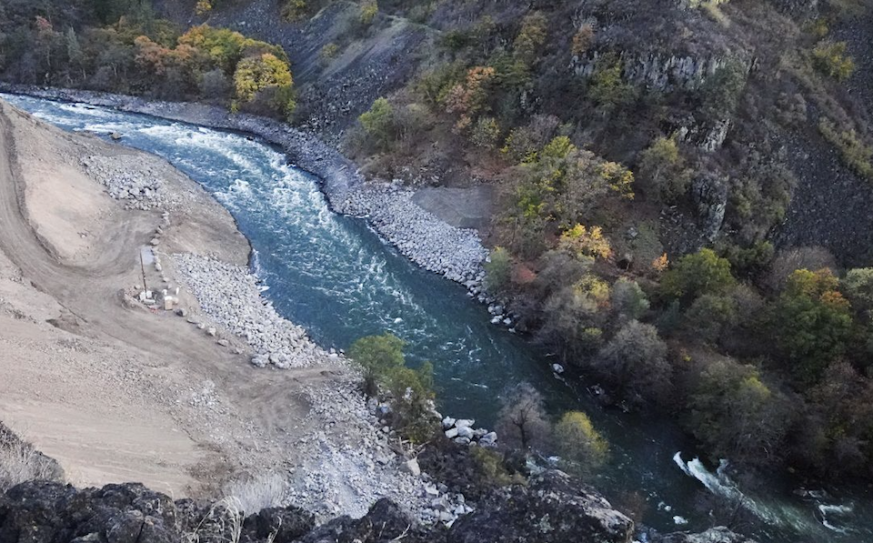
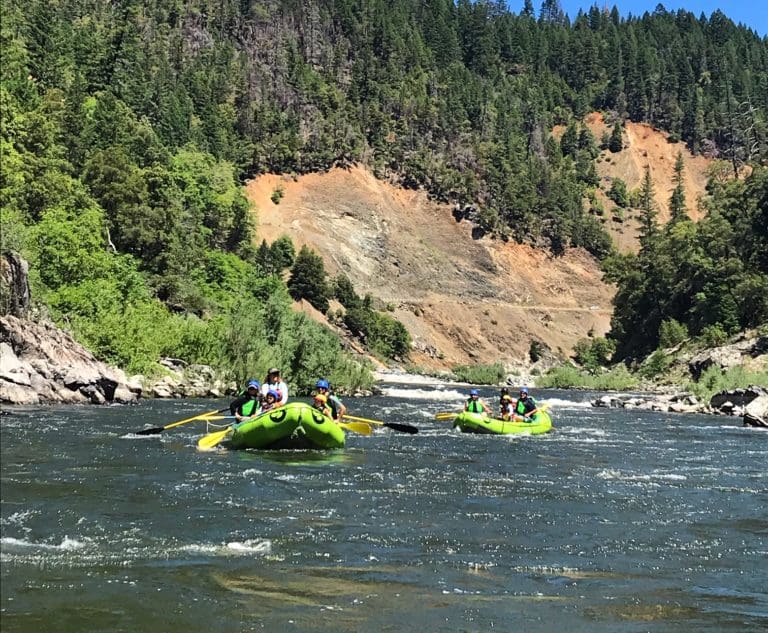
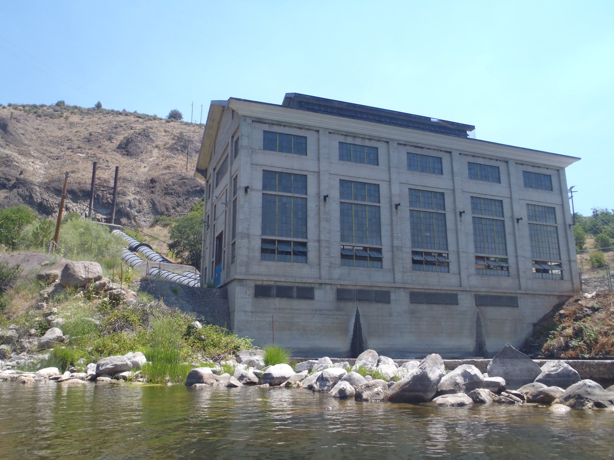
Photo
Description
The K’utárawáx·u (Grizzly Hill) Access on river right is named for the Shasta Indian place name (pronounced K’oo-TAH-rah-WAH-xoo). The site is managed by California Department of Fish and Wildlife on land set to be transferred to Shasta Indian Nation. The Shasta people have lived here since time immemorial and were stripped of their land through violence before hydropower dams took the last of their ancestral territory along the river. American Whitewater has worked with the Shasta Indian Nation to educate the public on respectful visitation in this culturally and spiritually significant landscape. American Whitewater helped secure $3.5 million from the State of California to design and construct this and two other sites to serve boaters and fire management crews. Amenities include an access road, boat launch and turnaround, staging and parking areas, bike rack, accessible vault toilet, garbage facilities, picnic spots, river viewing area, and multilingual kiosk.
Location
Other Rapids on This Run (13)
 Rapid
N/A
Rapid
N/A
 Rapid
III
Rapid
III
 Rapid
III
Rapid
III
 Rapid
N/A
Rapid
N/A
 Rapid
N/A
Rapid
N/A
 Rapid
III+
Rapid
III+
 Rapid
IV-
Rapid
IV-
 Rapid
IV-
Rapid
IV-
 Rapid
N/A
Rapid
N/A
 Rapid
IV-
Rapid
IV-
 Rapid
IV
Rapid
IV
 Rapid
N/A
Rapid
N/A
 Rapid
N/A
Rapid
N/A
Current Conditions
5-Day Forecast
American Whitewater