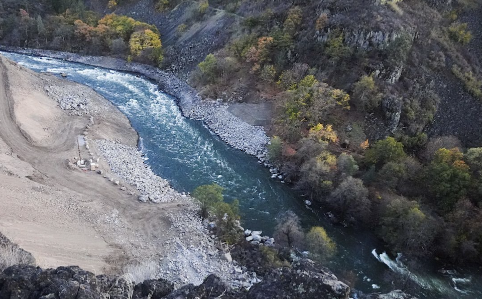
K’účasčas (Fall Creek) River Access
Klamath - 06. K’utárawáx·u / Grizzly Hill Access to K’účasčas / Fall Creek Access (CA)
Gauge Conditions
Photo

Description
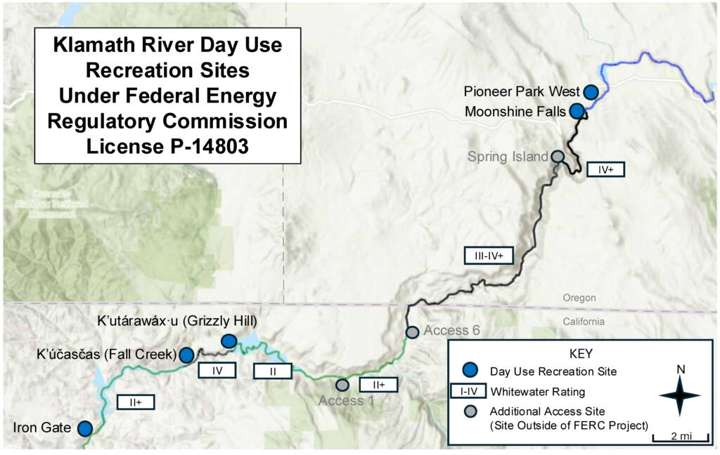
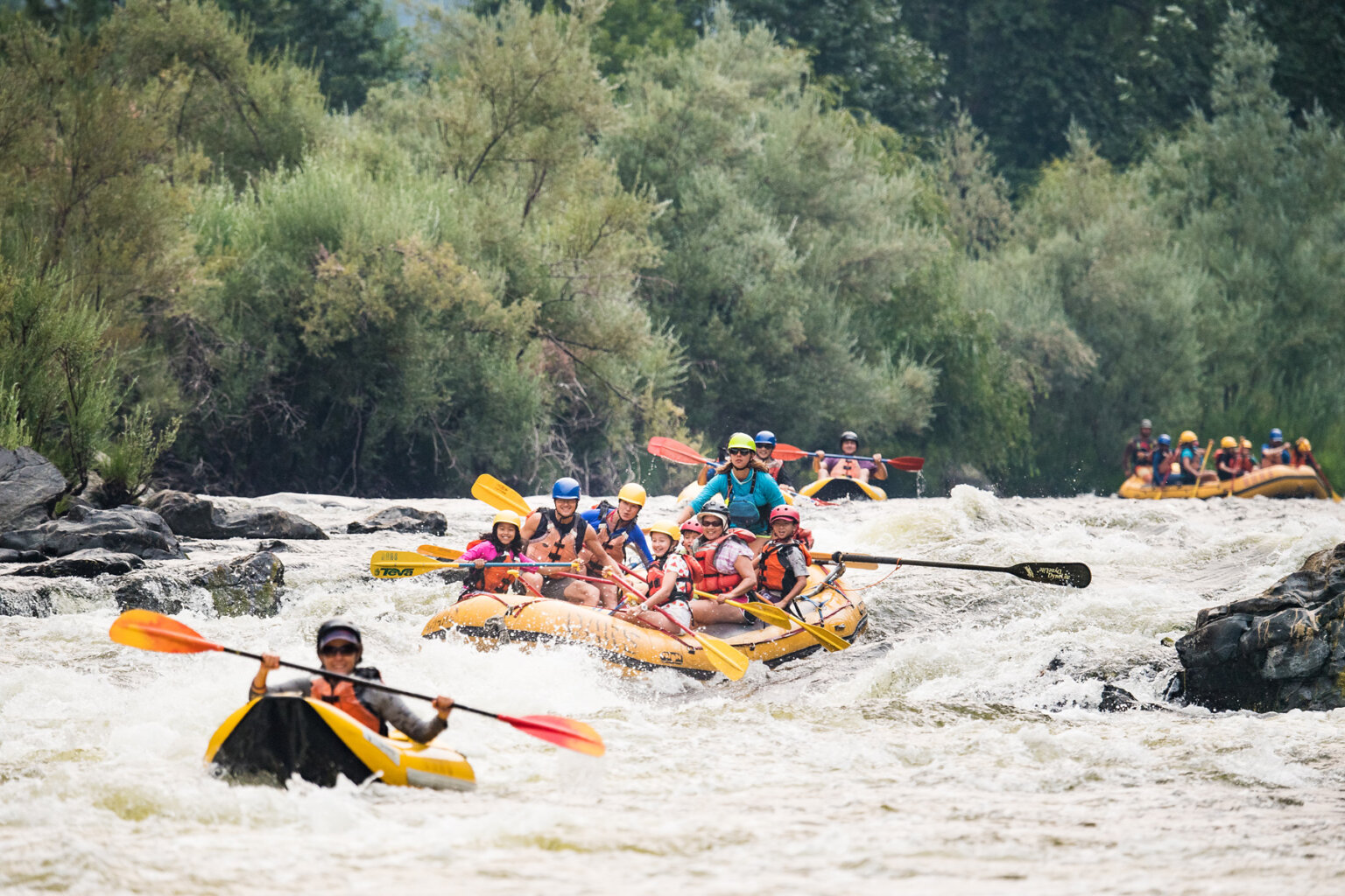
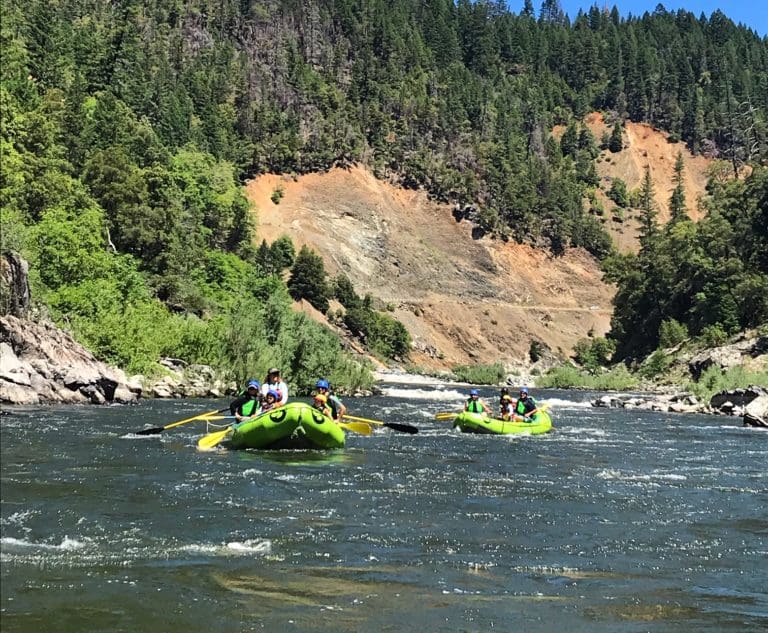
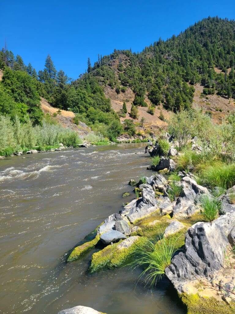
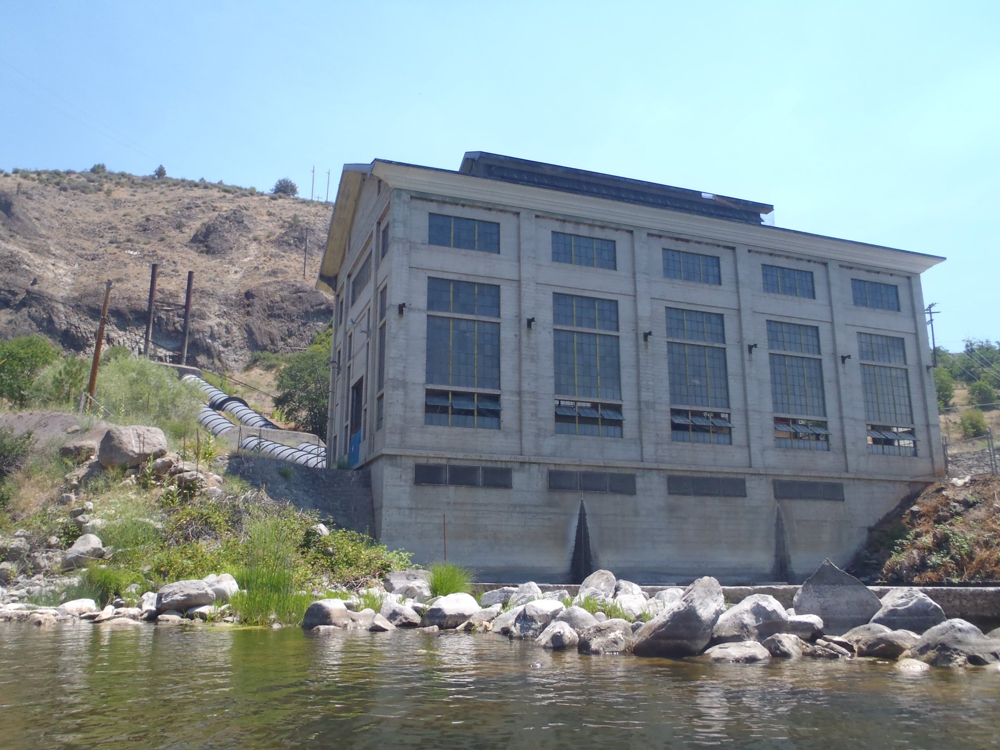
The river access site at K’účasčas (pronounced K’OO-chahs-chahs), just downstream of Fall Creek on river right, is currently managed by California Department of Fish and Wildlife on land set to be transferred to Shasta Indian Nation. Located at the end of K’íka·c’é·ki Canyon, this site was once the start of Iron Gate Reservoir. K’účasčas was a Shasta Indian village and remains sacred. Please stay on developed areas and show respect. American Whitewater secured $3.5 million from California to build this site and two others, also used for boater access and fire management. The site is available for day use from dawn to dusk. Amenities include access road, boat launch, turnaround, staging area, parking, bike rack, accessible toilet, trash, picnic table, fire pit, and a multilingual kiosk.
Location
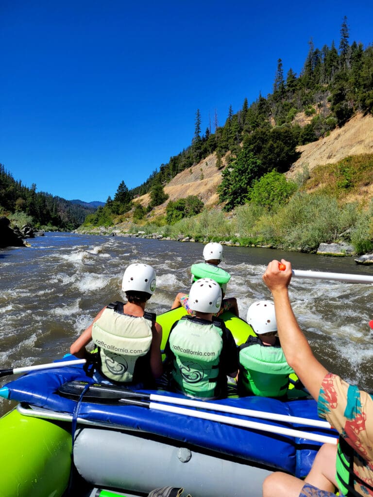
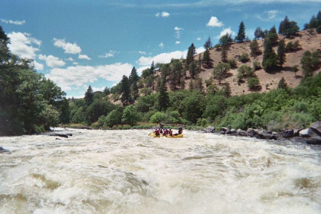
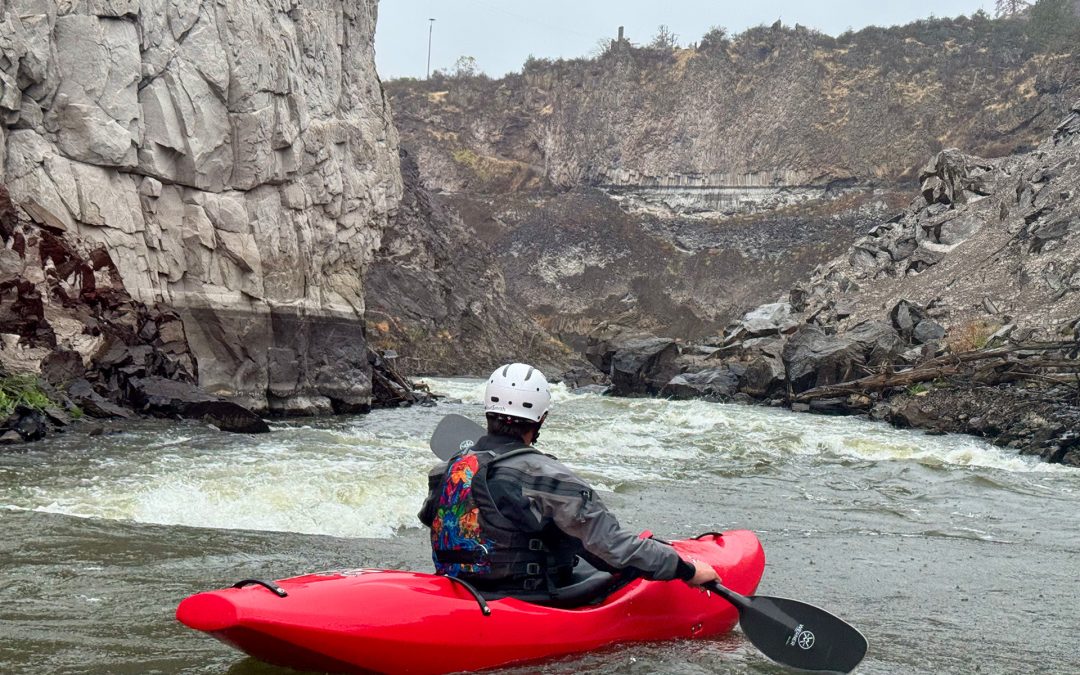
Other Rapids on This Run (13)
 Rapid
N/A
Rapid
N/A
 Rapid
N/A
Rapid
N/A
 Rapid
III
Rapid
III
 Rapid
III
Rapid
III
 Rapid
N/A
Rapid
N/A
 Rapid
N/A
Rapid
N/A
 Rapid
III+
Rapid
III+
 Rapid
IV-
Rapid
IV-
 Rapid
IV-
Rapid
IV-
 Rapid
N/A
Rapid
N/A
 Rapid
IV-
Rapid
IV-
 Rapid
IV
Rapid
IV
 Rapid
N/A
Rapid
N/A
Current Conditions
5-Day Forecast
American Whitewater