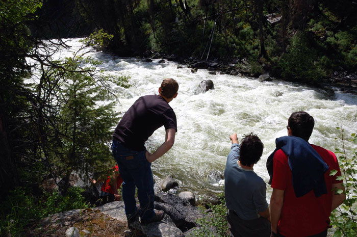
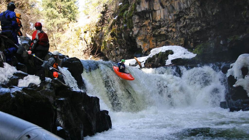
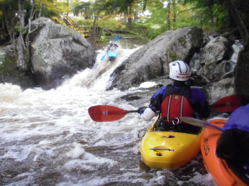
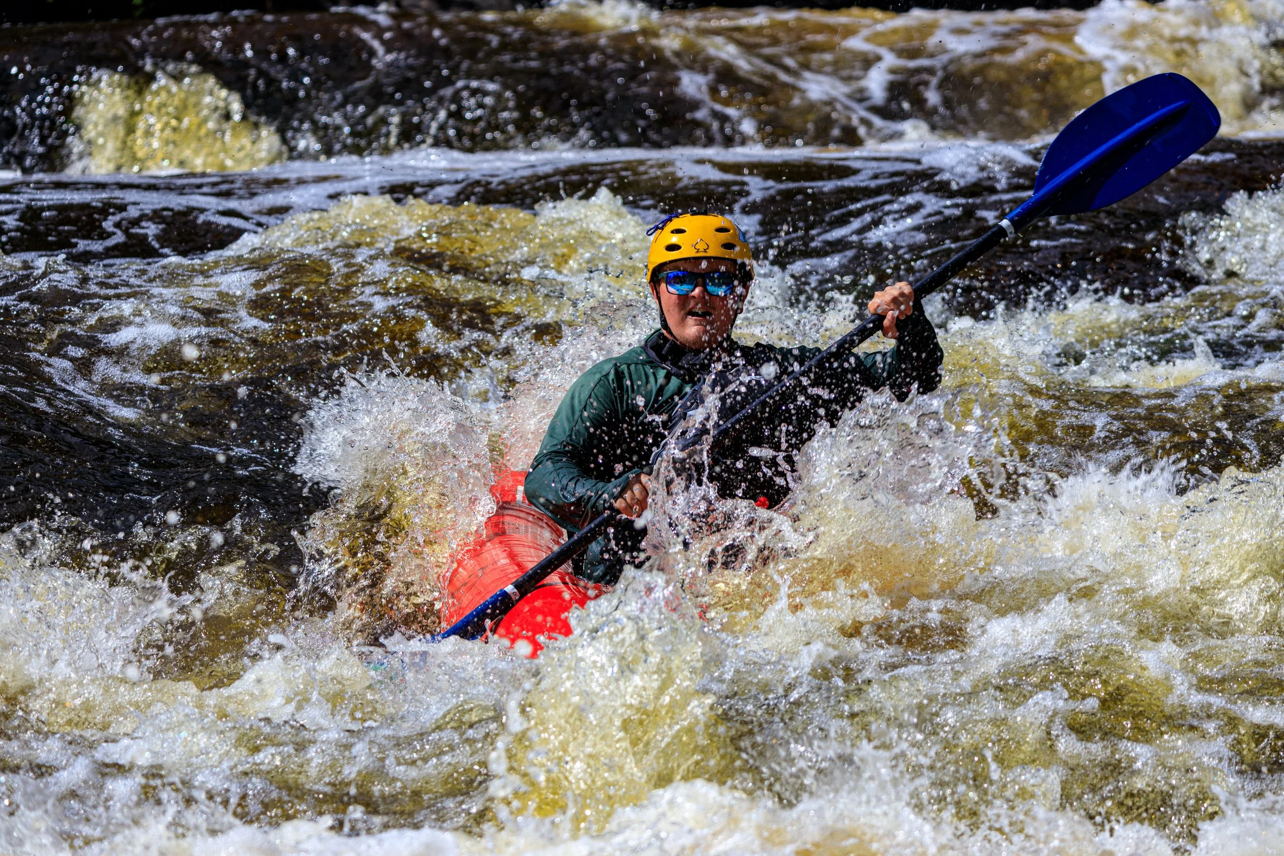
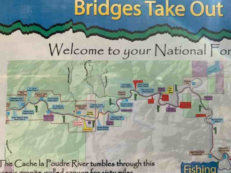
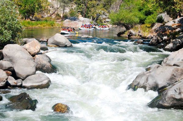
Whitewater Map
Explore rapids, waterfalls, playspots, hazards, and portages across the United States
24,753
Total Features
21,352
Rapids
855
Waterfalls
927
Playspots
1,513
Hazards
106
Portages
Click a category above to filter the map and list
Loading...
Map Legend
Rapids
Waterfalls
Playspots
Hazards
Portages
Rivers
Michigan 48 features

Light rapids
Rapid
N/A
More light rapids
Rapid
N/A

Powerlines
Rapid
N/A

Put In
Rapid
N/A

Road 557
Rapid
N/A

Take Out
Rapid
N/A
USGS sampling site
Rapid
N/A
Alternate put-in (former dam location)
Rapid
N/A
Alternate take-out
Rapid
N/A
Ass Hole
Hazard
N/A
Dam Drop
Waterfall
IV

Former USGS site
Rapid
N/A

Lower Falls
Waterfall
N/A
Middle Falls
Waterfall
IV
Power House Falls
Waterfall
IV
Put In
Rapid
N/A

Take Out
Rapid
N/A
Warm-up ledges
Rapid
III

Increased action
Rapid
N/A
Increased action
Rapid
N/A
Ledges/waves/holes
Rapid
II+
More waves/holes
Rapid
N/A
Put In: ~76.6 Sq.Mi. drainage
Rapid
N/A
Riffles, rips, and waves!
Rapid
N/A
Take Out
Rapid
N/A
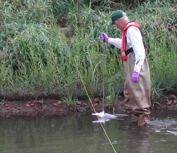
USGS sampling site
Rapid
N/A
USGS sampling site
Rapid
N/A
USGS sampling site
Rapid
N/A
Bedrock constriction
Rapid
N/A
Begin rapids sequence
Rapid
II

Confluence, Twentyfour Mile Creek
Rapid
N/A

Ford Ledge
Rapid
II
Island chain
Rapid
N/A
Ledge/wave/hole
Rapid
II
Ledge/wave/hole
Rapid
II
Possible additional minor features
Rapid
I
Possible short access
Rapid
N/A

Put In
Rapid
N/A

Put In
Rapid
N/A
Put In
Rapid
N/A

rapids
Rapid
N/A

Take Out
Rapid
N/A

Take Out
Rapid
N/A

Take Out
Rapid
N/A
USGS sampling site
Rapid
N/A
USGS sampling site
Rapid
N/A
Put In
Rapid
N/A

Take Out
Rapid
N/A